Share
The worldwide COVID-19 pandemic has now reached all 50 states in the U.S. In accordance with Federal Government and Center for Disease Control and Prevention (CDC) mandate social distancing is being put in place throughout the nation.
As announced on March 17, 2020, state and federal government agencies have been given no-cost or obligation access to high-resolution aerial imagery and related geospatial information captured by Vexcel Imaging to support their responses to the COVID-19 outbreak. Access has been granted at least through June and may be extended as efforts progress to controlling the outbreak of the coronavirus.
“High-resolution ortho and oblique imagery enables virtual site inspections and mapping often without the need for a physical on-site visit enabling organizations to continue to conduct business.” said Richard Butgereit, Director of Catastrophe Response with Vexcel. Highly detailed 7.5 cm imagery is available over metropolitan areas, as well as 20 cm imagery covering much of the rest of the nation.
“This program is an extension of the work that Vexcel does with the Geospatial Intelligence Center for post-disaster imagery such as wildfires, tornados, and hurricanes,” said Erik Jorgensen, Vexcel Group CEO, “but this marks the first time that we have supported a disease outbreak.”
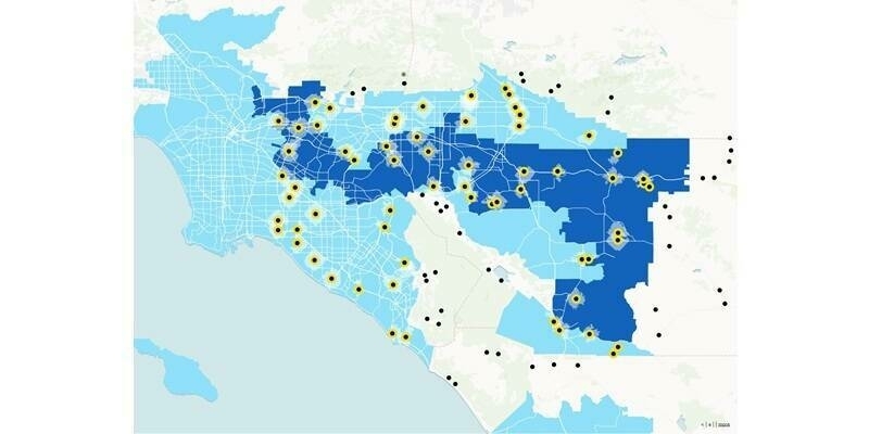
Several States have already taken advantage of this offer from Vexcel and expect to use the imagery for response planning efforts such as planning drive through testing locations to hot spot analysis of cluster locations.
Subscribe to our newsletter
Stay updated on the latest technology, innovation product arrivals and exciting offers to your inbox.
Newsletter