Share
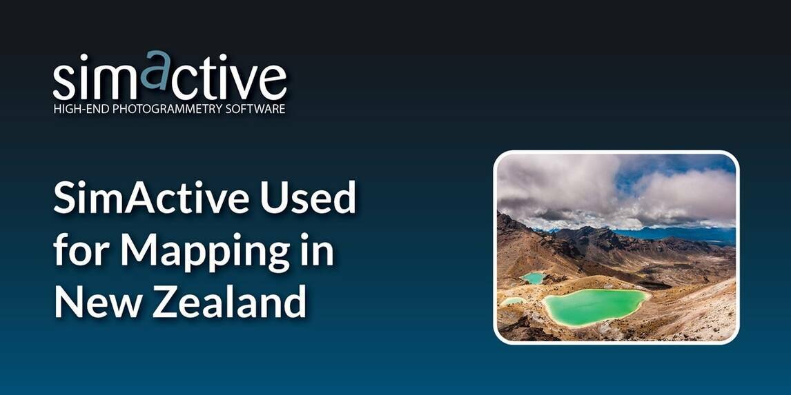
SimActive, a developer of photogrammetry software, announces the use of its Correlator3D product used by GMAPSNZ in New Zealand.
The software allows for the creation of accurate map products in New Zealand’s challenging terrain and environment.
GMAPSNZ has been processing drone-based imagery in New Zealand for the past 10 years. From agriculture to environmental assessment and engineering design, SimActive’s software is being used exclusively to produce top quality map products such as digital surface models for contouring and watershed analysis, and orthomosaics for project progress reporting.
“As the value of drones for mapping begins to plateau on the hype curve, there is ample opportunity for us, the early adopters to share our knowledge helping others avoid the mistakes previously made”, said Gordon Morris, owner of GMAPSNZ. “I can absolutely verify that SimActive leads the class in mapping software”.
Subscribe to our newsletter
Stay updated on the latest technology, innovation product arrivals and exciting offers to your inbox.
Newsletter

