Share
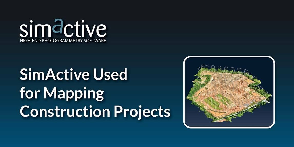
SimActive, a developer of photogrammetry software, announces the use of its Correlator3D product in the mapping of large construction projects by US firm Bullseye Construction.
The software allows for the creation of accurate map products including DSMs, point clouds and orthomosaics.
Bullseye Construction operates its own drone fleet and each site is constantly flown during the construction process to ensure the movement and relocation of quantities are properly estimated.
“From start to finish, we are continuously mapping to keep the overall project within budget”, said Chris Greene, UAS Manager with Bullseye Construction. “We use Correlator3D exclusively, as it has always proven to be the fastest and most accurate mapping solution available.”
Subscribe to our newsletter
Stay updated on the latest technology, innovation product arrivals and exciting offers to your inbox.
Newsletter

TD_TDID_INTREX-800x400.jpg)