Share
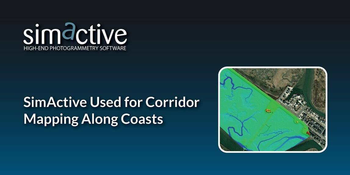
SimActive, a developer of photogrammetry software, announces the use of its Correlator3D product by the US Army Corps of Engineers for corridor mapping.
The software is used to process imagery and create mapping products in conjunction with topo-bathy lidar systems.
As part of the Corps of Engineers, the Joint Airborne Lidar Bathymetry Technical Center of Expertise (JALBTCX) uses the most advanced sensors to map US coastal shorelines. In combination with topo-bathy lidar, imagery is collected with a Phase One 150MP camera. Surfaces are generated from the lidar data and imported into Correlator 3D along with the imagery to rapidly produce blocks of orthomosaics used for all types of assessments.
“Correlator3D is by far the easiest to use and fastest image processing software out there”, said J. Heath Harwood, Physical Scientist at the US Army Corps of Engineers. “Its DEM editing and mosaic editing tools are outstanding.”
Subscribe to our newsletter
Stay updated on the latest technology, innovation product arrivals and exciting offers to your inbox.
Newsletter