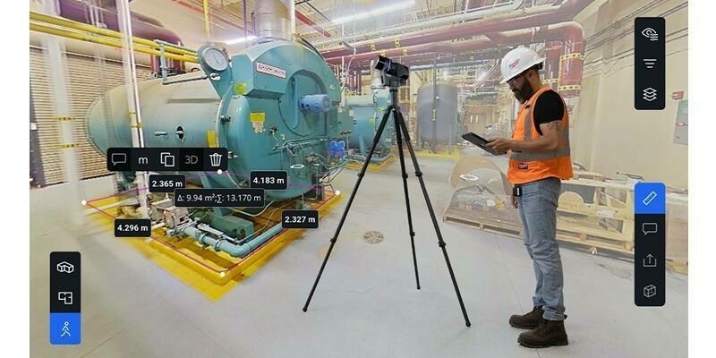
The Open Geospatial Consortium (OGC) seeks public comment on version 1.2 of the OGC Indexed 3d Scene Layer (I3S) and Scene Layer Package (*.slpk) Format Community Standard. Comments are due by July 16, 2020.
I3S enables the streaming and storage of arbitrarily large amounts of 3D geographic data. An I3S dataset, referred to as a Scene Layer, can consist of millions of discrete 3D objects with attributes, integrated surface meshes, symbolized points, or point cloud data covering vast geographic areas. Designed for performance and scalability, a scene layer enables the efficient encoding and transmission of geospatial content for an interactive visualization experience on web browsers, mobile, and desktop apps for both offline and online access.
I3S is web and cloud friendly and is rooted in modern standards and technological advancements in the areas of 3D graphics, data structuring, and mesh and texture compression. I3S is accessible for efficient client-side filtering. I3S empowers city and local governments, content providers, and GIS professionals to share scene layers consisting of terabytes of nation-wide point cloud coverage, city and site scale 3D mesh data collected at frequent intervals, 3D planning scenarios fusing both ‘as built’ and modeled information, and more. The increased accessibility and ease of consumption of geospatial content by both domain experts as well as casual users is being rapidly accelerated by standards such as I3S.
Subscribe to our newsletter
Stay updated on the latest technology, innovation product arrivals and exciting offers to your inbox.
Newsletter

