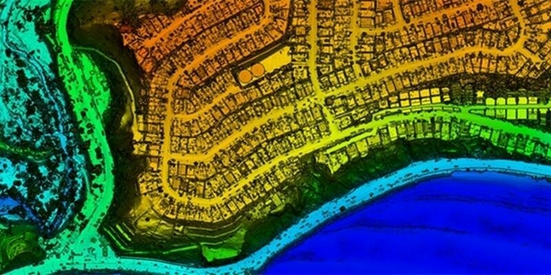
Pointfuse 2018 features a new cloud based data processing service, called Pointfuse Bolt, together with ground-breaking auto classification features and support for new laser scanning hardware and software formats. Designed to promote and support the practice of frequent capture Pointfuse 2018 is set to disrupt workflows in mapping, modelling and measurement by supporting the development of intelligent, ‘living’ models that are easy to consume and easy to share.
“The Pointfuse paragon is founded upon selectable geometry, scalability, small file sizes and optimized speed of processing. These pillars are the foundations to an integrated workflow that de-skills and automates the timely production of intelligent 3D models derived from a multitude of scanning technologies,” commented Mark Senior, Regional Sales Director at Pointfuse.
“Pointfuse 2018 will challenge the current paradigm of scanning at set intervals or predefined milestones models,” he continued. “With Pointfuse Bolt and the other new features in this release, users can scan as often as possible and use intelligent 3D models across a range of applications including Smart City projects, Virtual Reality experiences, Artificial Intelligence solutions and the Geospatial 4.0 revolution.”
Automatically converting point cloud data from laser scanners or photogrammetry, Pointfuse 2018 creates intelligent mesh models either on the desktop or, using Pointfuse Bolt, via the cloud.
Pointfuse Bolt is powered by unlimited parallelized computing on an industry standard secure platform to process point cloud captured during the design, build and delivery of complex construction projects. Offering a scalable yet affordable solution, the Bolt service reduces processing times and minimizes the IT requirement for expensive hardware whilst maximizing productivity across a range of BIM workflows.
New auto classification features in Pointfuse 2018 automatically detect both horizontal and vertical planar surfaces, separating them into layers. The automatic segmentation of the mesh model into discrete, selectable surfaces makes the ongoing classification of objects easier and faster reducing potential bottlenecks in the modelling process, further speeding workflows and producing repeatable, consistent results.
Pointfuse 2018 also includes support for Autodesk Recap the reality capture and point cloud software for 3D documentation, Z+F laser scanning and measurement systems and Topcon surveying equipment.
Pointfuse took place 16-18 October 2018 in Frankfurt, Germany and is described as the ‘global hub of the geospatial community’.
CONTACTS:
Mark Senior, [email protected], +44 (0) 208 017 8600
http://pointfuse.com
Subscribe to our newsletter
Stay updated on the latest technology, innovation product arrivals and exciting offers to your inbox.
Newsletter

