Share
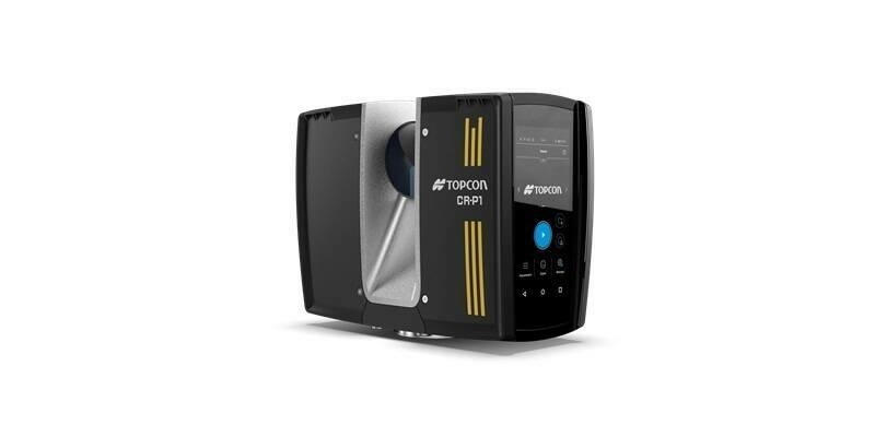
Pix4D, a global provider of photogrammetry and 3D mapping technology, and ProStar Holdings, a provider of Precision Mapping Solutions, announce a strategic partnership.
This collaboration combines Pix4D’s advanced 3D modeling capabilities with ProStar’s PointMan platform to support the next evolution in augmented reality for critical underground infrastructure.
Pix4D and PointMan represent a significant advancement in the digital transformation of underground infrastructure mapping. This partnership is groundbreaking because it delivers a powerful, user-friendly mobile solution for construction, engineering, and utility professionals, allowing them to visualize and manage buried infrastructure with unprecedented accuracy and efficiency.
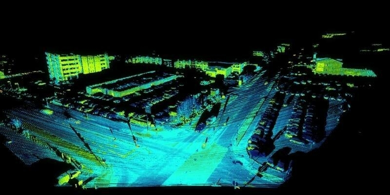
This combination will enable users to view a representation of what lies beneath the Earth’s surface in 3D from a smartphone. PointMan’s mobile and cloud-based architecture is designed to precisely capture and map subsurface assets, while Pix4D’s software transforms this data into real-time 3D mapping.
“The practical implications of our combined technologies are profound,” stated Andrey Kleymenov, CEO at Pix4D. “With PointMan and Pix4D, organizations of any size, anywhere in the world, can now reduce risk, enhance safety, and increase operational efficiency by making more informed decisions with a solution that is easily scalable and accessible.”
Subscribe to our newsletter
Stay updated on the latest technology, innovation product arrivals and exciting offers to your inbox.
Newsletter