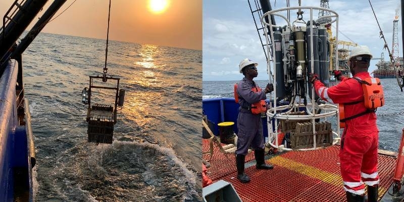
TDI-Brooks International Completes Two Ebs Program Offshore Angola
7th March 2021
TDI-Brooks International Completes Two Ebs Program Offshore AngolaNews as it happens! Keep in touch with the latest developments in business and technology in the regions or worldwide.
7th March 2021
TDI-Brooks International Completes Two Ebs Program Offshore Angola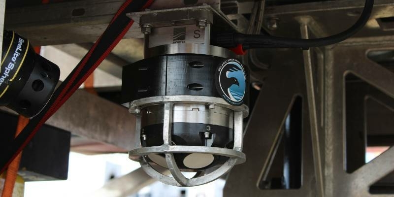
7th March 2021
Why accurate subsea navigation was vital for an ROV assisting with deep ocean research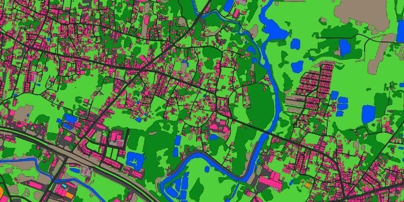
5th March 2021
Ecopia AI and Airbus partnership will provide next-generation digital maps on a global scale
5th March 2021
Bluesky LiDAR Survey to Help National Trust Find the Lost Village of Wallington
5th March 2021
Schneider Digital – stereoscopic display technologies for military applications
4th March 2021
Recordings are Now Available for the RIEGL Ultimate LiDAR February Webinar Series
4th March 2021
Creaform Releases the HandySCAN 3D | SILVER Line-Up
4th March 2021
UKHO launches new innovation challenge to reduce the impact of coastal inundation
3rd March 2021
Ocean Business postponed until October 2021
3rd March 2021
FREQUENTIS successfully demonstrates additional voice and data feature set for Emergency Services Network in Great Britain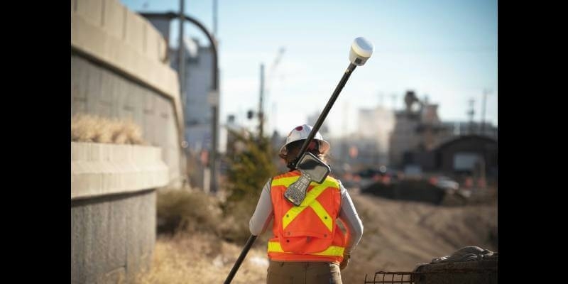
3rd March 2021
Trimble Announces Rugged, Lightweight Field Data Controller for Land and Construction Surveying
2nd March 2021
Trimble Launches Dimensions Spotlight Series for 2021
2nd March 2021
MGISS Announces Office Move to Accommodate Accelerated Growth

1st March 2021
Juniper Systems Limited Introduces New Mesa 3 Smart Card Reader for High-Security Industries
1st March 2021
thinkWhere Wins Contract to Open Up Access to European Mapping
1st March 2021
Newcastle University Pioneers Hyper-Resolution Flood Risk Modelling using Bluesky 3D Aerial Survey Data
26th February 2021
Leica Geosystems Offers Mobile, Agile 3D Reality Capture Solution for Boston Dynamics Spot
26th February 2021
Hexagon partners with Navantia for new combat system on Spanish Navy F-110 frigates
26th February 2021
ION GNSS+ 2021 Abstract Deadline: March 5, 2021
26th February 2021
Advisory Board Set for Geo Week February 6-8, 2022 in Denver, CO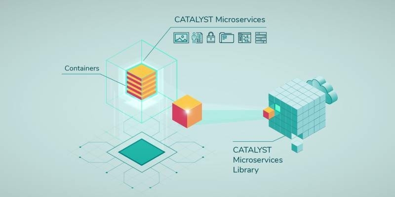
25th February 2021
CATALYST Announces Cost-Effective, Fully Scalable Processing of Earth Observation Imagery on the Cloud25th February 2021
Scientists Calculate Juneau Icefield Melting with 2D, 3D Glacier Models