
One Last Chance to See It All : A Global Stage for Geo Innovation
29th March 2021
One Last Chance to See It All : A Global Stage for Geo InnovationNews as it happens! Keep in touch with the latest developments in business and technology in the regions or worldwide.
29th March 2021
One Last Chance to See It All : A Global Stage for Geo Innovation29th March 2021
u-blox announces first timing solutions based on L1 and L5 GNSS signals
26th March 2021
How we deliver continuous data improvement
26th March 2021
SKY Perfect JSAT signs contract with Airbus to build Superbird-9 telecommunications satellite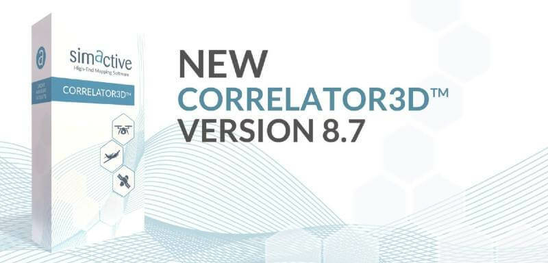
26th March 2021
SimActive Increases Drone Productivity with New Tools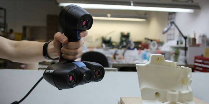
26th March 2021
Creaform Adds ACADEMIA 20 3D Scanner to its Educational Solution Suite25th March 2021
Astroscale Celebrates Successful Launch of ELSA-d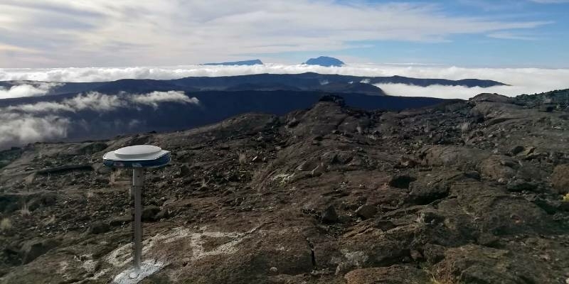
25th March 2021
Active Volcano Monitored with Spectra Geospatial SP85 GNSS Receivers25th March 2021
Bentley Acceleration Initiatives Launches OpenTower iQ, a Digital Co-venture with Visual Intelligence and Aeroprotechnik for 5G Towers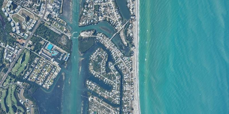
24th March 2021
Latest webinar: Phase One Advancing Aerial Surveying and Professional Photogrammetry Mapping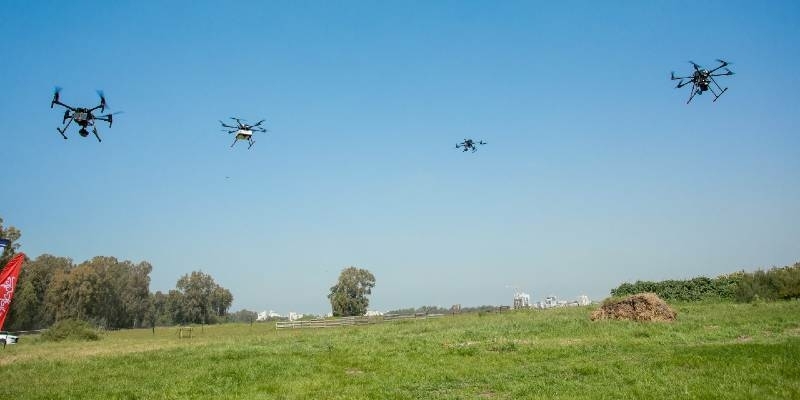
24th March 2021
Airwayz AI-based systems to support world’s first mesh network drone delivery test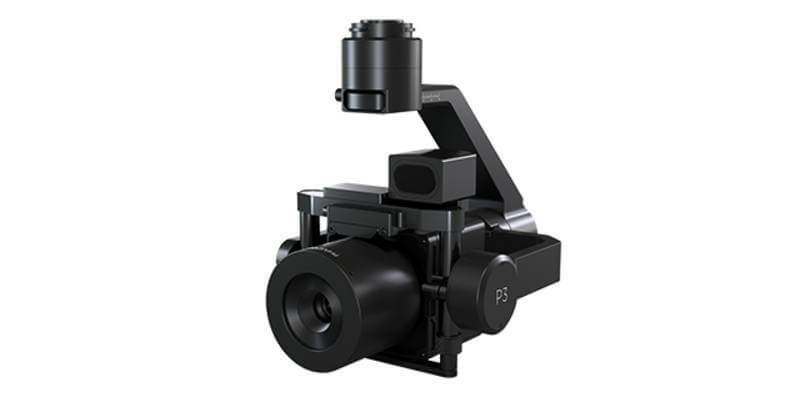
24th March 2021
Phase One Announces P3 Drone Payload for Asset Inspection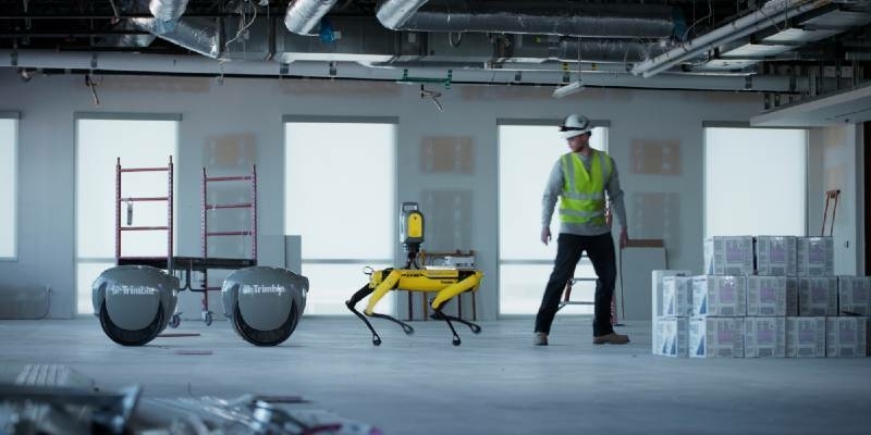
24th March 2021
Piaggio Fast Forward and Trimble Announce Proof–of-Concept Collaboration to Utilize Proprietary Smart Following Technology
23rd March 2021
RIEGL Announces NEW Products in the ALS and MLS Sector
23rd March 2021
The Virtual Exhibition in the Field of Geospatial Information The Geospatial Information Roadshow 2021 Opens
23rd March 2021
Eutelsat selects Airbus for key orbital slot with EUTELSAT 36D satellite
22nd March 2021
The Virtual Exhibition in the Field of Geospatial Information The Geospatial Information Roadshow 2021
22nd March 2021
1Spatial awarded prestigious Esri Partner Network award
18th March 2021
The 2nd Annual Military Space USA Conference Will Host a Focus Day Dedicated to Disruptive Technology
18th March 2021
Latest webinar from Gexcel - Digital Twinning for real estate assets management
18th March 2021
Riegl’s Ultimate Lidar Webinar Series: March 2021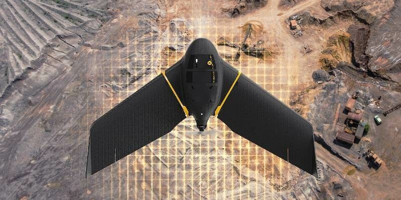
18th March 2021
senseFly and Tough Stump Collaboration Signals New Era in UAS Tactical Mapping, Aerial Intelligence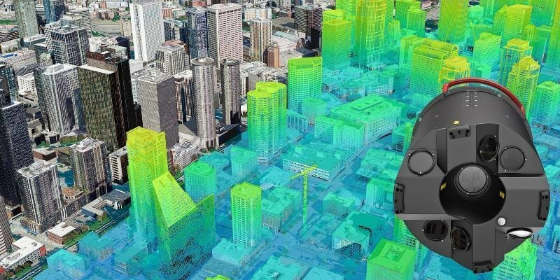
18th March 2021
Bluesky Addresses Urgent Need for 3D Mapping Data with Leica Sensor Investment