
10% Of Flights Donated To The Woodland Trust
21st April 2021
10% Of Flights Donated To The Woodland TrustNews as it happens! Keep in touch with the latest developments in business and technology in the regions or worldwide.
21st April 2021
10% Of Flights Donated To The Woodland Trust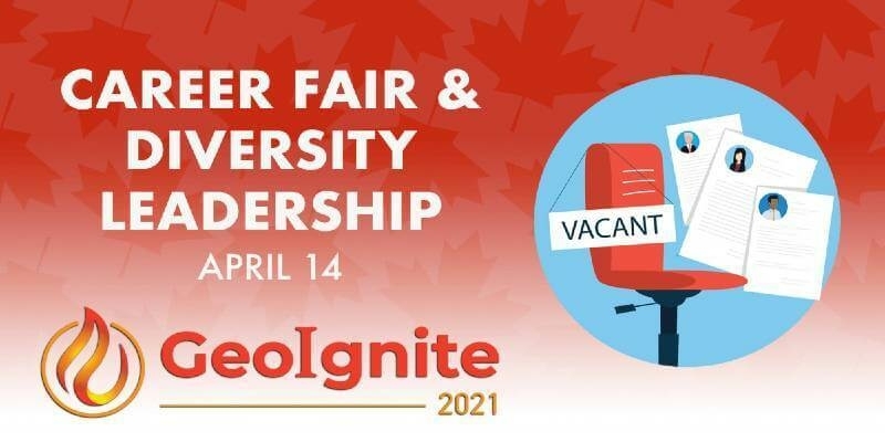
20th April 2021
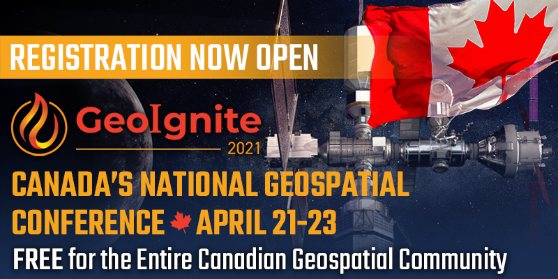
What Is GeoIgnite And What Does It Hold In 2021 For Canada’s Geospatial Industry?
20th April 2021
Septentrio launches its next-gen GNSS/INS product line: AsteRx-i3
19th April 2021
Processing of Quantum-Systems Drone Data Integrated in SimActive Software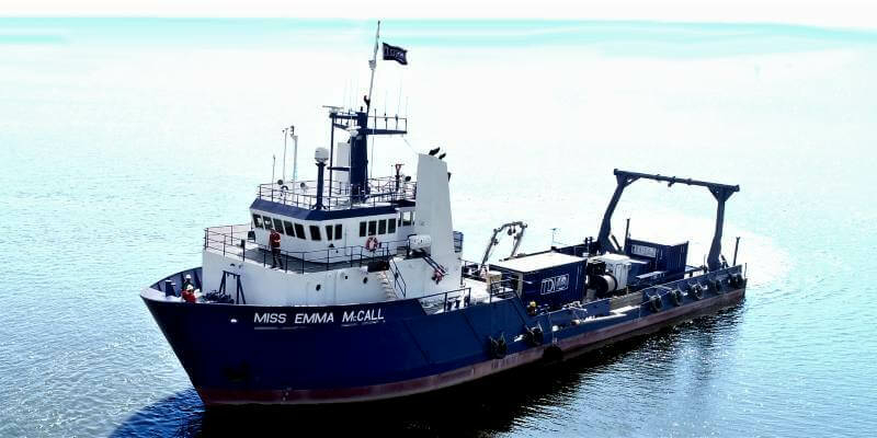
19th April 2021
TDI-Brooks International Heads To The East Coast Of The Us To Support Offshore Wind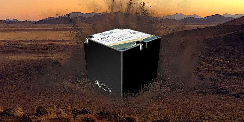
19th April 2021
Silicon Sensing introduces a new 9 DoF inertial measurement unit – the DMU41
16th April 2021
Canadian Underground Infrastructure Mapping Forum: April 29-30
16th April 2021
Google, Inc extends contract with 1Spatial
16th April 2021
Applied Driving Techniques Targets At-Risk Driving Behaviour With AI-Powered Driver App
15th April 2021
Hyperspectral Analytics in ENVI® - Whitepaper
15th April 2021
Discover how the SP85 GNSS receiver is used in the field
15th April 2021
Bentley Systems Announces Acquisition of Mobility Simulation Leader INRO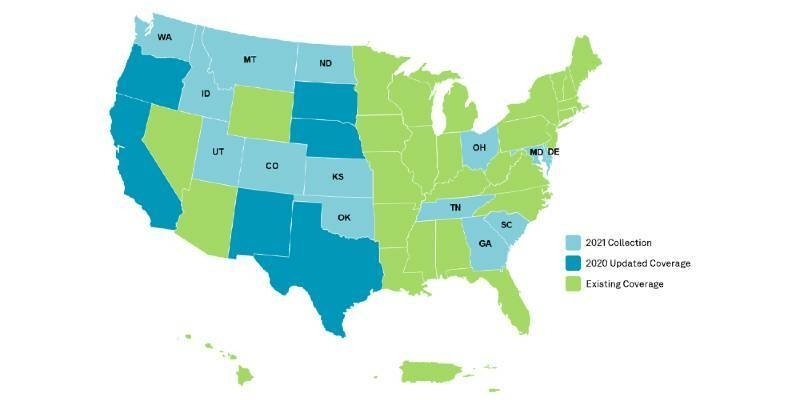
15th April 2021
HxGN Content Program to collect new single-season aerial data of 14 U.S. states this year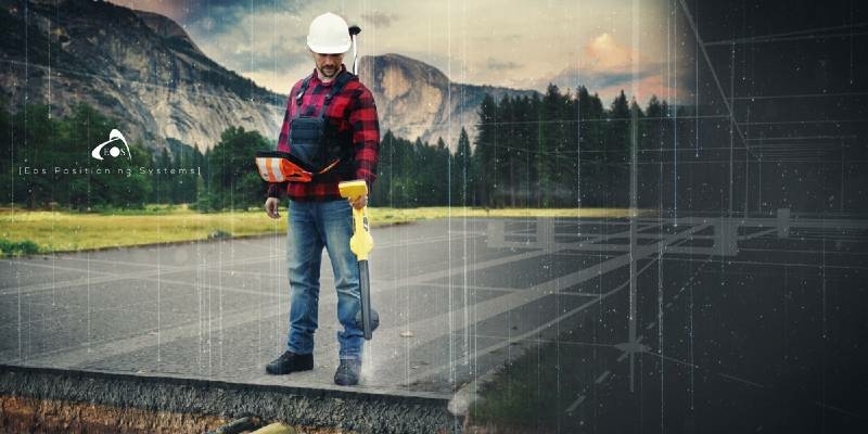
14th April 2021
Underground Utility Mapping Workshop with Eos Locate™ for ArcGIS Field Maps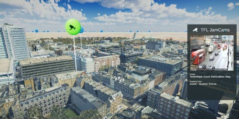
14th April 2021
Bluesky MetroVista Mesh Models Underpin Dynamic Map of London14th April 2021
Terra Drone Has Been Conducting Drone Flare Stack Inspection for Chevron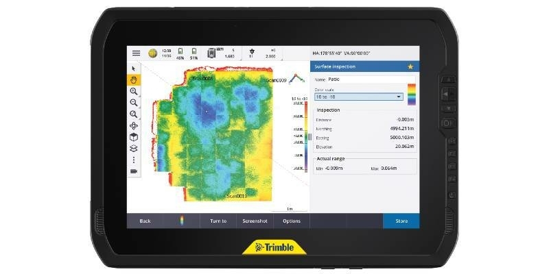
14th April 2021
Trimble T100 Tablet Delivers High-Performance Computing in the Field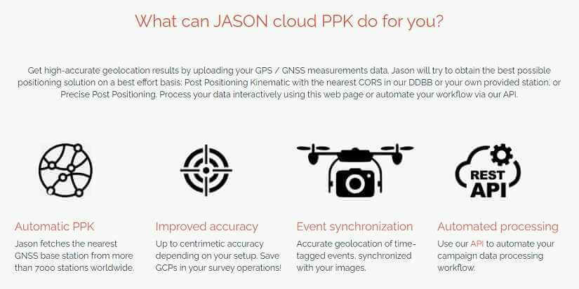
13th April 2021
Rokubun launches JASON: the first GNSS PPK service in the cloud
13th April 2021
SocietyWorks partners with Yotta to help UK councils get residents’ issues resolved faster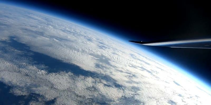
13th April 2021
UAVOS and STRATODYNAMICS Test HiDRON Stratospheric Glider To Validate Flight Control And Payload Data13th April 2021
What Is GeoIgnite And What Does It Hold In 2021 For Canada’s Geospatial Industry?