
Hexagon selected by Munich for shared mobility solution
4th May 2021
Hexagon selected by Munich for shared mobility solutionNews as it happens! Keep in touch with the latest developments in business and technology in the regions or worldwide.

4th May 2021
Hexagon selected by Munich for shared mobility solution
30th April 2021
Hexagon’s HxDR to host 3DNL, Cyclomedia’s Digital Twin of the Netherlands
30th April 2021
The 2021 IoT Global Awards are Open for Entries30th April 2021
Gaining Data Insight with 1Data Gateway and Dashboarding29th April 2021
Garmin announces GWX 8000 StormOptix weather radar with automated weather threat analysis technology29th April 2021
CGG Delivers 9,300 sq km of Data from Agata Reimaging to Support Brazil’s 7th Bidding Round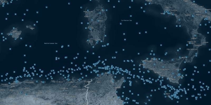
29th April 2021
HawkEye 360 Leverages Machine Learning from AWS to Optimize Maritime Security and Vessel Monitoring Capabilities
28th April 2021
Campfire Emerges From Stealth With Unique Holographic Collaboration System for Professional 3D Design Workflows
28th April 2021
JUICE Jupiter probe’s first taste of space
28th April 2021
Europa Technologies launches europaIQ property intelligence
27th April 2021
OneWeb’s Successful Launch #6 Marks Next Step in Bringing Fibre-like Connectivity to the Maritime Industry
27th April 2021
SSC announces four new polar antennas to strengthen its unmatched polar connectivity

26th April 2021
The ADE robotics project carries out the final field tests
26th April 2021
Riegl Ricast: Scan And Deliver – The New Vux-120
26th April 2021
Public Comment requested on OGC API - Common candidate standard, which outlines common elements for all OGC APIs
23rd April 2021
HERE Marketplace to include Tomorrow.io weather data to improve operational efficiency for enterprises
23rd April 2021
Architect Brings Design to Life with Virtual Reality Using 3D Building Models

22nd April 2021
Plowman Craven Passes Reins To Its Employees
22nd April 2021
CGG’s Smart Data Solutions Business Optimizes Performance of PleXus Data Management System
22nd April 2021
Trimble and Amberg Technologies Collaborate on a Solution for Tunneling Surveyors and Construction Professionals in North and South America

21st April 2021
Wiltshire Council uses Bluesky National Tree Map to Manage Public Tree Stock