News
News as it happens! Keep in touch with the latest developments in business and technology in the regions or worldwide.
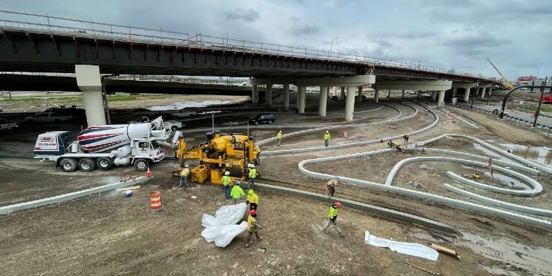
Robotic-based solutions from Topcon enhance curb and gutter paving performance
24th June 2021
Robotic-based solutions from Topcon enhance curb and gutter paving performance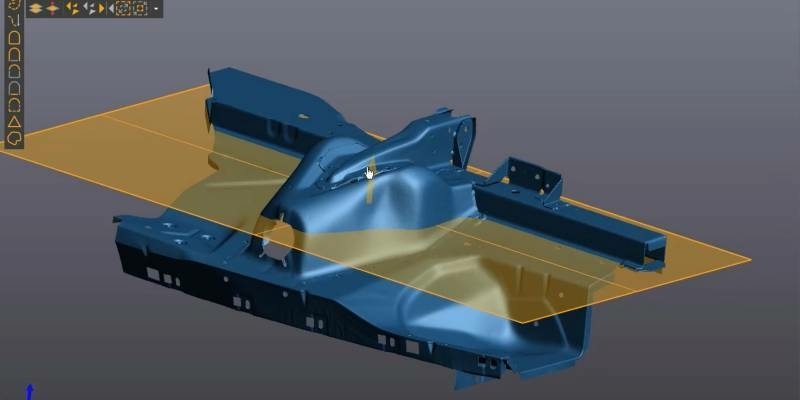
Creaform Announces the Release of VXelements 9.0
24th June 2021
Creaform Announces the Release of VXelements 9.0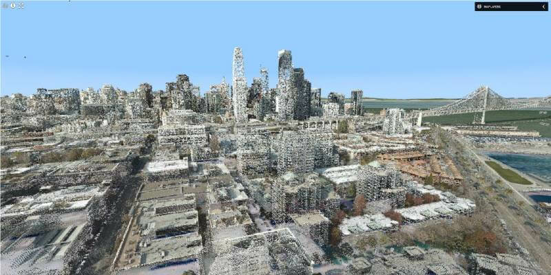

1Spatial Platform updates make complex workflows simple and efficient
23rd June 2021
1Spatial Platform updates make complex workflows simple and efficient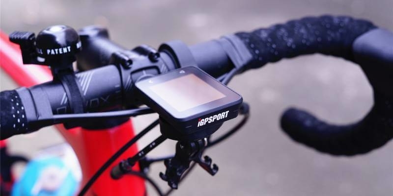
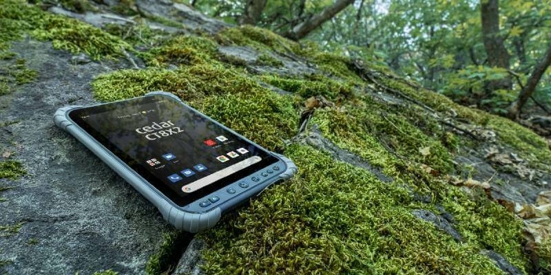
iGPSPORT’s latest cycling computer uses u-blox M10 to deliver ultra-long performance
23rd June 2021
iGPSPORT’s latest cycling computer uses u-blox M10 to deliver ultra-long performanceBabergh and Mid Suffolk District Councils move to cloud GIS
22nd June 2021
Babergh and Mid Suffolk District Councils move to cloud GISAsia's one of the biggest geospatial event developed together With the geospatial information industry
22nd June 2021
Asia's one of the biggest geospatial event developed together With the geospatial information industry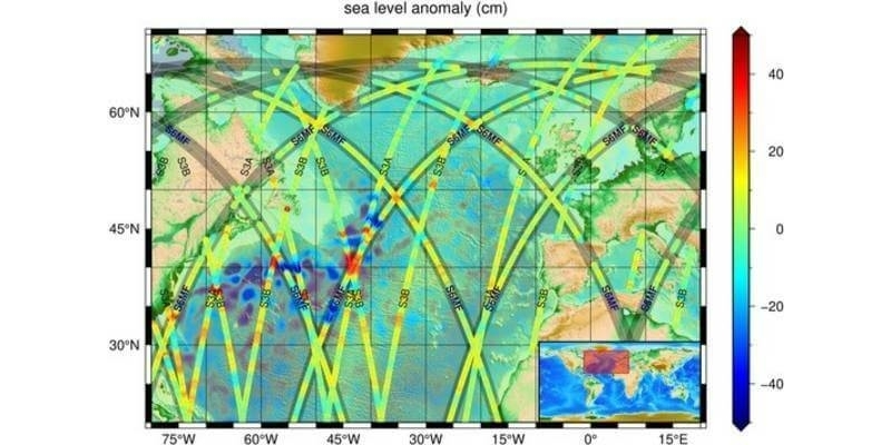
Joint European-US Copernicus Sentinel-6 mission will benefit weather forecasting and climate change monitoring and adaptation efforts
22nd June 2021
Joint European-US Copernicus Sentinel-6 mission will benefit weather forecasting and climate change monitoring and adaptation efforts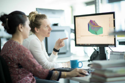
Bentley Systems Completes Acquisition of Seequent, Global Provider of 3D Modeling Software for the Geosciences
21st June 2021
Bentley Systems Completes Acquisition of Seequent, Global Provider of 3D Modeling Software for the Geosciences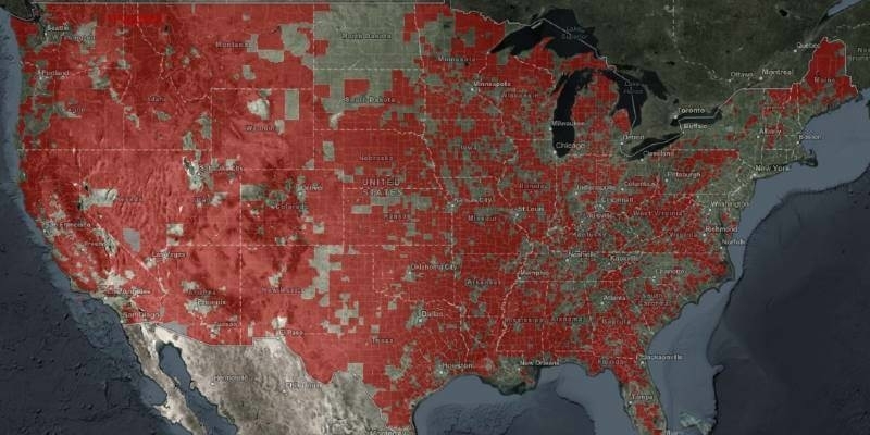
NTIA Creates First Interactive Map to Help Public See the Digital Divide Across the Country
21st June 2021
NTIA Creates First Interactive Map to Help Public See the Digital Divide Across the Country
Call for authoritative geospatial information to be included in EU Zero Pollution Action Plan
21st June 2021
Call for authoritative geospatial information to be included in EU Zero Pollution Action Plan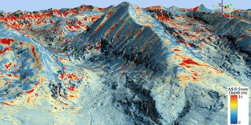
Airborne Snow Observatories takes delivery of the all-new cutting-edge RIEGL VQ-1560 II-S LiDAR System
18th June 2021
Airborne Snow Observatories takes delivery of the all-new cutting-edge RIEGL VQ-1560 II-S LiDAR System
Centimeter-level GPS technology with sensor fusion simplifies precise positioning for robotic lawnmowers and e-scooters
18th June 2021
Centimeter-level GPS technology with sensor fusion simplifies precise positioning for robotic lawnmowers and e-scooters
Globalstar SPOT Gen4 to Provide Tracking and Safety for Thousands of Adventure Travellers in 25 European Destinations
18th June 2021
Globalstar SPOT Gen4 to Provide Tracking and Safety for Thousands of Adventure Travellers in 25 European Destinations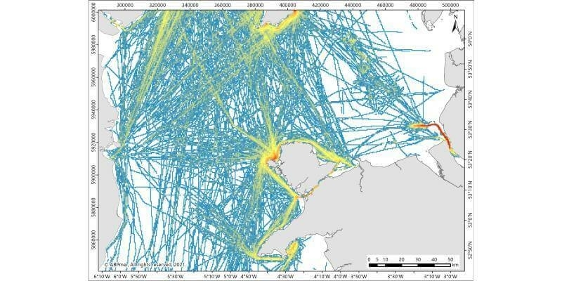
RYA Coastal Atlas update to improve protection of recreational boating
17th June 2021
RYA Coastal Atlas update to improve protection of recreational boating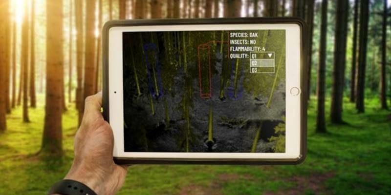
Outsight, the 1st LiDAR that Sees Individual Trees While 3D Mapping Forests in Real-Time
17th June 2021
Outsight, the 1st LiDAR that Sees Individual Trees While 3D Mapping Forests in Real-Time
Public Comment Requested on revision to OGC 3D streaming community standard, I3S
17th June 2021
Public Comment Requested on revision to OGC 3D streaming community standard, I3S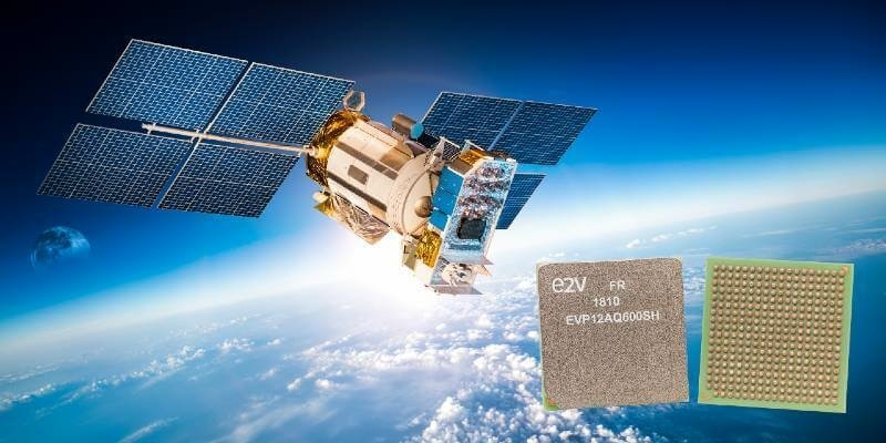
Teledyne e2v First to Have Fully Space-Qualified 4-Channel ADC
16th June 2021
Teledyne e2v First to Have Fully Space-Qualified 4-Channel ADC
Boston University Uses Bluesky Aerial Photomaps to Research Climate Change
16th June 2021
Boston University Uses Bluesky Aerial Photomaps to Research Climate Change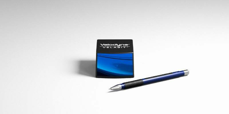
Velodyne Lidar Introduces Next-Generation Velabit Sensor
16th June 2021
Velodyne Lidar Introduces Next-Generation Velabit Sensor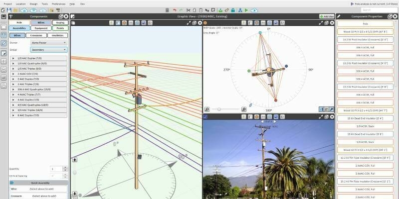
Bentley Systems Announces Acquisition of SPIDA, Leader in Utility Pole Structure Management
15th June 2021
Bentley Systems Announces Acquisition of SPIDA, Leader in Utility Pole Structure Management
Northamptonshire Fire and Rescue Service adopts GIS software for risk analysis
15th June 2021
Northamptonshire Fire and Rescue Service adopts GIS software for risk analysis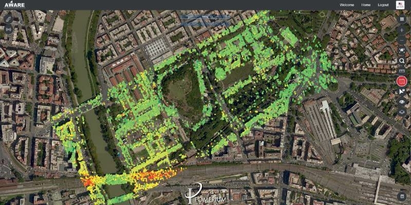
e-GEOS presents Pomerium: satellites, drones and 5G to protect the historic centre of Rome
15th June 2021
e-GEOS presents Pomerium: satellites, drones and 5G to protect the historic centre of Rome