
Key Case Studies to be presented at SMi's 19th Annual Benelux Infrastructure Virtual Forum
11th October 2021
Key Case Studies to be presented at SMi's 19th Annual Benelux Infrastructure Virtual ForumNews as it happens! Keep in touch with the latest developments in business and technology in the regions or worldwide.

11th October 2021
Key Case Studies to be presented at SMi's 19th Annual Benelux Infrastructure Virtual Forum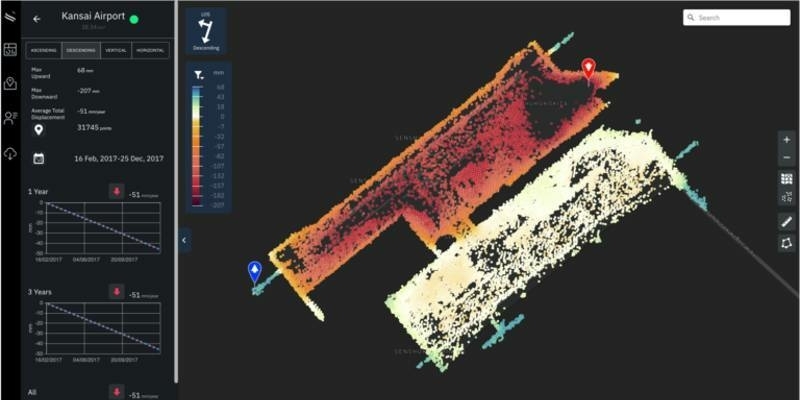
8th October 2021
JICA and Synspective start demonstration for the development of a disaster prevention management system in Guatemala using SAR satellite data
8th October 2021
Weather satellite MetOp-SG B rockets ahead
8th October 2021
Less than 4 Weeks to SMi’s 23rd Annual Global MilSatCom Confex in London
7th October 2021
We’re excited to announce our agenda and line up of speakers!
7th October 2021
L3Harris - Solve Geospatial Problems With Deep Learning
7th October 2021
The Cohesive Companies Expand in Transportation Infrastructure Globally with Acquisition of OXplus and through Executive Succession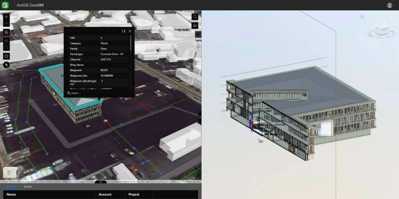
7th October 2021
Esri releases ArcGIS GeoBIM, bringing spatial context to AEC operations
6th October 2021
Silicon Sensing showcases marine-focused inertial products at Ocean Business
6th October 2021
The best thing in anti-jam technology just got better: Hexagon | NovAtel enhances the performance of the GAJT-710 product line
6th October 2021
SimActive Releases Version 9.0 with Distributed Processing
6th October 2021
Action packed line-up for Ocean Business 2021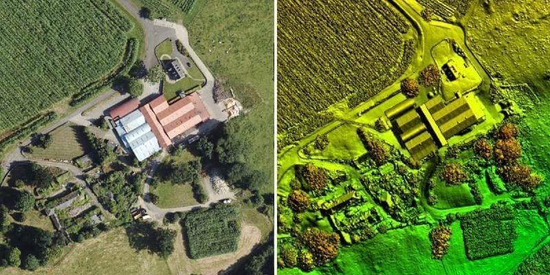
5th October 2021
Bluesky LiDAR Benchmarks Carbon Neutral Farming in Northern Ireland
4th October 2021
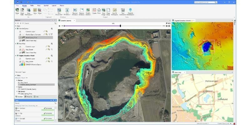
Precisely powers decision-making with critical location-based context in new MapInfo Pro release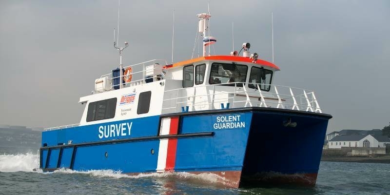
4th October 2021
AAE Technologies launches new product onboard Briggs’ Solent Guardian at OB21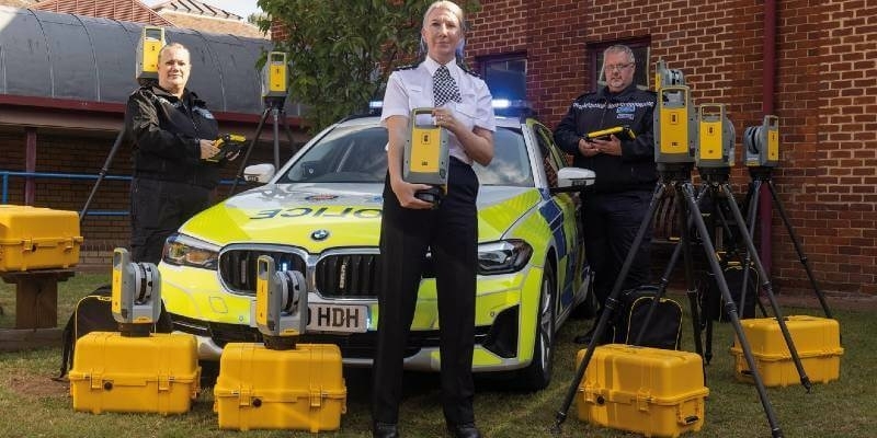
1st October 2021
Surrey Police and Sussex Police invest in Trimble X7 Laser Scanning technology
1st October 2021
Bellwether Industries to present its private urban aircraft demonstrator for the first time at DroneX
1st October 2021
Cadcorp expands fire service modelling expertise
30th September 2021
Bureau Veritas delivers Approval in Principle to DriX - an innovative Unmanned Surface Vessel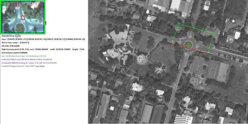
30th September 2021
ProTrack Will Launch "Locator" and "Flight" Software in the UK
30th September 2021
Space Tech Expo returns to Long Beach in 2021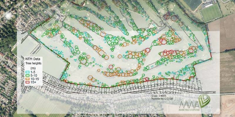
29th September 2021
MWA Arboriculture uses Bluesky National Tree Map for Tree Condition Surveys
29th September 2021
Celestia Technologies Group joins European move to unlock long-range drone potential