
AGI appoints Adam Burke as Council Chair
15th February 2022
AGI appoints Adam Burke as Council ChairNews as it happens! Keep in touch with the latest developments in business and technology in the regions or worldwide.
15th February 2022
AGI appoints Adam Burke as Council Chair
15th February 2022
Empowering chronic pain sufferers to reclaim their lives with technology
14th February 2022
1Spatial Listed in Top 100 Companies in Cambridgeshire League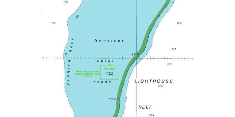
14th February 2022
UK Hydrographic Office supports maritime trade and economic growth in Belize
14th February 2022
Space marketing firm AstroAgency completes prestigious contract with the University of Edinburgh
11th February 2022
1Spatial continues optimising for secure data submission in the cloud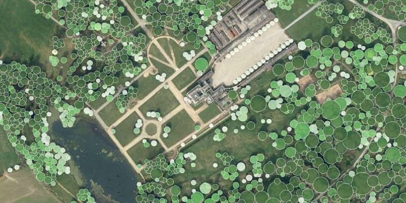
10th February 2022
Waterford City and County Council Use Bluesky National Tree Map Data to Support Carbon Neutral Plans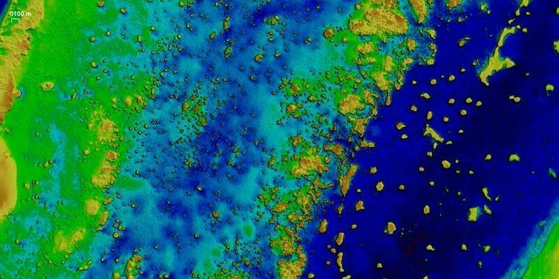
10th February 2022
EOMAP awarded new survey contract by UKHO
10th February 2022
Applanix Introduces Next-Generation OEM Solution for Mobile Mapping Applications Using GNSS-Inertial Technology
10th February 2022
Phase One Selects Globe Flight as Sales Partner for Drone Solutions in Germany and Austria
9th February 2022
Galileo SAR delivers the best performance since declared operational in December 2016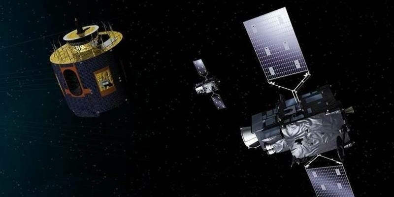
9th February 2022
Operational Optical Data Services for Meteosat Satellites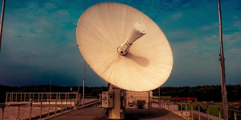
8th February 2022
European Space Imaging Renews Contract With Maxar Technologies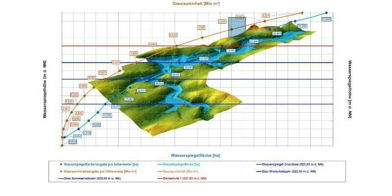
8th February 2022
High-precision 3D surveying of the Liebensteinspeicher reservoir
8th February 2022
Pulse-40: SBG Systems Introduces its First Tactical Grade IMU on the Market
8th February 2022
1Spatial awarded Global Top 100 Geospatial Companies 2022
7th February 2022
New 10-Centimeter Resolution Now Accessible with Stratospheric Balloons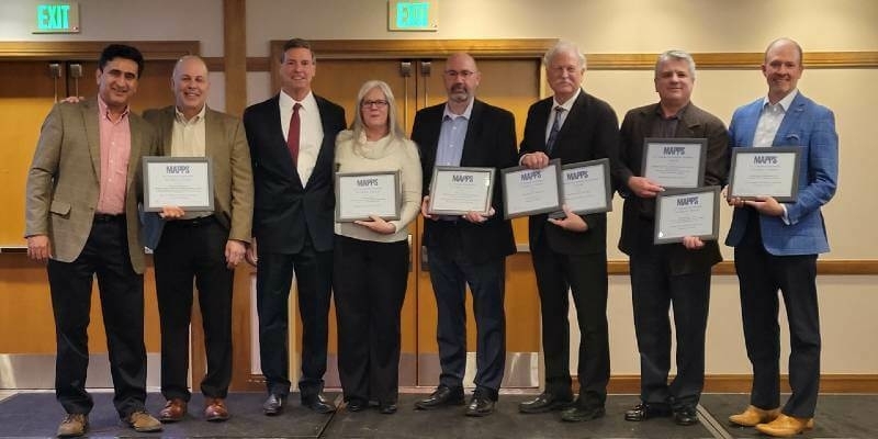
7th February 2022
MAPPS Presents the 2021 Geospatial Products and Services Excellence Awards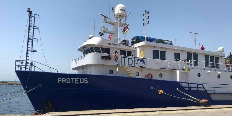
7th February 2022
TDI-Brooks Completes Geotechnical Programs In The Black Sea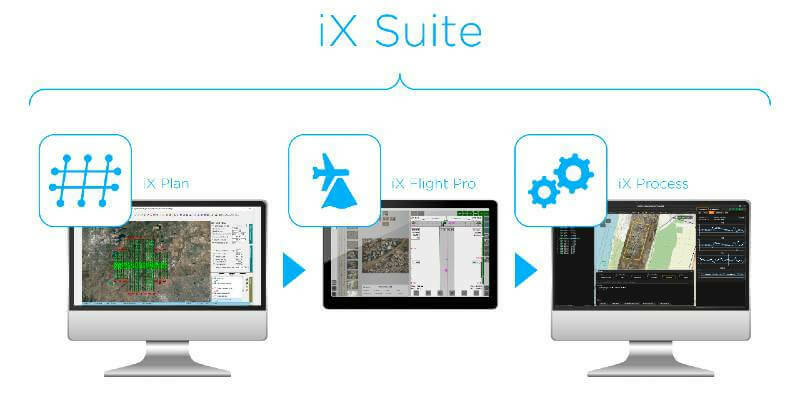
4th February 2022
Phase One Announces iX Suite for Seamless Aerial Mapping Workflow from Flight Planning to Image Delivery
4th February 2022
Dutch Ministry of Defence Deploys Globalstar SPOT Gen4 to Track and Provide Safety for Paratroopers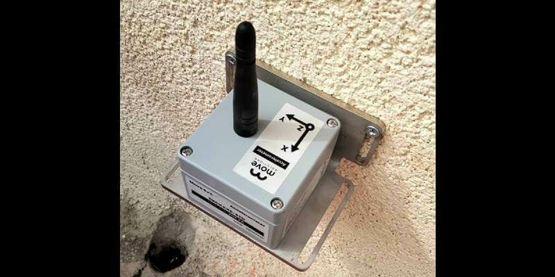
3rd February 2022
KOREC Group announces new partnership with Move Solutions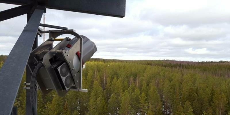
3rd February 2022
RIEGL VZ-2000i used for permanent forestry monitoring