
Key Reasons to Attend the 6th Annual Future Armoured Vehicles Weapon Systems Conference
28th April 2022
Key Reasons to Attend the 6th Annual Future Armoured Vehicles Weapon Systems ConferenceNews as it happens! Keep in touch with the latest developments in business and technology in the regions or worldwide.
28th April 2022
Key Reasons to Attend the 6th Annual Future Armoured Vehicles Weapon Systems Conference28th April 2022
Medium Format Cameras Used with SimActive Software to Minimize Mapping Costs

28th April 2022
USGIF Announces New Scholarships and a New Working Group Focused on Diversity, Inclusion, and Belonging
28th April 2022
Minerva mission begins as Samantha arrives at Space Station
28th April 2022
Bluesky International Excited for 2022 Flying Season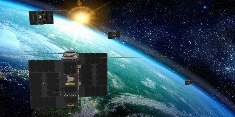
26th April 2022
Kleos announces new Mission-as-a-Service offering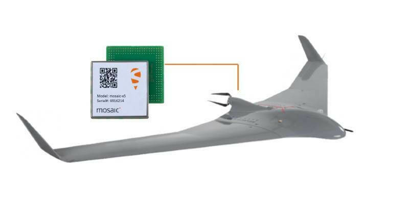
26th April 2022
Septentrio teams with MicroPilot, bringing top-performance GNSS positioning to UAVs
26th April 2022
OGC Seeks Public Comment on update to 3D Tiles Community Standard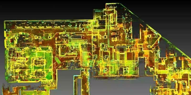
25th April 2022
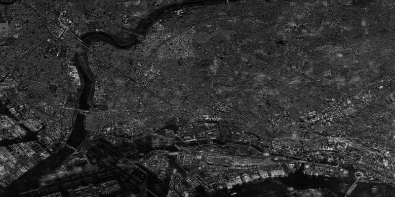
Synspective enters into contract for "demonstration project for expanding the use of small SAR satellite constellations" led by the Cabinet Office
25th April 2022
HERE powers BMW Maps with Predictive Routing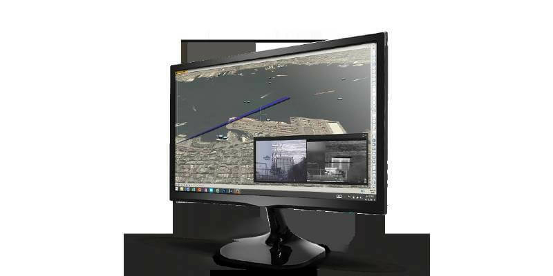
22nd April 2022
Teledyne FLIR helps to keep airspace surrounding Swedish critical infrastructure free of drones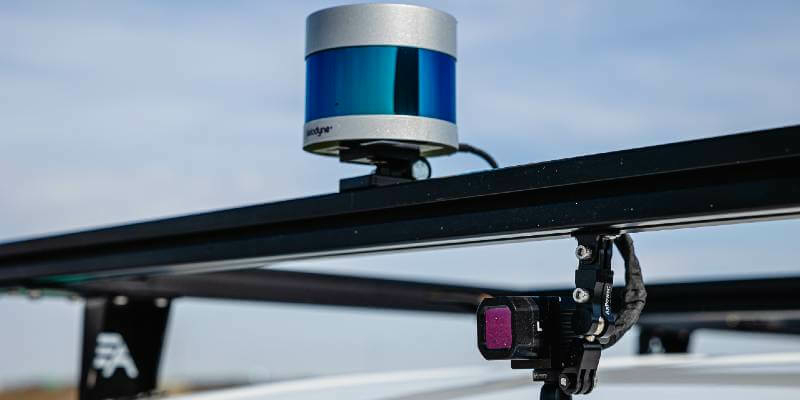
22nd April 2022
Accelerate development of autonomous vehicle projects through new by-wire platform from Hexagon | AutonomouStuff
21st April 2022
TRL Software Wins Key National Highways Contract to Replace Pavement Management System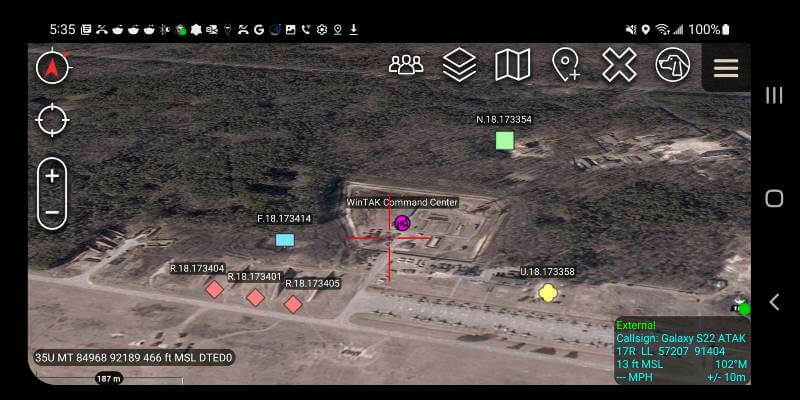
21st April 2022
PAR Government Teams Up with BlackSky to Deliver Commercial Near Real-Time Imagery to the Tactical Edge
21st April 2022
RIT Digital Imaging and Remote Sensing Lab teams with Rendered.ai to power synthetic data with high accuracy sensor simulation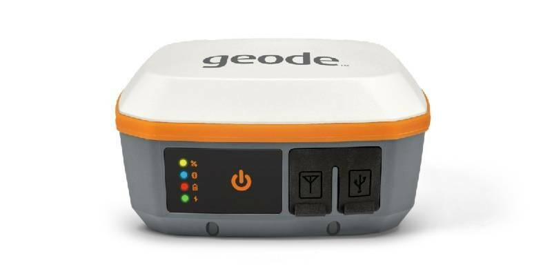
20th April 2022
Juniper Systems launches next-generation Geode GNS3 GNSS Receiver
20th April 2022
AsteRx-U3: ruggedized GNSS receiver for demanding applications
19th April 2022
UK space specialists hit new heights with ten contract wins
19th April 2022
CHC Navigation introduces the AlphaAir 1400 and AlphaAir 2400 Airborne LiDAR Series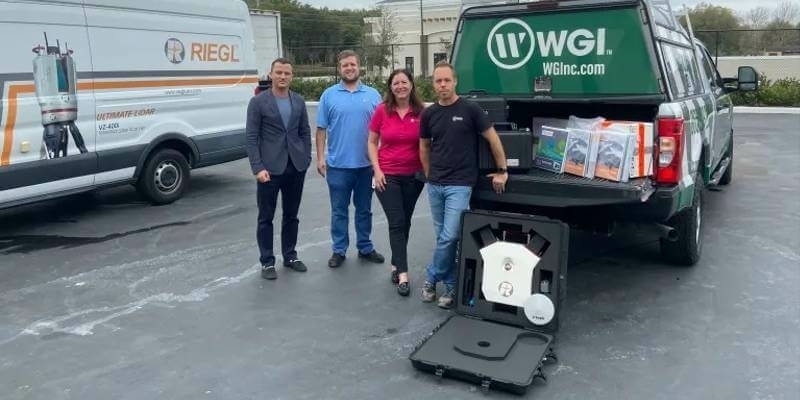
19th April 2022
RIEGL USA Continues to Provide Mobile LiDAR Solutions to WGI
14th April 2022
Esri UK's annual conference returns to London's QEII Centre after two virtual years
14th April 2022
NextGeo selected PanGeo SBI for further survey on Hollandse Kust West Beta (HKWb) routes for TenneT TSO