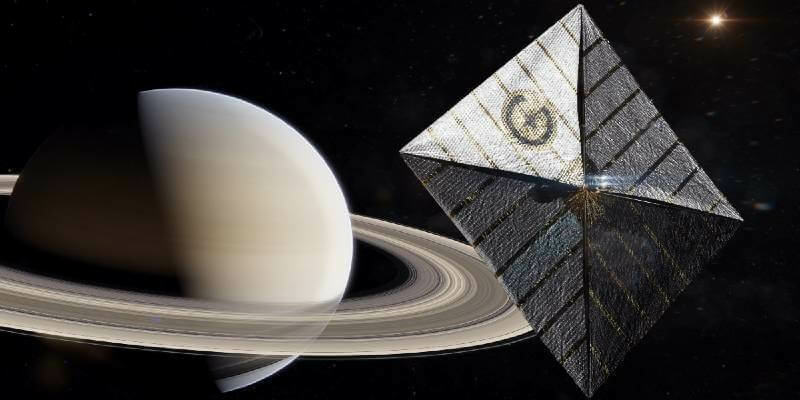
NanoAvionics and Gama to set sails in space
25th May 2022
NanoAvionics and Gama to set sails in spaceNews as it happens! Keep in touch with the latest developments in business and technology in the regions or worldwide.

25th May 2022
NanoAvionics and Gama to set sails in space

23rd May 2022
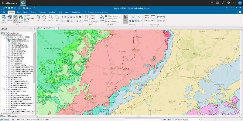
1Spatial unveils new Schema transformation capabilities for rules engine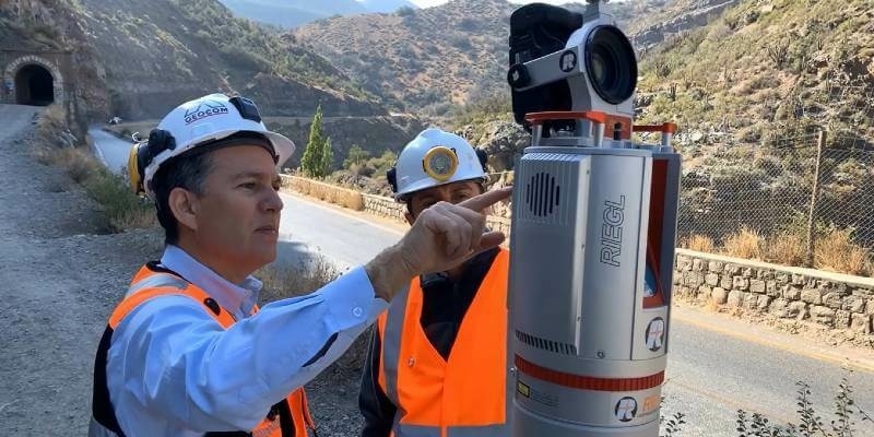

23rd May 2022
Topcon continues its commitment to Bridges to Prosperity, donates auto levels
23rd May 2022
1Spatial plc First contract with the State of New York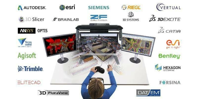
20th May 2022
Global market overview of stereoscopic software solutions
20th May 2022
Colourisation and immersive walkthroughs among major GeoSLAM updates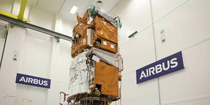
20th May 2022
Final Pléiades Neo satellites ready to join rest of family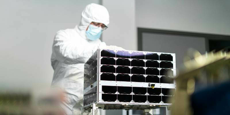
20th May 2022
Kongsberg Defence & Aerospace orders three surveillance satellites from NanoAvionics
19th May 2022
Phase One Announces Next-Generation Aerial Solutions Enhanced with Near Infrared Capabilities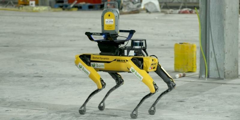
19th May 2022
5G Connectivity Helps Robot Become Construction’s Best Friend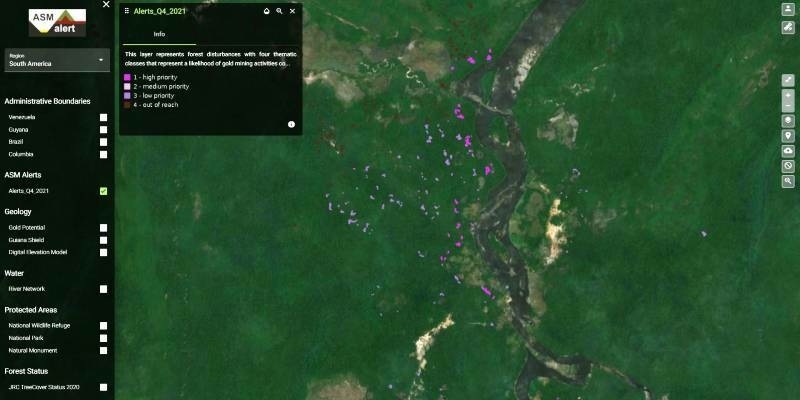
18th May 2022
Satellite data help to detect artisanal mining - GAF AG develops the “ASM Alert” web platform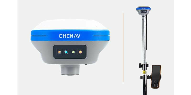
18th May 2022
CHC Navigation Introduces the i73+ Pocket-sized GNSS Base and Rover with Built-in UHF Modem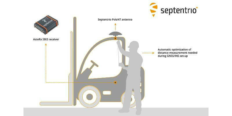
17th May 2022
Septentrio makes GNSS/INS integration easy and fast
17th May 2022
Prestigious nomination for KOREC CEO, Alan Browne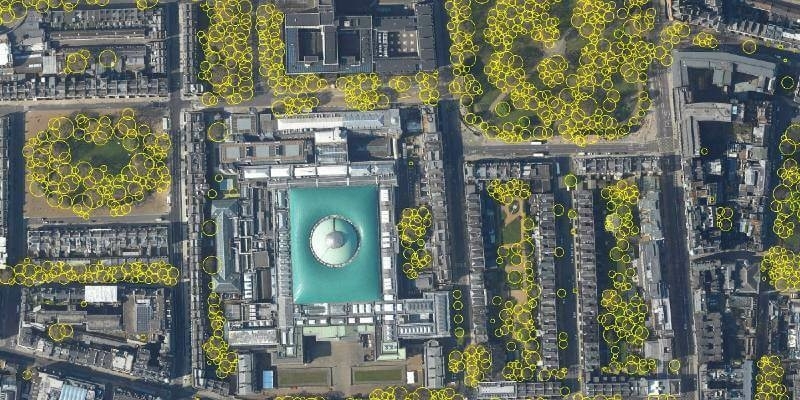
16th May 2022
Bluesky’s National Tree Map Helps Improve Biodiversity in London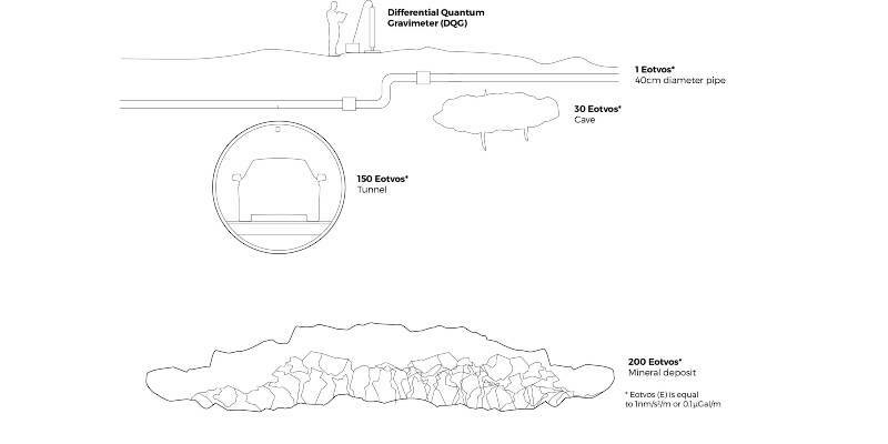
16th May 2022
iXblue introduces a new commercial quantum sensor for accurate underground mapping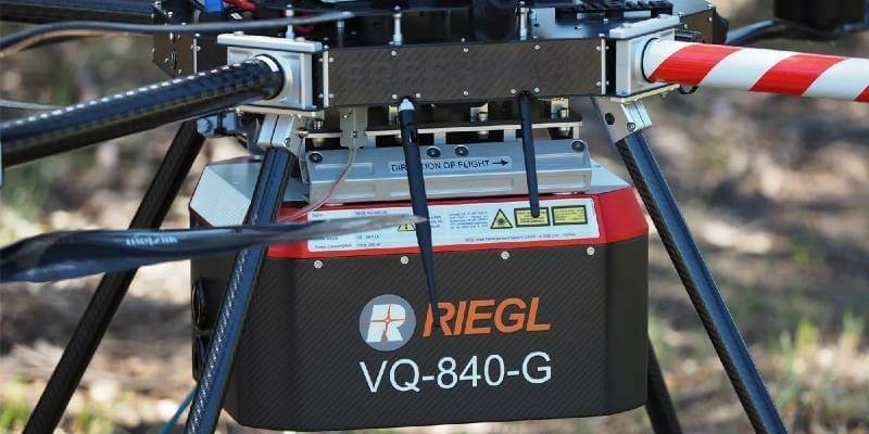
16th May 2022
Riegl Australia: Successful Integration Of The VQ-840-G Into Heavy-Lift Industrial Drone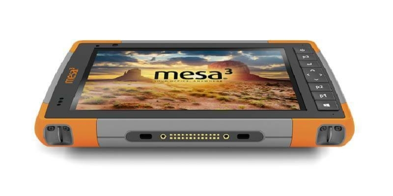
13th May 2022
Juniper Systems Limited Launches Android 11 Update for the Mesa 3 Rugged Tablet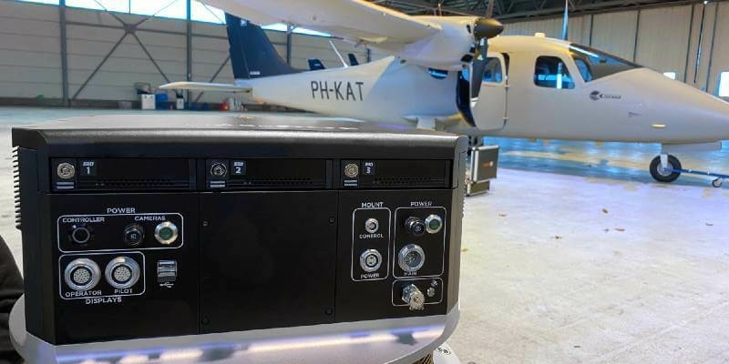
13th May 2022
Kavel 10 Aerial Mapping pioneers from the Netherlands chose Phase One PAS 880 system to improve productivity
13th May 2022
Report: Marine geospatial collaboration will reaffirm the UK’s role as a global leader in ocean science
12th May 2022
Interface between Vexcel's Adaptive Motion Compensation (AMC) and IGI’s AEROcontrol GNSS/IMU systems introduced