TCarta Opens Canadian Affiliate Office to Provide Hydrospatial Mapping Services Across Canada
7th June 2022
TCarta Opens Canadian Affiliate Office to Provide Hydrospatial Mapping Services Across CanadaNews as it happens! Keep in touch with the latest developments in business and technology in the regions or worldwide.
7th June 2022
TCarta Opens Canadian Affiliate Office to Provide Hydrospatial Mapping Services Across Canada
7th June 2022
Bedfordshire Fire and Rescue Service select Cadcorp GIS for customer insight project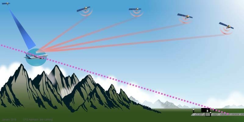
6th June 2022
Airbus extends Satellite Based Landing System (SLS) capability to A320 Family and delivers first aircraft to easyJet
6th June 2022
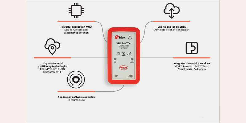
u-blox releases full-featured platform to test and validate IoT solutions
3rd June 2022
Septentrio showcases its latest anti-jamming and anti-spoofing GPS/GNSS tech at JNC
3rd June 2022
Interactive ‘now’ and ‘then’ London map shows how much the city has changed during Her Majesty The Queen’s 70-year reign
2nd June 2022
Memorandum of Understanding signed by Hexagon | NovAtel and Xona Space Systems for development of assured precision PNT technology with new LEO constellation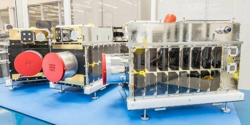
2nd June 2022
Six Microsatellites Built by Space Flight Laboratory (SFL) of Toronto Launched Aboard SpaceX Transporter-5 Mission
2nd June 2022
EUMETSAT’s Meteosat-9 satellite keeps a watchful eye on Indian Ocean weather
1st June 2022
Commercial UAV Expo Projects 200+ Exhibitors from Around the Globe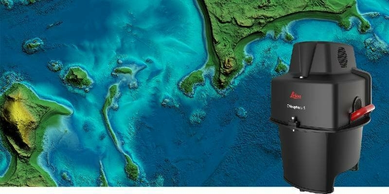
1st June 2022
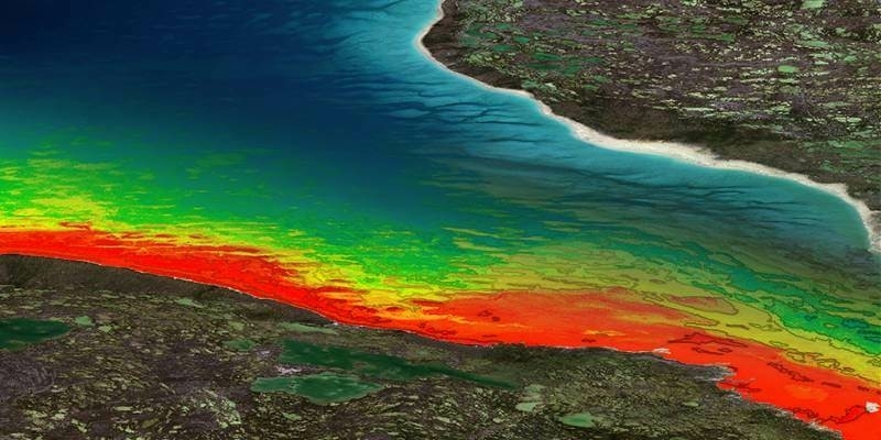
Leica Geosystems announces major performance increase in airborne bathymetric survey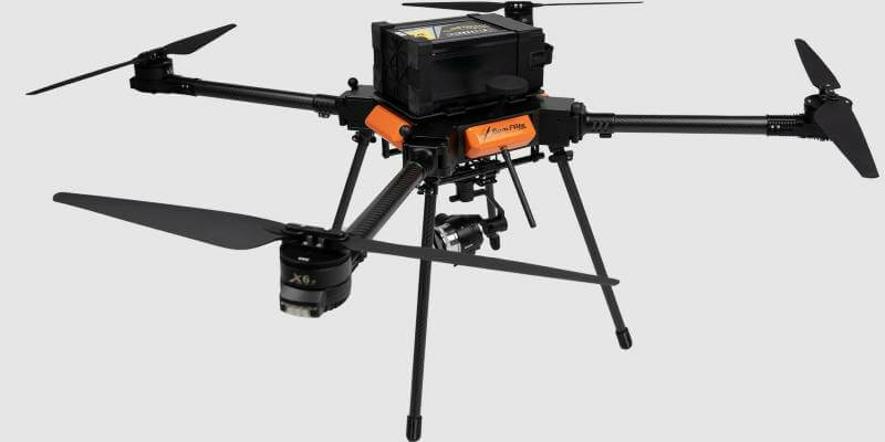
31st May 2022
CamFlite Introduces Most Advanced Drone Avionics To Product Range
31st May 2022
GEO Business 2022 marks huge growth in the geospatial profession
30th May 2022
Hawkeye 360 Launches Next-Generation Cluster 5 Satellites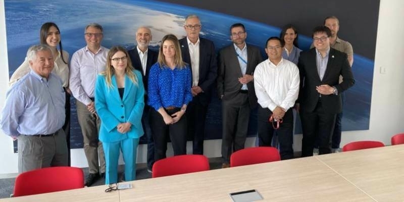
30th May 2022
OneWeb, Astroscale, and the UK and European Space Agencies partner to launch space junk servicer ELSA-M with €14.8 million investment
27th May 2022
Fugro’s lidar Geo-data supports OPW’s Irish coastal resilience strategies
27th May 2022
UAVOS Leverages Drones, Proprietary Software, and Digital Twins to Improve Service of Transmission Lines
26th May 2022
New Energy Performance Data in XMAP Helps Tackle Climate Change
26th May 2022
Trimble Introduces High-Accuracy OEM GNSS Receiver Module for Industrial Autonomy Applications
26th May 2022
OGC Seeks Public Comment on Standard for Encoding Linked Data Graphs in netCDF Files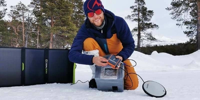
25th May 2022
Science meets adventure, on Nanok Arctic expedition
25th May 2022
Atmos integrates Topcon’s hardware and correction services to create an all-in-one surveying solution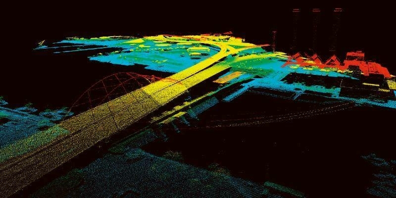
25th May 2022
Unique Integration of UltraCam Eagle and LiDAR Scanner by 95West