
RIEGL USA to Participate in a Plenary Panel at GeoBuiz 2025
14th January 2025
RIEGL USA to Participate in a Plenary Panel at GeoBuiz 2025News as it happens! Keep in touch with the latest developments in business and technology in the regions or worldwide.

14th January 2025
RIEGL USA to Participate in a Plenary Panel at GeoBuiz 2025
13th January 2025
Andrew Cawthorne Appointed as Managing Director
13th January 2025
KOREC Group expands survey portfolio with new DJI drone reseller agreement
9th January 2025
RIEGL USA to Exhibit Cutting-Edge LiDAR Technology at CES 2025
9th January 2025
Septentrio adds GEODNET to its Agnostic Corrections Partner Program
9th January 2025
Togg partners with HERE to deliver AI-powered, personalized driving with intelligent navigation and safety features
9th January 2025
Creaform Redefines Online Experience with a New Website
8th January 2025
Investment In Space-Comm Expo Set To Strengthen Uk Space Industry Events And Grow International Reach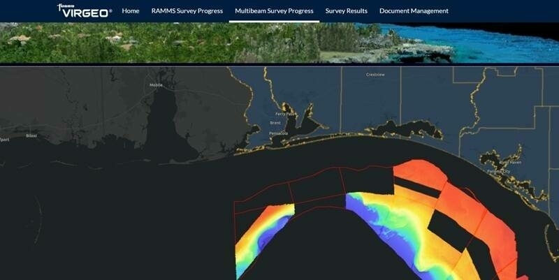
8th January 2025
Fugro leads large-scale seafloor mapping project to protect Florida’s coast
7th January 2025
Sygic GPS Navigation adopts innovative location technology what3words
7th January 2025
TomTom and Esri partner to deliver advanced location analytics
7th January 2025
Hexagon to acquire Septentrio, revolutionising positioning in mission-critical navigation and autonomy applications
26th December 2024
Growing traction for AI-powered applications in the Utilities sector
26th December 2024
Teledyne Space Imaging awarded Payload Contract for the CAS instrument on LISA, the ESA Space Observatory mission
17th December 2024
Deimos Joins GEORyder Consortium which develops Reusable Orbital Transfer Vehicle for geostationary orbits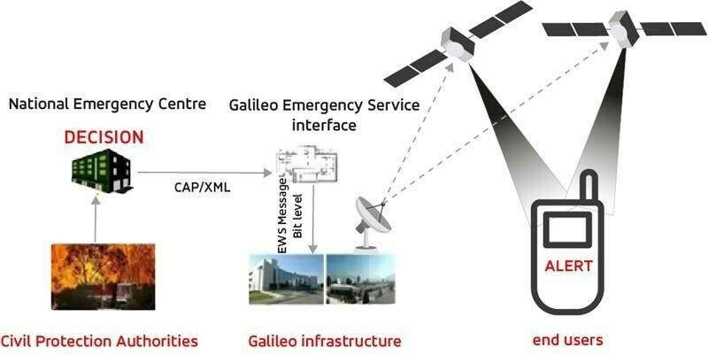
17th December 2024
EUSPA awards GMV the contract to develop Galileo's Emergency aid Satellite Services
13th December 2024
AGI Hails Annual GeoCom Conference a Huge Success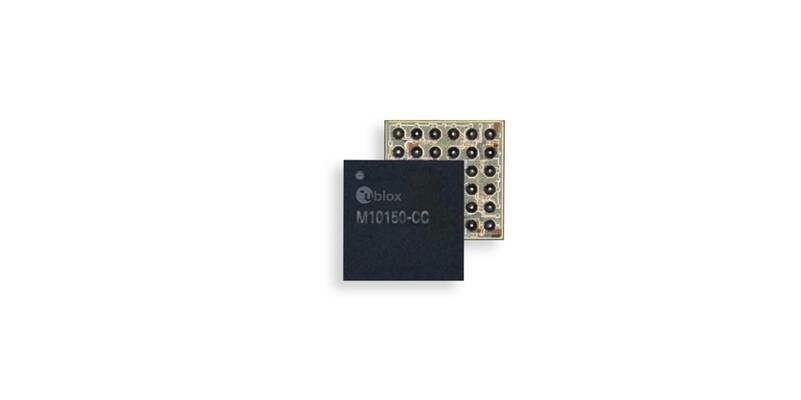
13th December 2024
u-blox launches new GNSS chip for wearable applications
12th December 2024
Woolpert Australia Enhances Their Survey Suite with RIEGL’s VZ-600i Laser Scanning Technology
12th December 2024
Viridien and TGS Complete Sleipner Ocean Bottom Node Survey, Delivering High-Resolution Data for North Sea Exploration
11th December 2024
Eclipse-making double satellite Proba-3 enters orbit
11th December 2024
STR gears up for growth after investment deal with Star Capital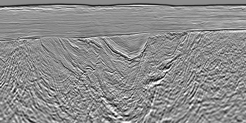
10th December 2024
Viridien completes seismic imaging of Selat Melaka 2D multi-client survey offshore Malaysia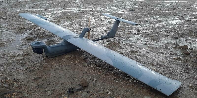
10th December 2024
BRIMAR-TEAR participates in Seeker UAS flights in adverse weather conditions