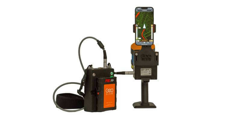
GeoSLAM adds real-time data capture feedback to ZEB Horizon
16th August 2022
GeoSLAM adds real-time data capture feedback to ZEB HorizonNews as it happens! Keep in touch with the latest developments in business and technology in the regions or worldwide.

16th August 2022
GeoSLAM adds real-time data capture feedback to ZEB Horizon
14th August 2022
SensorThings API Standards Working Group proposes work on new Citizen Science extension; public comment sought on updated charter

14th August 2022
Miros wins trio of sensor contracts with Subsea 7 pipelay support vessels
11th August 2022
Trimble RTX Integrity Validates Positioning Data Accuracy to Support Safety-Critical Applications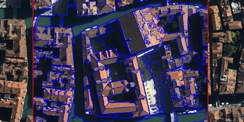
11th August 2022
UP42 Teams Up with Trimble for Faster Information Extraction from Geospatial Data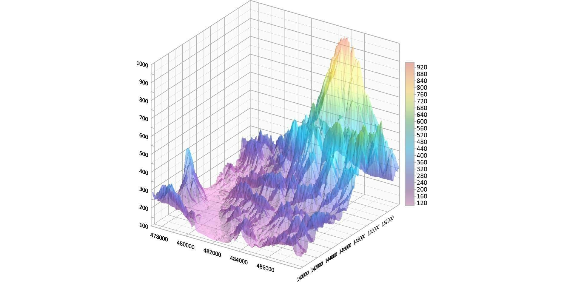
11th August 2022
Golden Software Enhances Grapher Package with Improved Axes, Plotting, and 3D Functionality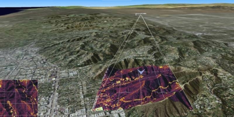
8th August 2022
Hexagon’s Luciad adopted by DTS as standard platform for developing new Chilean defense systems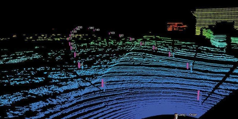
8th August 2022
RIEGL Contributed to Groundbreaking Multi-Enterprise LiDAR Benchmarking Study
3rd August 2022
Geneq Inc Announces the SXblue SMART, the newest addition to the GNSS smart antenna line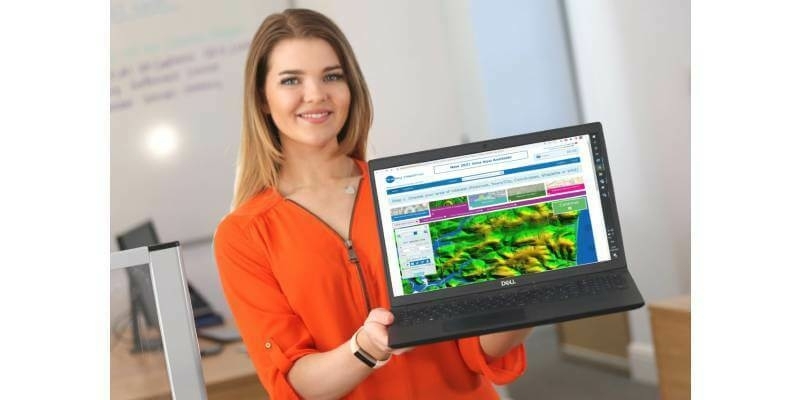
3rd August 2022
Bluesky Reveals Growing Appetite for Geospatial Data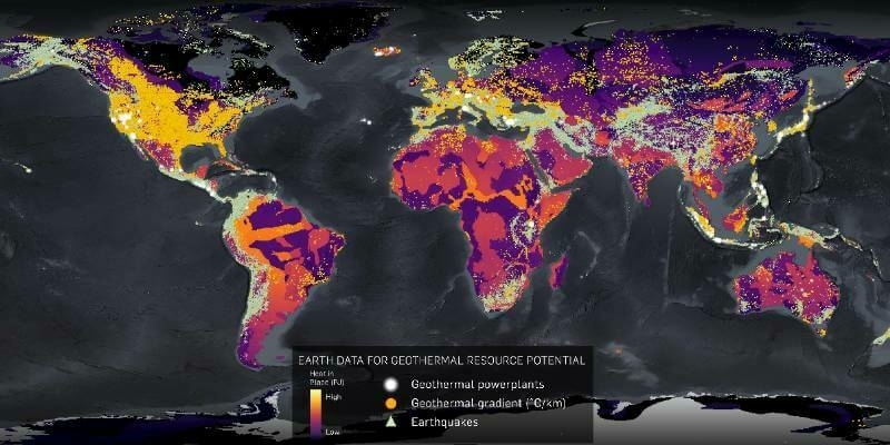
2nd August 2022
CGG Licenses Geothermal Multi-Client Studies Supporting Energy Transition to US Energy Company
2nd August 2022
1Spatial enhances survey capabilities in 1Edit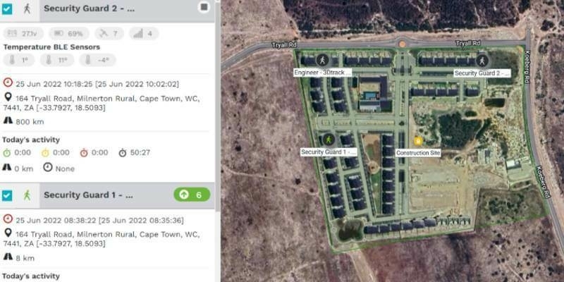
29th July 2022
3Dtracking Launches New Personal Tracking Solution
29th July 2022
Association for Geographic Information Announces GeoCom Speakers
29th July 2022
British Standards Institute (BSI) Awards Bluefield Geoservices ISO Certification
28th July 2022
Finding the optimum locations for EV charging stations
28th July 2022
SES and AXESS Networks to Enable Smart Mining with O3b mPOWER
27th July 2022
New Scanning And Imaging Solution From Trimble Simplifies 3D Deliverables
27th July 2022
Carter Jonas bolsters Geospatial team with senior appointments
26th July 2022
Fibre network designers, Jorvik Design Group, first in UK to invest in a KOREC supplied Trimble MX50 Mobile Mapping System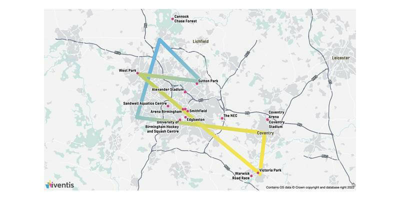
26th July 2022
Birmingham 2022 Commonwealth Games selects Iventis as official technology supplier
25th July 2022
Maxar’s High-Resolution Vivid Basemaps Enhances Esri ArcGIS Living Atlas of the World
25th July 2022
OGC Welcomes new Principal Member, the Saudi Arabia General Authority for Survey and Geospatial Information