
INTERGEO celebrates a successful comeback
21st October 2022
INTERGEO celebrates a successful comebackNews as it happens! Keep in touch with the latest developments in business and technology in the regions or worldwide.
21st October 2022
INTERGEO celebrates a successful comeback
20th October 2022
Speakers Announced for Benelux Infrastructure Forum 2022
20th October 2022
AsteRx SB3 family expands with dedicated base station receiver in a ruggedized enclosure
20th October 2022
Geo Week Announces Media Support for 2023 Event
20th October 2022
World Premiere INTERGEO 2022: The New RIEGL VZ-600i
19th October 2022
Bluesky International announced as supplier for new Ordnance Survey framework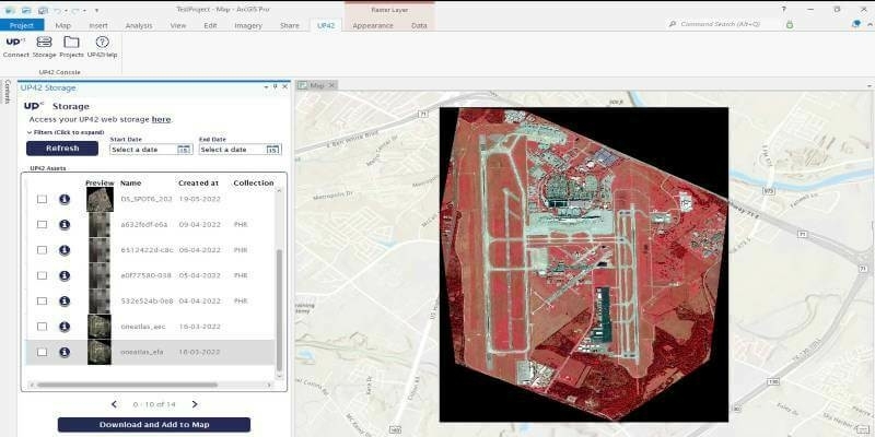
19th October 2022
UP42 Launches ArcGIS Pro Add-in as Part of Esri Partner Network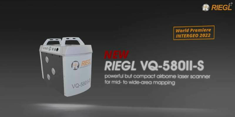
19th October 2022
RIEGL presents product innovations in all areas from terrestrial to airborne, from UAV-based to mobile laser scanning and bathymetry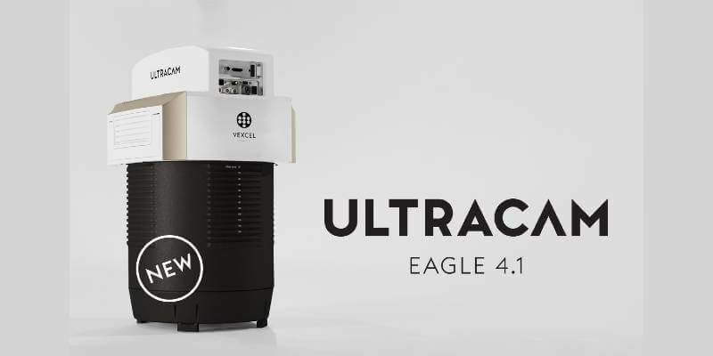
19th October 2022
Vexcel introduces new UltraCam Eagle 4.1 photogrammetric aerial camera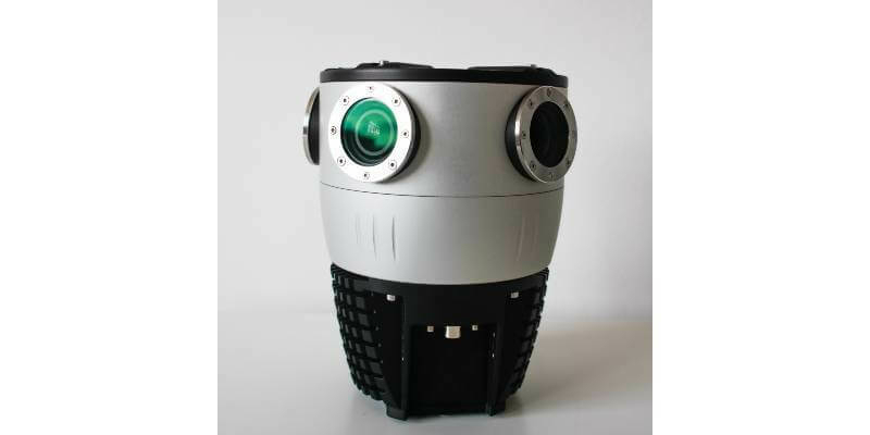
18th October 2022
Mosaic Announces Integration of High Resolution 360º Camera with Laser Scanning Solutions
18th October 2022
Vexcel Imaging unveils its new UltraNav version 7 including a new partnership with TopoFlight
18th October 2022
RIEGL OEM Partner Phoenix LiDAR Systems is the first to secure the purchase of the NEW VUX-160²³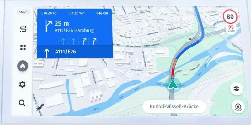
18th October 2022
Global automakers overwhelmingly select HERE to deliver drivers validated speed limit data across EU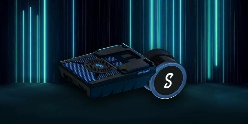
18th October 2022
Emesent launches three time saving products for geospatial professionals
17th October 2022
Cadcorp expands cloud options for desktop GIS, web mapping and spatial data in G-Cloud 13
17th October 2022
Intergeo 2022: The Power Of The 'Digital Twins' 3D Models Make The World Smarter
17th October 2022
EAASI joins the Private Sector Network of the UNGGIM
14th October 2022
New solution from Teledyne Geospatial delivers survey-grade lidar point clouds from UAV platforms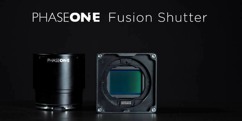
14th October 2022
Phase One Will Unveil Their Patent Pending Technology, Fusion Shutter, at the 2022 InterGeo
13th October 2022
New 1Integrate rules engine project with Environment Agency
13th October 2022
Topcon to exhibit latest surveying and digital workflow solutions at Intergeo 2022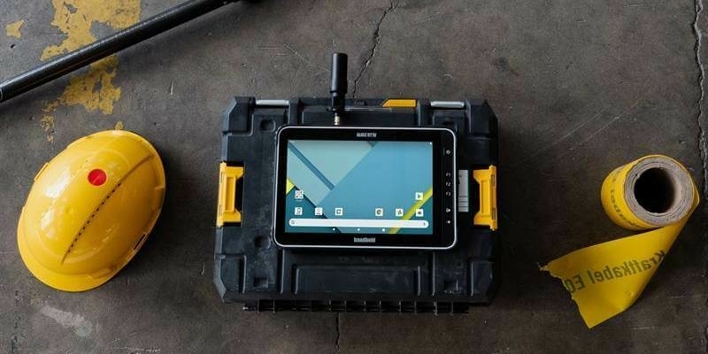
13th October 2022
Handheld launches Real Time Kinematic (RTK) options for rugged Android handhelds and tablets
12th October 2022
Terradepth to Showcase End-to-End Survey and Marine Data Management Solutions at OCEANS 2022 Conference