Presagis Teams with Kambill Systems to Provide Artificial Intelligence-Based Geospatial Services in Asia Pacific
15th November 2022
Presagis Teams with Kambill Systems to Provide Artificial Intelligence-Based Geospatial Services in Asia PacificNews as it happens! Keep in touch with the latest developments in business and technology in the regions or worldwide.

15th November 2022
Presagis Teams with Kambill Systems to Provide Artificial Intelligence-Based Geospatial Services in Asia Pacific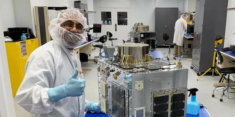
15th November 2022
Space Flight Laboratory (SFL) Awarded Development and Production Support Contract for 15 Additional HawkEye 360 Radio Frequency Geolocation Microsatellites
15th November 2022
Elbit Systems Awarded a $72 Million Contract to Supply Hermes 900 Unmanned Aircraft Systems to an International Customer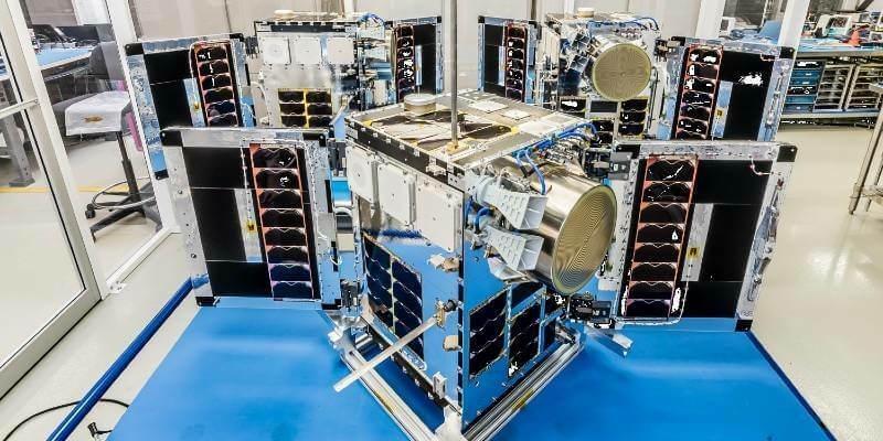
14th November 2022
HawkEye 360’s Cluster 6 Satellites to lift off this December from Rocket Lab’s New Launchpad in Virginia
14th November 2022
Hexagon’s R-evolution enables blue carbon credits for the world’s largest seagrass ecosystem
14th November 2022
VisionTrack Calls For Fleet Action To Eliminate Work-Related Road Deaths And Injuries
11th November 2022
SAE Media Group Announces Counter UAS Technology USA 2022 Participants
11th November 2022
Hexagon’s Leica BLK2FLY named one of TIME’s Best Inventions of 2022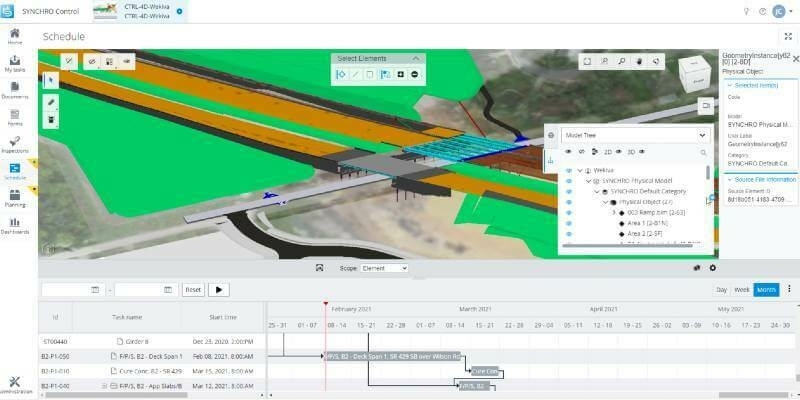
11th November 2022
Bentley Systems Enhances SYNCHRO Construction Management Solution with New Capabilities and Applications
11th November 2022
GMV, a key participant in technological innovation project for Maritime Rescue
10th November 2022
Ubotica and Open Cosmos Agree to Launch AI Centric Satellite
10th November 2022
Fugro teams with Septentrio and Meinberg to launch Fugro AtomiChron time synchronisation service
10th November 2022
FARO Zone 3D Forensic Scene Analysis Software Delivers New Photogrammetry Capabilities
9th November 2022
Intellian receives WGS Certification for the new NX PM VSAT terminal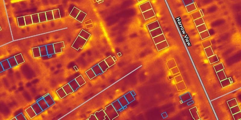
9th November 2022
Bluesky Aerial Thermal Surveys Show Heat-Loss from Homes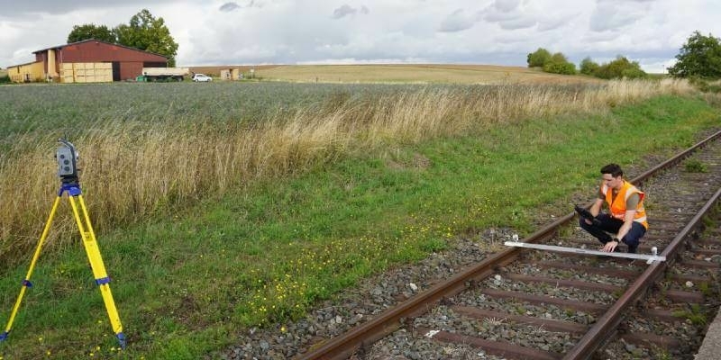
9th November 2022
Trimble Introduces Innovative Rail Module for Real-Time Monitoring Software
9th November 2022
Climate Change Monitoring: Cube4EnvSec Growing
9th November 2022
The all-new Mesa Pro Rugged Tablet by Juniper Systems is now available
9th November 2022
Open Maps For Europe wins BeGeo Best Project Award
8th November 2022
u-blox announces new, compact dual-band Wi-Fi and Bluetooth LE modules
8th November 2022
Septentrio showcases mosaic-T timing module at ITSF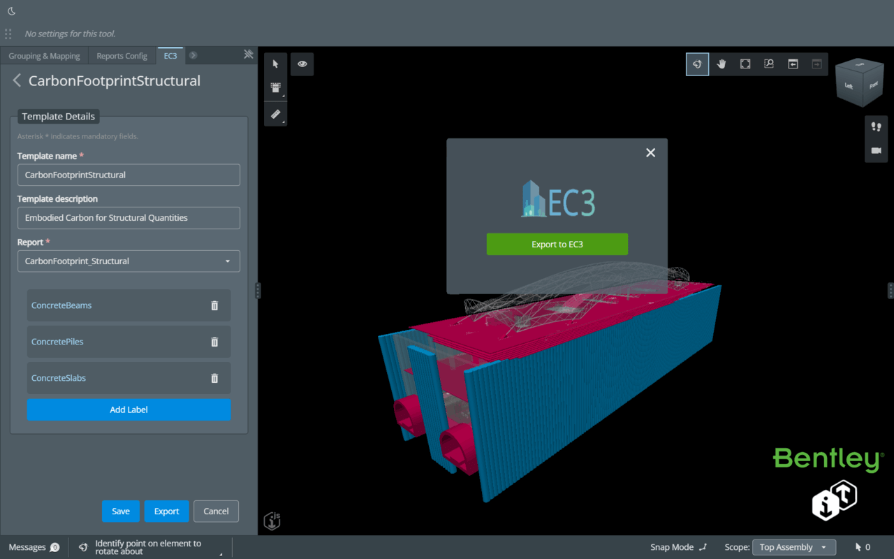
8th November 2022
Bentley Systems Announces Integration of EC3 with the Bentley iTwin Platform for Infrastructure Carbon Calculation
7th November 2022
Frontier Precision and Synspective Announce New Distribution Partnership for SAR Satellite-Based Geospatial Solution in North America