
Hexagon and Fujitsu support Stuttgart’s urban digital twin project
29th November 2022
Hexagon and Fujitsu support Stuttgart’s urban digital twin projectNews as it happens! Keep in touch with the latest developments in business and technology in the regions or worldwide.
29th November 2022
Hexagon and Fujitsu support Stuttgart’s urban digital twin project
29th November 2022
RiPROCESS version 1.9.3 is available now
28th November 2022
ArcGIS now hosts Road LiDAR data for public and private road management

25th November 2022
VisionTrack’s Simon Marsh Wins Great British Entrepreneur Award
25th November 2022
Munich Underground Network Deploys Landmark Sepura Radio in Germany
24th November 2022
Angus Council selects Cadcorp cloud hosted web GIS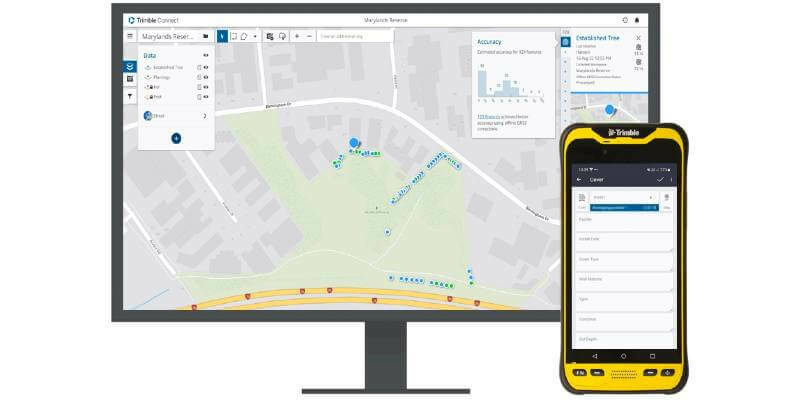
24th November 2022
New Trimble TerraFlex Software Edition Simplifies GIS Data Capture
24th November 2022
Esri UK provides mapping expertise for Department for Education’s major new climate project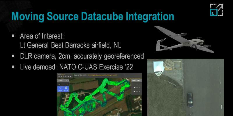
23rd November 2022
NATO C-UAS: Live drone image capture, analysis, and fusion23rd November 2022
World's first Roadmap for Space Sustainability launched on International Stage
23rd November 2022
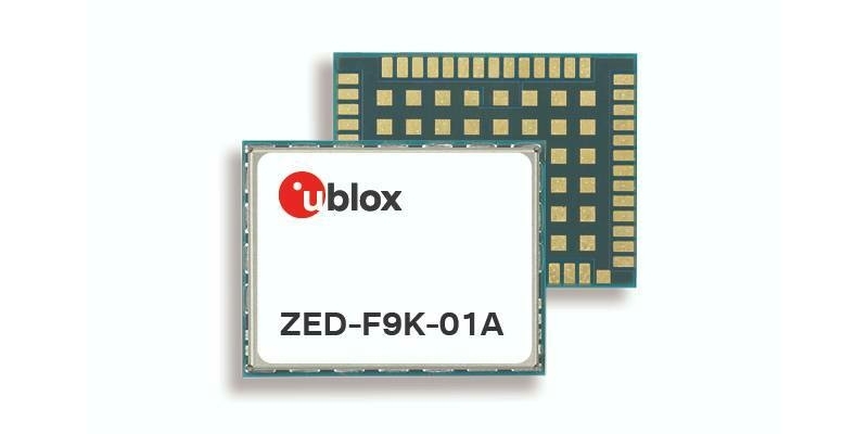
Newest u-blox automotive multi-band GNSS module enables ADAS applications up to 105 °C
22nd November 2022
OceanWise win contract to deliver servicing to Peel Ports Group via a Service Level Agreement
22nd November 2022
Sepura Selects Softil’s MCX Technology to Launch Next Generation First Responder Handheld, Vehicle Devices and Applications
21st November 2022
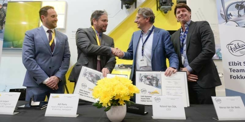
Elbit Systems Joins Forces with Fokker Services Group
21st November 2022
Swift Navigation Adds New Tiers and BeiDou Signal Support to Skylark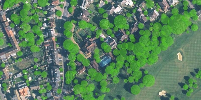
21st November 2022
Research Reveals How Trees Cover London’s Most Desirable Areas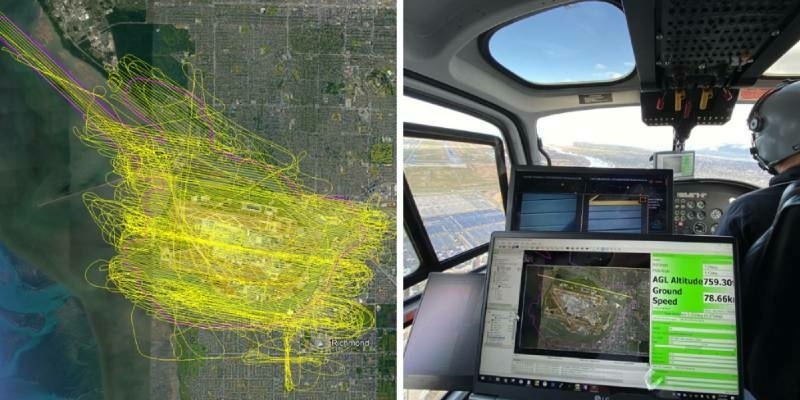
17th November 2022
Riegl Lidar Used In Award Winning Digital Twin Project At YVR Airport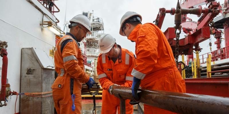
17th November 2022
Fugro awarded major offshore wind contract with Energinet to support Denmark’s renewable energy goals
16th November 2022
Teledyne Optech Galaxy T2000 mobilized for earthquake recovery and reconstruction effort in China
16th November 2022
Presagis Launches Cloud-Based VELOCITY 5D Digital Twin Production Platform
16th November 2022
Change in leadership at GAF AG – Dr Gernot Ramminger named new Managing Director