
Industry experts at Hexagon release updated third edition of An Introduction to GNSS book
29th March 2023
Industry experts at Hexagon release updated third edition of An Introduction to GNSS bookNews as it happens! Keep in touch with the latest developments in business and technology in the regions or worldwide.
29th March 2023
Industry experts at Hexagon release updated third edition of An Introduction to GNSS book29th March 2023
Project launched to prototype large-scale high-value pan-European datasets
29th March 2023
UP42 and Vexcel Team Up to Expand Aerial Imagery and Geospatial Data Portfolio on the Marketplace
28th March 2023
How Chip Design Systems Pushes FLIR Cameras Capabilities with their IR Projectors
28th March 2023
SecureForce Targets Fleet Safety Improvements With Inseego’s AI Dashcam
27th March 2023
Topcon acquires Digital Construction Works27th March 2023
New EU Report Stresses Importance of GNSS Alternatives for PNT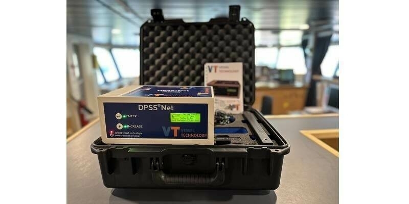
27th March 2023
Vessel Technology launches next generation of network storm testing
24th March 2023
Fugro partners with Australian Spatial Analytics for an inclusive workforce24th March 2023
Bluesky partners with SkyFi widens global access to aerial imagery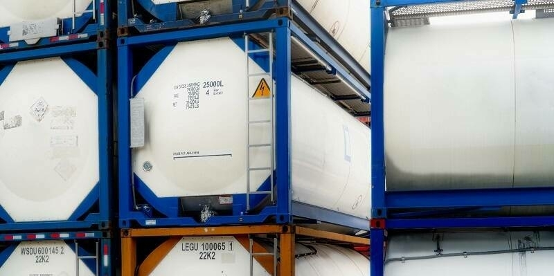
24th March 2023
Globalstar, Ovinto and Satellite IoT Support Clean Energy with Safe Worldwide Transport of Hazardous Gases23rd March 2023
NASH Maritime launches shipping constraints tool for offshore developers23rd March 2023
David Eagle joins Tensing as Director of Service Delivery
23rd March 2023
Ocean Business 2023 conference programme announced
22nd March 2023
SimActive Software Used to Accelerate Corridor Mapping22nd March 2023
Bentley Systems Announces Infrastructure Projects Achieve Measurable Results with LumenRT for NVIDIA Omniverse, Powered by iTwin21st March 2023
Spirit AeroSystems, Astraius join forces to boost UK launch ambitions21st March 2023
Australian Space Agency selects Fugro-led AROSE consortium for lunar rover mission21st March 2023
u-blox and GMV Join Forces to Deliver Cutting-Edge Safe Positioning Solutions for Automotive Applications17th March 2023
Cardiff Council Addresses Flood Risk Using Bluesky National Tree Map17th March 2023
UAVOS Used Borey Fixed-Wing Drone for Soil Moisture Mapping16th March 2023
Leica Geosystems and Xwatch Safety Solutions pioneer 3D Avoidance Zone system for construction sites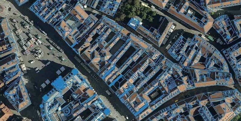
16th March 2023
Eurosense relies on Vexcel Imaging and RhinoTerrain to generate watertight and textured LOD 2 city models