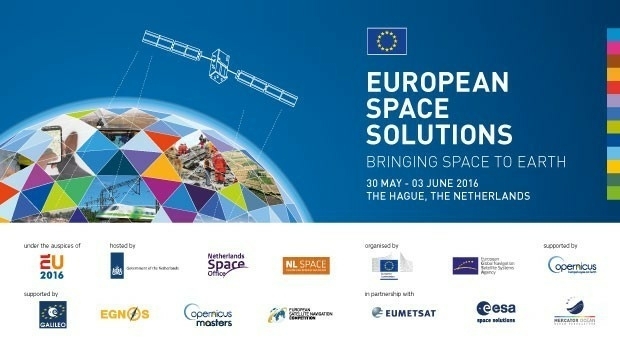
Space solutions for climate change and the environment: 1-day workshop
19th April 2016
Space solutions for climate change and the environment: 1-day workshopNews as it happens! Keep in touch with the latest developments in business and technology in the regions or worldwide.

19th April 2016
Space solutions for climate change and the environment: 1-day workshop
19th April 2016
Southern Africa Energy & Infrastructure Summit
19th April 2016
Over 50% off Trimble Business Center. It’s a Big Deal.18th April 2016
Learn to Extend Esri ArcGIS Pro Functionality with Add-ins18th April 2016
Final Stage of SPOT Gen3® Messenger Rollout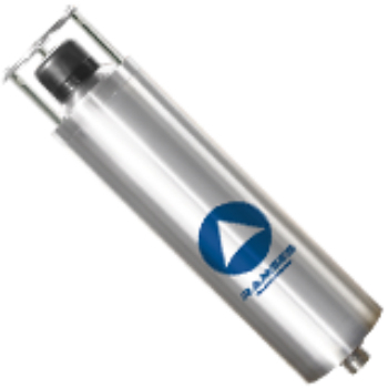
18th April 2016
With iXBlue, the future of positioning is now18th April 2016
Emapsite launches postcode-level UK windstorm peril model18th April 2016
Yotta Heralds European Expansion with Raft of New Appointments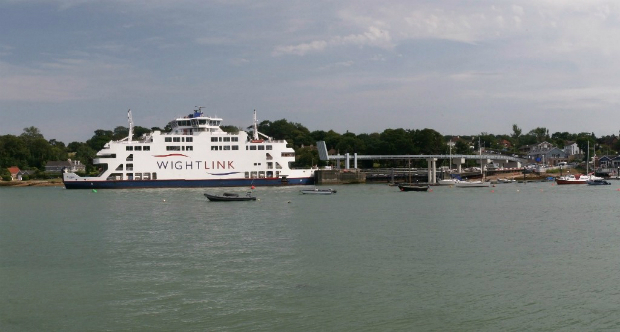
18th April 2016
ABPmer delighted with Fishbourne ferry terminal planning permission
18th April 2016
Key DP Documents Revised and Published by IMCA
18th April 2016
NEW! PrimeScan: Entry-level solution for precise 3D digitization3.jpg)
18th April 2016
Hexagon Geospatial Releases Power Portfolio 2016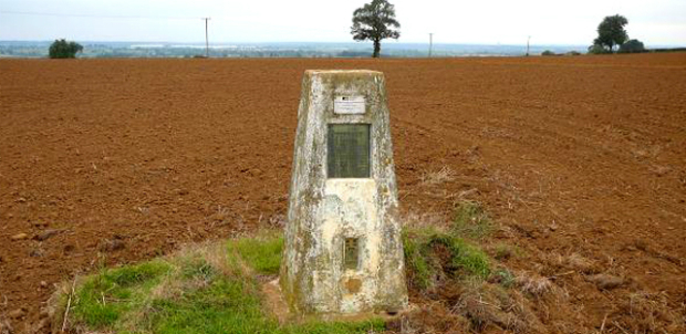
18th April 2016
MapAction mobilises humanitarian mapping team for Ecuador earthquake
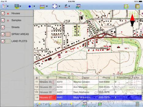

15th April 2016
Topcon demonstrates Smart Working Tech at Geo Business
15th April 2016
eeGeo Joins the Cisco Solution Partner Program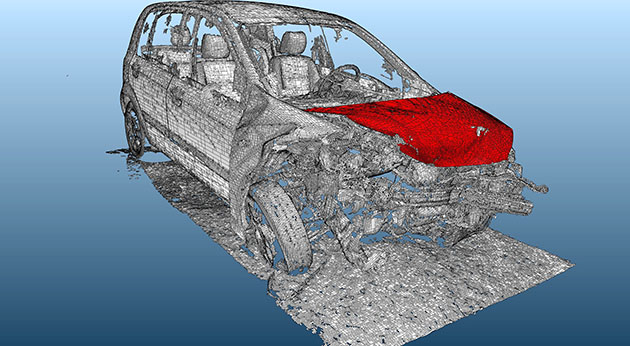
15th April 2016
Arithmetica reveals 360 imaging and 3D laser modeling tech at Forensics Europe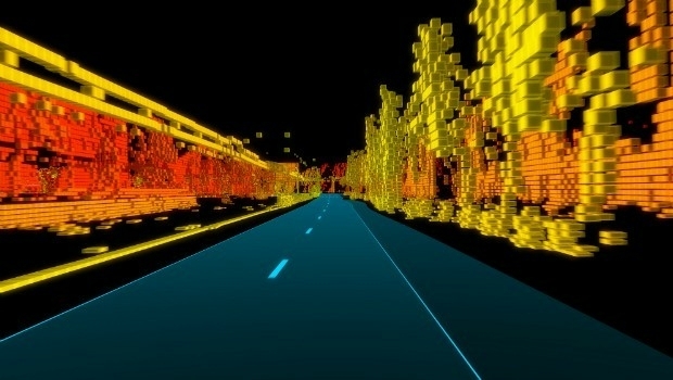
15th April 2016
TomTom and PSA Group Drive EU Ministers in Autonomous Vehicles
15th April 2016
Renishaw welcomes Measutronics Corporation to its distributor network15th April 2016
DigitalGlobe Delivers First Phase of Mapping Initiative for Australia14th April 2016
Eight new custom fleet management reports now available