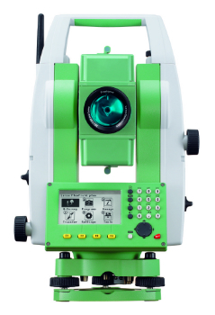
Setting the Standard for Survey Equipment Hire
21st April 2016
Setting the Standard for Survey Equipment HireNews as it happens! Keep in touch with the latest developments in business and technology in the regions or worldwide.

21st April 2016
Setting the Standard for Survey Equipment Hire
21st April 2016
Toughest mountain bike race selects SPOT Gen321st April 2016
Smart Parking Qatar 2016 successfully launched
21st April 2016
Leica Geosystems wins 2 Red Dot Design Awards21st April 2016
Program Details Announced for 2016 URISA GIS and Health Symposium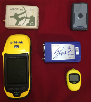
20th April 2016
Anatum Field Evaluation of Bluetooth GNSS Receivers20th April 2016
GSDI 15 Conference - Call for Abstracts Deadline 1 May 201620th April 2016
Win a Steve Backshall school visit with #wildlifemap competition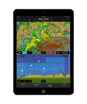
20th April 2016
Garmin® introduces major enhancements to Garmin Pilot™20th April 2016
Global maps from Europa helps to define no-fly zones for drones20th April 2016
MicroPilot Selects Spirent GNSS Simulators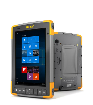
20th April 2016
Mesa 2 Rugged Windows Tablet is Now Shipping20th April 2016
Trimble Announces Call for Speakers for its 2016 Dimensions User Conference20th April 2016
Geotab's new personalized customer support for telematics20th April 2016
Unlocking Unlimited Potential for Utilities
19th April 2016
OneWeb Satellites completes its industrial organization
19th April 2016
Orbit GT and Topcon Positioning MEA, UAE, sign reseller agreement19th April 2016
Yotta Helps Wigan Council Optimise Highways Asset Management19th April 2016
MobileMapper 300 Now Driven by DigiTerra Explorer v719th April 2016
South Australia Water Ensures Customer Supply using Bentley's Amulet19th April 2016
Esri UK Receives Prestigious Geographical Association Publishers Award19th April 2016
Novacavi engineered hybrid cable for optical transmission systems19th April 2016
European retail in 2016: Slow but real-value growth