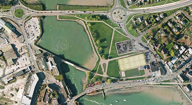
Bluesky Aerial Photomap Definitive Information Resource for Irish Council
27th April 2016
Bluesky Aerial Photomap Definitive Information Resource for Irish CouncilNews as it happens! Keep in touch with the latest developments in business and technology in the regions or worldwide.

27th April 2016
Bluesky Aerial Photomap Definitive Information Resource for Irish Council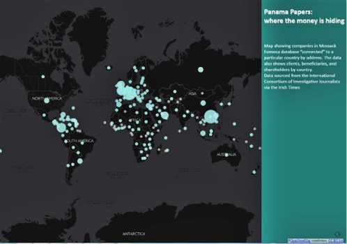
27th April 2016
Latest SuperGIS Desktop 3.3 Is Now Available!
27th April 2016
Local Community in France Selects SuperPad for River Management
27th April 2016
SuperSurv Assists the Bird Survey in France
27th April 2016
Call for Speakers for North America’s Largest Commercial Drone Show
27th April 2016
GEOMAKANI 2016 “2nd Geospatial Technologies Conference”
27th April 2016
Esri Announces Winners of the Visualize Your Water Quality Challenge27th April 2016
RAC’s New Canadian Rail Portal is powered by K2 Geospatial’s JMap


26th April 2016
GeoDATA 2016 Liverpool - last chance to register26th April 2016
New Mexico Chooses Hexagon Safety & Infrastructure26th April 2016
HERE Traffic improves ETA in latest Telogis Navigation26th April 2016
Ordnance Survey staff raise over £25,000 for Holding Little Hands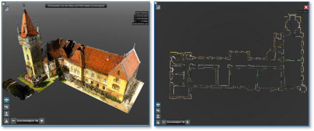
26th April 2016
Announcing Euclideon Geoverse 1.4 Including Autocad® Support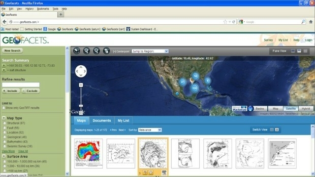
26th April 2016
Elsevier and Schlumberger Integrate Partnership Further
26th April 2016
Leica Geosystems delivers 10th DMC III aerial camera
26th April 2016
BaSYS User Conference: A valuable benefit to every user!
26th April 2016
Sentinel-1B on its way to complete Europe´s “Radar Vision”26th April 2016
Sentinel-1B launched to complete radar pair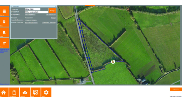
26th April 2016
KOREC partners with Cadcorp to integrate field data capture26th April 2016
Juniper Unmanned and Pulse Aerospace Announce Business Partnership