
Award for the Esri Conservation Program Director
5th May 2016
Award for the Esri Conservation Program DirectorNews as it happens! Keep in touch with the latest developments in business and technology in the regions or worldwide.
5th May 2016
Award for the Esri Conservation Program Director
5th May 2016
Aerial Mapping Company Bluesky Announces Expansion
5th May 2016
National Mall Employs HighTech Surveying for 21st-Century Preservation
5th May 2016
Senceive Making Waves In Wireless Monitoring
5th May 2016
Take Note of Recent Changes to Insurance Law, Urged by UAVAir5th May 2016
Hemisphere GNSS Announces Management Changes

5th May 2016
New Esri Workbook for Basic Mapmaking and Spatial Analysis Techniques
4th May 2016
VerifEye Technologies Amovi VOC Camera now available with Geotab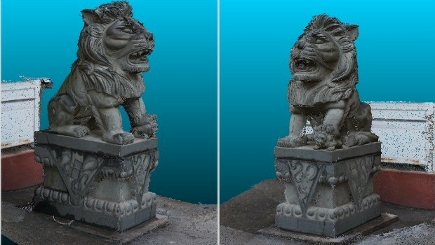
4th May 2016
eyesMap3D: The most accurate and powerful 3D photo modeling software4th May 2016
Airbus and Hexagon Geospatial Sign Content Agreement for Smart M.App
4th May 2016
Masternaut launches telematics module that spots vehicle faults
4th May 2016
Leica releases new calibration system for value-added service4th May 2016
Partner: Aligned Assets Introduces what3words into Gazetteer Products4th May 2016
ABPmer reviews MMO's marine information system

4th May 2016
Elbit Systems’ BrightNite™ Performs Successful Demonstration Flights


4th May 2016
GeoPlace announces the winners of the 2016 Exemplar Awards3rd May 2016
OGC requests comment for Land Administration Domain Working Group