
Itron Brings Analytic Outcomes as a Service to Utilities
12th May 2016
Itron Brings Analytic Outcomes as a Service to UtilitiesNews as it happens! Keep in touch with the latest developments in business and technology in the regions or worldwide.
12th May 2016
Itron Brings Analytic Outcomes as a Service to Utilities
12th May 2016
NM Group collaborate with Harris Corporation

12th May 2016
A GeoPlace commissioned study projects net benefits up to £202 million
12th May 2016
David Lloyd wins Peer Award at GeoPlace Exemplar Awards
11th May 2016
UAVAir train candidates for better standard of drone pilot graduates11th May 2016
OGC adopts WaterML2.0 Part 2 - Ratings, Gaugings and Sections Standard11th May 2016
Ordnance Survey select Solent Mind as new corporate charity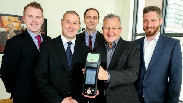
11th May 2016
Esri Ireland & Leica put accuracy into the hands of field workers11th May 2016
Integration of Orion’s European Service Module
11th May 2016
Hyperspectral Imaging and Applications | HSI 2016 Announcement
11th May 2016
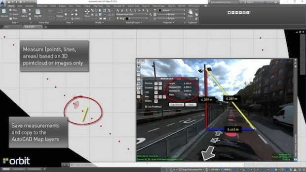
Orbit GT launches AutoCAD MAP plugin for Mobile Mapping

11th May 2016
The AgriFutureDays have been initiated by the Club of Ossiach
11th May 2016
GSDI 15 World Conference: Greg Scott joins keynote speaker lineup
11th May 2016
‘Big Data’ issues to be discussed at GLIS 2016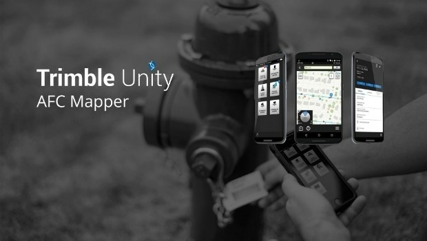
11th May 2016
Trimble Free App for AMERICAN Flow Control Water Valves and Hydrants
11th May 2016
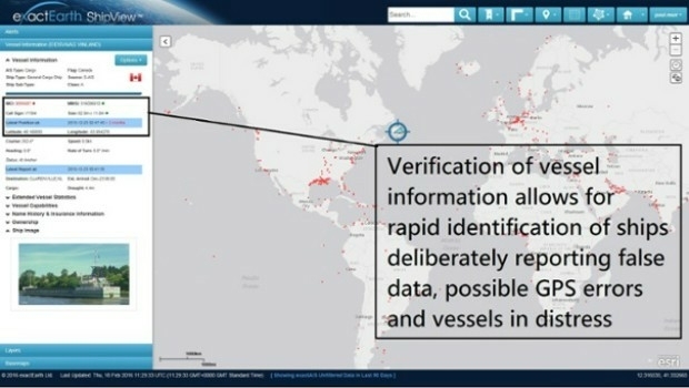
Knowledge is Power- exactEarth Announces Vital New Information Service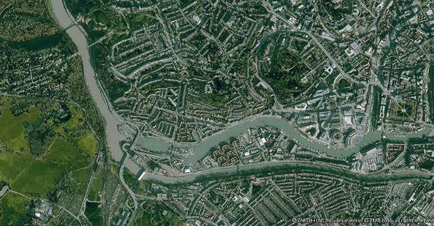
10th May 2016
Earth-i Takes the Best of British to Geospatial World Forum