
Plowman Craven launches inspection business to enhance client offering
18th February 2025
Plowman Craven launches inspection business to enhance client offeringNews as it happens! Keep in touch with the latest developments in business and technology in the regions or worldwide.
18th February 2025
Plowman Craven launches inspection business to enhance client offering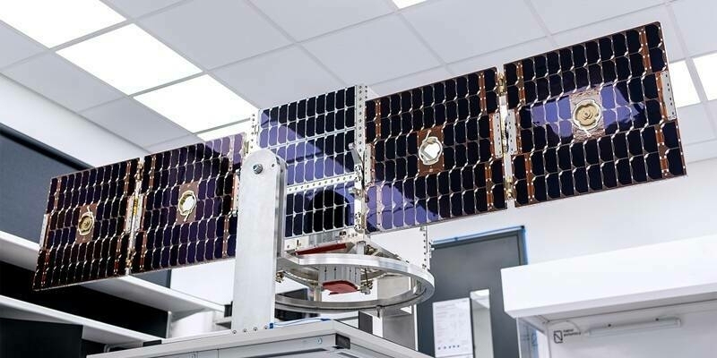
18th February 2025
SuperSharp and NanoAvionics to partner on a disruptive Thermal InfraRed (TIR) imaging satellite
17th February 2025
Telematics Innovation Boosts UK Growth For Queclink
17th February 2025
FREQUENTIS LifeX Software goes Asia: FREQUENTIS advances Malaysia’s emergency response with NG999 project
17th February 2025
Topcon and Pix4D collaborate to advance photogrammetry solutions
14th February 2025
Do Larger Format Sensors Increase Mapping Productivity?
14th February 2025
Eos Positioning Systems Unveils New Eco-Friendly Carrying Cases for Certain Skadi GNSS Receivers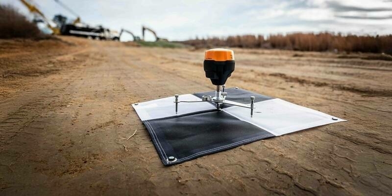
14th February 2025
Emlid adds high precision to WingtraGROUND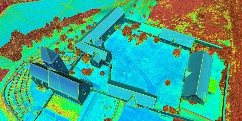
13th February 2025
RIEGL @ AUVSI XPONENTIAL Europe in Düsseldorf, Germany
13th February 2025
MINEYE, a European Project Based on Earth Observation for Sustainable Mining (with SPACEBEL Participation)
13th February 2025
Ocean Business announces exhibitor list for 2025 show
11th February 2025
RIEGL UK to host Heritage Geospatial Symposium in York
11th February 2025
Space-Comm Expo confirms Dr Josef Aschbacher and Sir Richard Branson
10th February 2025
SFL Missions Inc. Awarded Canadian Space Agency Contract for HAWC Satellite Mission Conceptual Design Study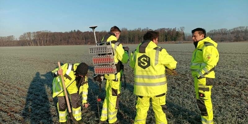
10th February 2025
Smart Seismic Solutions to deliver CarbonCuts onshore CO2 storage seismic survey using STRYDE
10th February 2025
Cadcorp provides GIS with integrated emergency services applications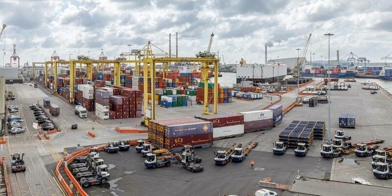
10th February 2025
Doyle Shipping Group Extends Camera Telematics Partnership After Safety Improvements At Dublin Port
6th February 2025
Fugro acquires EOMAP, adding unique satellite analytics to its water market solutions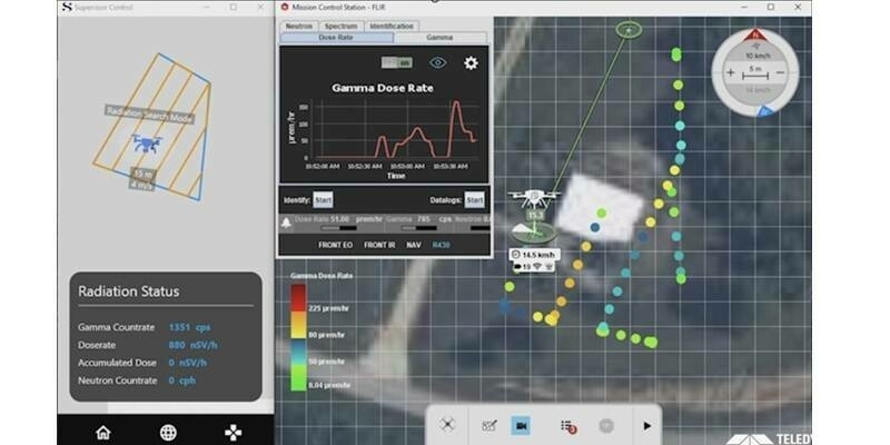
5th February 2025
Teledyne FLIR Launches Prism Supervisor Software, Enhances UAS Autonomous Capabilities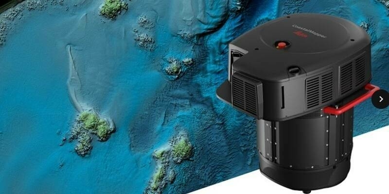
5th February 2025
New Leica CoastalMapper LiDAR sensor significantly speeds up airborne bathymetric mapping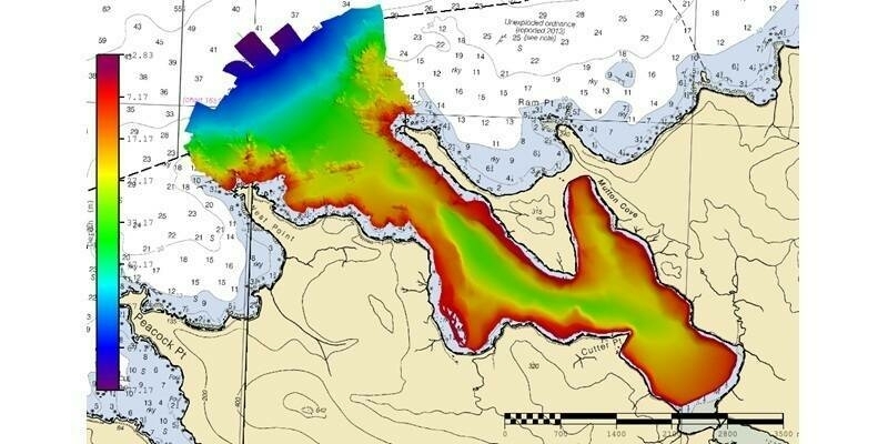
4th February 2025
Fugro secures new NOAA contract to support U.S. maritime safety
4th February 2025
Synspective is Selected for METI's Global South Co-Creation Subsidy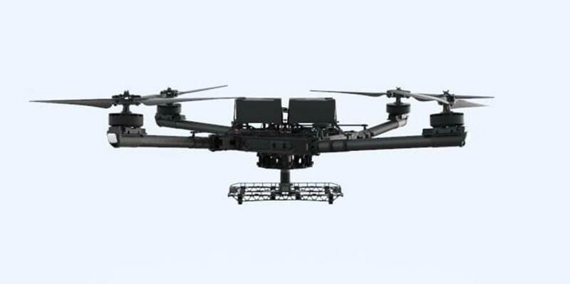
4th February 2025
Pix4D and Freefly Systems announce partnership to deliver a groundbreaking drone-to-data workflow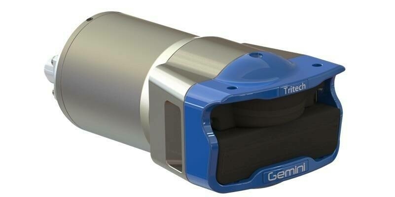
3rd February 2025
Tritech Announces Launch of New Gemini 1200id