Immersal Visual Positioning System (VPS) creates AR experiences on top of Nokia 5G network at Nokia Arena
16th May 2023
Immersal Visual Positioning System (VPS) creates AR experiences on top of Nokia 5G network at Nokia ArenaNews as it happens! Keep in touch with the latest developments in business and technology in the regions or worldwide.

16th May 2023
Immersal Visual Positioning System (VPS) creates AR experiences on top of Nokia 5G network at Nokia Arena
16th May 2023
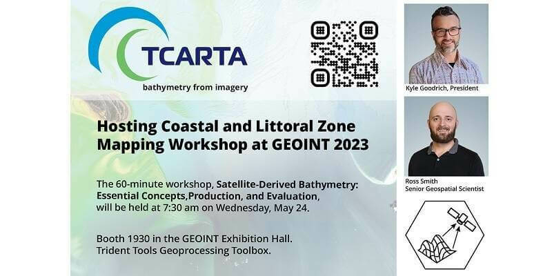
TCarta Hosting Coastal and Littoral Zone Mapping Workshop at GEOINT 2023
15th May 2023
How To Meet Photogrammetric Accuracy Standards
15th May 2023
National Oceanography Centre announces new appointment to transform its research strategy12th May 2023
EAASI leads discussions on the use of aerial surveying data at GWF 202312th May 2023
Airbus selects UK National Satellite Test Facility for SKYNET 6A testing11th May 2023
Hexagon to create Spain’s first digital twin for Campo de Cartagena11th May 2023
Hexagon to update high-resolution geospatial data of twelve US states
10th May 2023
Trimble Introduces RTX Positioning Solution for Commercial Package Delivery Applications via Drones10th May 2023
Spire Global and OroraTech Awarded Contract by Canadian Space Agency to Demonstrate Wildfire Detection Methods from Space
10th May 2023
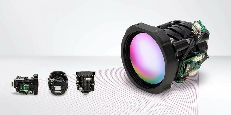
Teledyne FLIR Boson+ Thermal Camera Now Available with Factory-Integrated Continuous Zoom Lens9th May 2023
TOPODRONE to unveil a new lightweight 360° LiDAR model range
9th May 2023
Global Marketing Insights Teams with NineTwelve and STEP CG to Present GEOINT Workshop on Moving Data Securely and Quickly across the Battlespace
8th May 2023
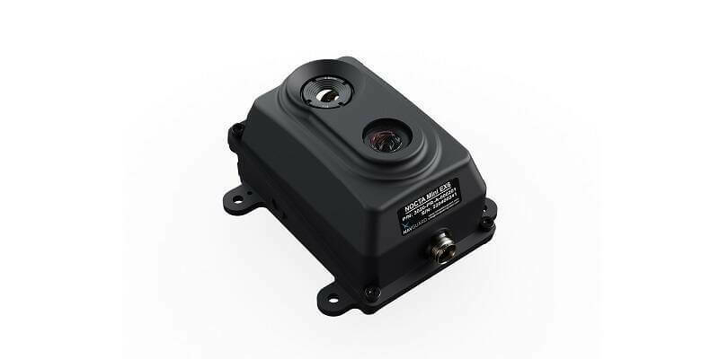
Asio Technologies Successfully Demonstrates Revolutionary NavGuard Solution for GNSS-Free Navigation in the US8th May 2023
Charlotta Sund appointed new CEO of Swedish Space Corporation8th May 2023
Europe’s advanced new weather satellite reveals Earth in her (cloudy) beauty5th May 2023
Septentrio collaborates with Braemac, strengthening its market reach5th May 2023
Beneath The Waves and Hexagon win Geospatial World Leadership Award for advancing Blue Carbon research in The Bahamas4th May 2023
Hexagon's latest WGIC appointments highlight commitment to diversity and sustainability4th May 2023
Advanced Satellite Data and Monitoring to Transform Disaster Response and Environmental Monitoring in Southeast Asia3rd May 2023
Association for Geographic Information Headlines at GEO Business
3rd May 2023
Leica Geosystems introduces the next evolution in smart, autonomous mobile mapping3rd May 2023
Bentley Systems Announces Two Colleagues Become Fellows with Professional Engineering Associations in the U.K.
2nd May 2023
The RIEGL Newsroom Eyes to the sky for RIEGL’s fleet of UAV-based LiDAR sensors at AUVSI XPONENTIAL 2023