
News
News as it happens! Keep in touch with the latest developments in business and technology in the regions or worldwide.

The integrated management of municipal infrastructure
2nd August 2016
The integrated management of municipal infrastructure
AirGon LLC Revolutionizes Drone Data Extraction
2nd August 2016
AirGon LLC Revolutionizes Drone Data Extraction
Geneq's announcement of iSXBlue receivers compatibility
2nd August 2016
Geneq's announcement of iSXBlue receivers compatibility
Esri and Leica Partner to Offer Grants to Governments
2nd August 2016
Esri and Leica Partner to Offer Grants to Governments
Pix4D Elevates Agriculture Software to Desktop & Cloud Solution
2nd August 2016
Pix4D Elevates Agriculture Software to Desktop & Cloud Solution
The Truth About Drones in Mapping and Surveying
1st August 2016
The Truth About Drones in Mapping and Surveying
Key Developments to Luciad's Geospatial Software Solutions
29th July 2016
Key Developments to Luciad's Geospatial Software Solutions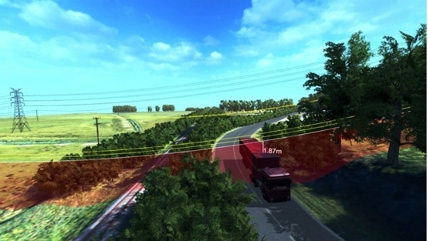
Fugro Partners With Electricity Transmission System Operator Elia
29th July 2016
Fugro Partners With Electricity Transmission System Operator Elia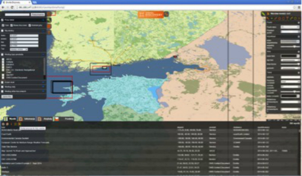

INTERGEO 2016 - INTERGEO TV, interaerial SOLUTIONS, Ticketshop
29th July 2016
INTERGEO 2016 - INTERGEO TV, interaerial SOLUTIONS, Ticketshop
ContextCapture Improves Quality of Reality Modeling
29th July 2016
ContextCapture Improves Quality of Reality Modeling
Trent Stromberg joins Avenza Systems as Business Development Manager
29th July 2016
Trent Stromberg joins Avenza Systems as Business Development Manager
Bluesky Geospatial Joins Ireland’s Growing Geographic Information Industry
28th July 2016
Bluesky Geospatial Joins Ireland’s Growing Geographic Information Industry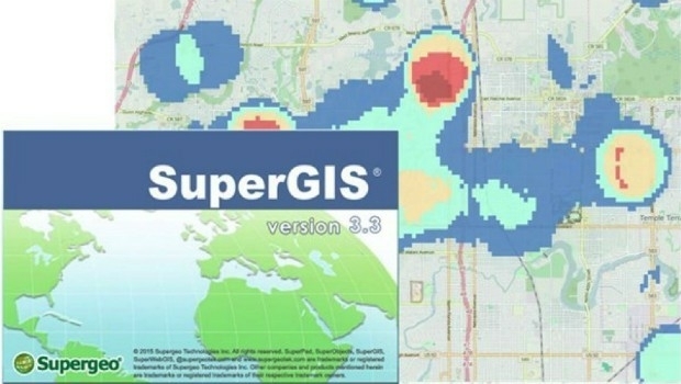
Local Government in Capoterra Selects SuperGIS Desktop
28th July 2016
Local Government in Capoterra Selects SuperGIS Desktop
SuperPad Assists the French Geotechnical Surveying Firm, Fondasol
28th July 2016
SuperPad Assists the French Geotechnical Surveying Firm, Fondasol
Pokévision and Esri Speed Pokémon Go Hunting
28th July 2016
Pokévision and Esri Speed Pokémon Go Hunting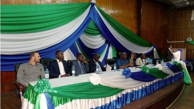
GAF establishes Geo-Data Information Management System for Sierra Leone
28th July 2016
GAF establishes Geo-Data Information Management System for Sierra Leone
Introducing HERE WeGo, the ultimate urban mobility companion
28th July 2016
Introducing HERE WeGo, the ultimate urban mobility companion
Lehmann Aviation redefines mapping drones with brand-new L-A Series
27th July 2016
Lehmann Aviation redefines mapping drones with brand-new L-A Series