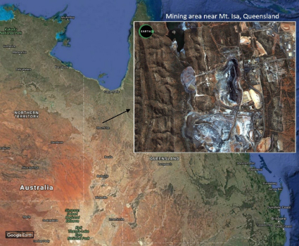
Major contract award from the Government of Queensland, Australia
15th December 2016
Major contract award from the Government of Queensland, AustraliaNews as it happens! Keep in touch with the latest developments in business and technology in the regions or worldwide.

15th December 2016
Major contract award from the Government of Queensland, Australia15th December 2016
HERE and Microsoft expand collaboration on location-based services15th December 2016
ETSIC.- Academic Program By Bentley through RTM14th December 2016
HERE provides PSA Group with highly accurate maps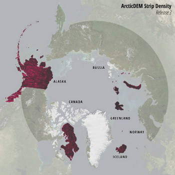
14th December 2016
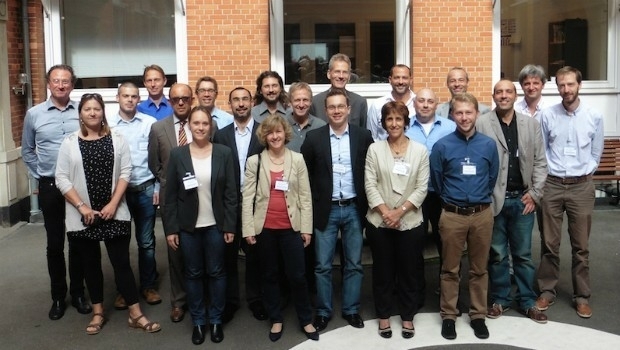
GAF, GeoVille, SIRS and e-GEOS contracted by the EEA14th December 2016
Lossless Compression of Harris Geiger-Mode LiDAR Data in GeoExpress14th December 2016
IBM, Sc2 and Luciad Partner for Cognitive Social Media Analytics
14th December 2016
Merry Christmas from the thinkWhere Team

14th December 2016
Ecometrica makes Deloitte 2016 Technology Fast 500 EMEA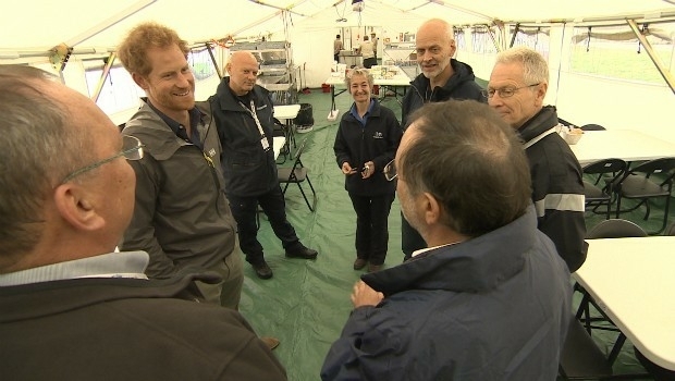
14th December 2016
Prince Harry shines a light on the vital work of MapAction volunteers
14th December 2016
Sercel Sell Four 508XT Acquisition Systems to Indian Seismic Companies14th December 2016
Itron Tops Navigant Research Leaderboard14th December 2016
Proteus Geo works with AECOM to test new Bathymetry Service14th December 2016
The Hydrographic Society UK Launches Alan Ingham Student Award Scheme14th December 2016
Pavement Management with Fugro's Specialized Technology14th December 2016
Award-winning engineering firm acquires Maptek tools14th December 2016
Septentrio Provides Low-Power Embedded GNSS for Xeos Technologies14th December 2016
New Digital Mapping Tool for Citizens Introduced13th December 2016
Septentrio PolaRx5 GNSS receivers for volcano monitoring13th December 2016
Geosoft announces technology partnership with Corescan