
Greg Bentley to Hold Press Conference at SPAR 3D Expo
20th March 2017
Greg Bentley to Hold Press Conference at SPAR 3D ExpoNews as it happens! Keep in touch with the latest developments in business and technology in the regions or worldwide.
20th March 2017
Greg Bentley to Hold Press Conference at SPAR 3D Expo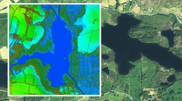
20th March 2017
Bluesky to 3D Laser Map Environmental Features in Ireland
18th March 2017
Image Platform Bundles for Analysis, Management, and Analytics18th March 2017
Esri Brings The Science of Where to IBM InterConnect 2017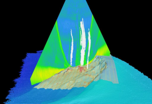
17th March 2017
Fugro hunts for more Hydrocarbon Seeps in US Gulf of Mexico
17th March 2017
GEO Business 2017 launches its FREE to attend workshops
17th March 2017
SuperPad 10, Taking Mobile GIS to a New Level17th March 2017
Telit Introduces New Family of Industry’s Smallest GNSS Modules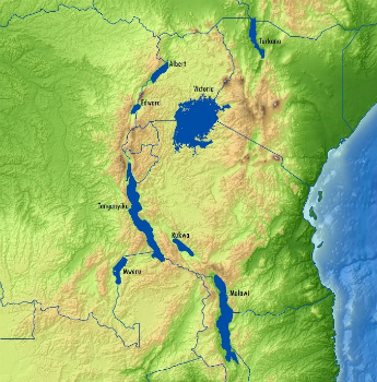
16th March 2017
The Getech Group Delivers Insights into African Lakes from Space
16th March 2017
Paul McMann appointed to British Drilling Association head committee16th March 2017
Launch of INTERGEO 2017: Topics that get the geo-IT sector noticed
16th March 2017
Why desktop is essential for drone mapping in agriculture16th March 2017
AND International Publishers NV 2016 Results16th March 2017
Global Mapper SDK and LiDAR Module SDK v18.1 Released15th March 2017
Cityworks Celebrates Long-Time Partnership with Esri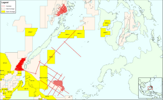
15th March 2017
CGG Completes Processing of Carabao Regional Multi-Client Study15th March 2017
OGC approves new standard for geological science data15th March 2017
House of Lords Heeds RazorSecure Warning On Future of Self-Drive Cars
15th March 2017
Bluesky Acquires US Aerial Survey Company Col-East15th March 2017
First high-power all-electric EUTESAT 172B satellite shipped to Kourou
15th March 2017
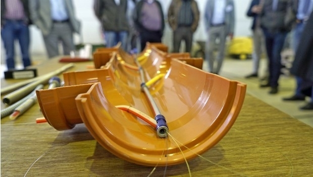
Cables and sewers: cross-sector line management with BaSYS

15th March 2017
Esri Will Donate Software to Fight Drug Addiction