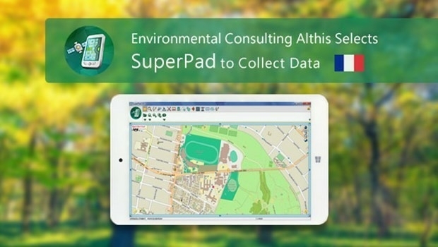
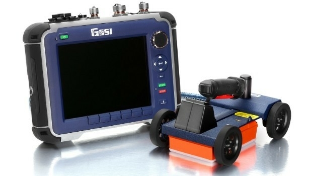
French Environmental Consulting Althis Selects SuperPad to Collect Data
15th June 2017
French Environmental Consulting Althis Selects SuperPad to Collect DataNews as it happens! Keep in touch with the latest developments in business and technology in the regions or worldwide.

15th June 2017
French Environmental Consulting Althis Selects SuperPad to Collect Data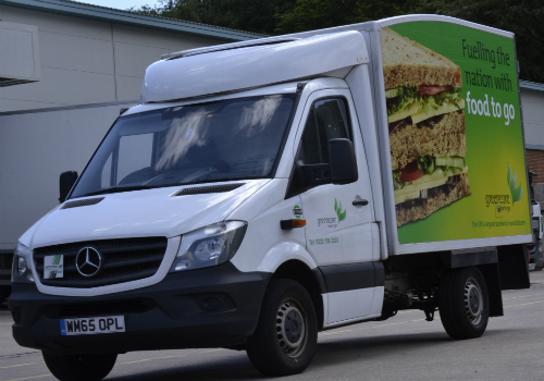
15th June 2017
Greencore Adopts 3g Camera Solution To Target Road Safety Improvements
15th June 2017
Uttar Pradesh Police Receives Award for UP 100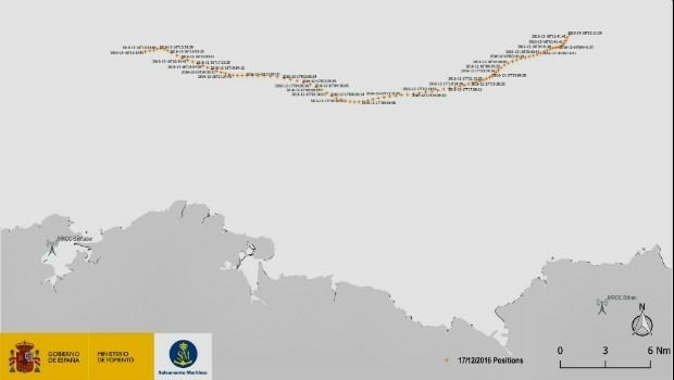

15th June 2017
Innovation Award from Hexagon Safety & Infrastructure for Bayernwerk15th June 2017
Septentrio Delivers Greater performance, security and functionality
14th June 2017
University of the Punjab Selects SuperGIS Desktop 10
14th June 2017
Latest SuperGIS Desktop 10 Release Provides a Smoother Experience
14th June 2017
Orbit GT and Geotecnologias, Costa Rica, sign Reseller Agreement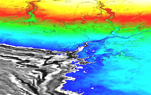
14th June 2017
Integrated approach accelerates understanding of petroleum systems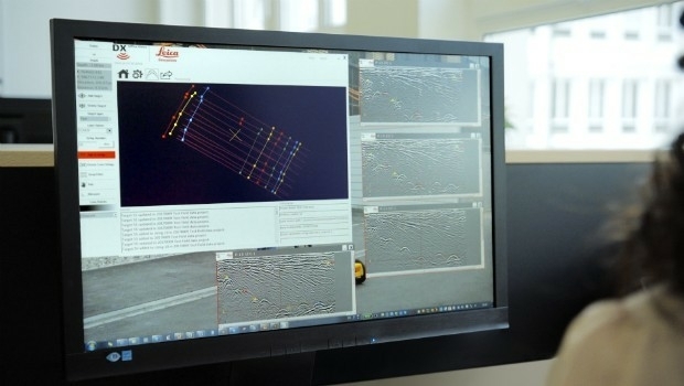
14th June 2017
Utility post processing software delivers CAD drawings in less time14th June 2017
Publication Explores How Location Technology Drives Business Growth_DLR_e.jpg)
14th June 2017
10 years of precision and reliability of TerraSAR-X satellite14th June 2017
Latest 3D Modeling Technologies at Goodwood Festival of Speed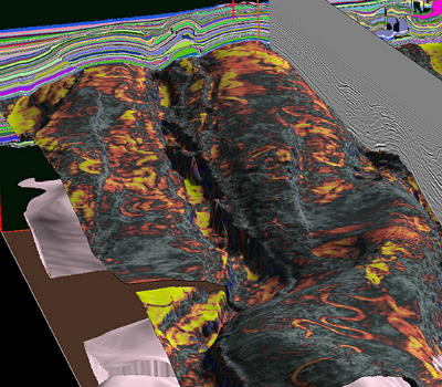
14th June 2017
CGG Launches JumpStart Regional Geoscience Programs14th June 2017
Blue Marble LiDAR Workshop at the Esri UC in San Diego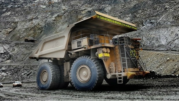
13th June 2017
Hexagon launches HxGN Mine VIS, a vehicle intervention system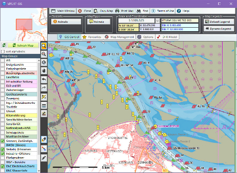
13th June 2017
Computer Aided Marine Contingency Planning System Developed
13th June 2017
Hexagon Safety & Infrastructure Incident Command System Application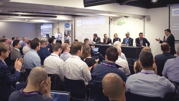
13th June 2017
Korea Meteorological Administration hosts 45th CGMS meeting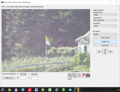
13th June 2017
Leica Geosystems introduces imagery, live video stream to monitoring