
Space42 Expands its Satellite Connectivity Solutions with “Thuraya One” Smartphone
4th March 2025
Space42 Expands its Satellite Connectivity Solutions with “Thuraya One” SmartphoneNews as it happens! Keep in touch with the latest developments in business and technology in the regions or worldwide.

4th March 2025
Space42 Expands its Satellite Connectivity Solutions with “Thuraya One” Smartphone
3rd March 2025
VertiGIS Announces ConnectMaster for ArcGIS to Enhance Network Inventory Management for Telecommunications and Utilities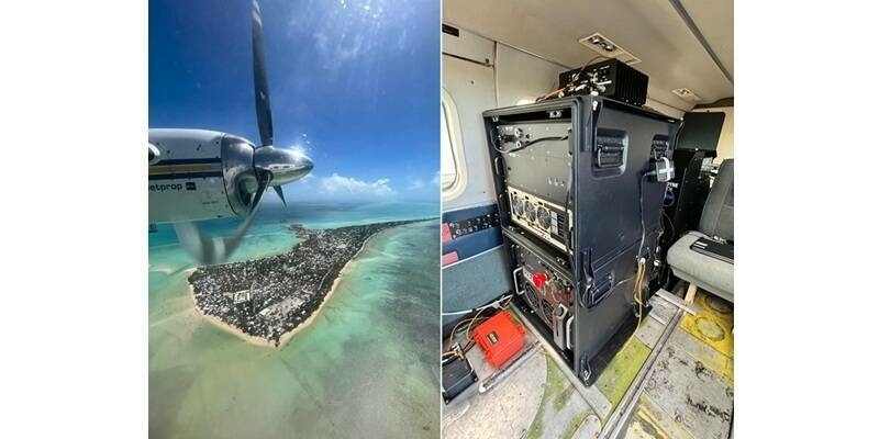
3rd March 2025
Teledyne Geospatial's Optech CZMIL SuperNova integral to Tetra Tech's award-winning project
28th February 2025
Creaform Introduces the Pro version of its Scan-to-CAD Application Module
28th February 2025
GMV to supply the Spanish Air and Space Force with a simulator for advanced space surveillance, command, and control training
27th February 2025
The 2nd MENA Geospatial Forum 2025 Opens with Strong Industry Engagement, Advancing Regional Geospatial Innovation
27th February 2025
Astroscale Japan Secures Contract with Japanese Ministry of Defense to Develop a Responsive Space System Demonstration Satellite Prototype
27th February 2025
Eagle Mapping Celebrates 40 Years in Business and Acquires 10th RIEGL Sensor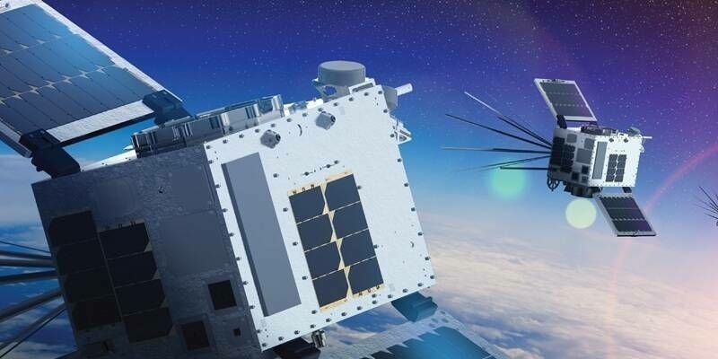
26th February 2025
HawkEye 360 Announces Initial Operational Capability of Cluster 11
26th February 2025
South Oxfordshire and Vale of White Horse District Councils accelerate digital transformation with Cadcorp cloud GIS
25th February 2025
Teledyne Space Imaging launches not one but two imaging sensors in sun-synchronous orbit NASA explorer missions
25th February 2025
Celestia Reports Strong Performance & Growth In 2024
23rd February 2025
Geo Connect Asia expands its regional footprint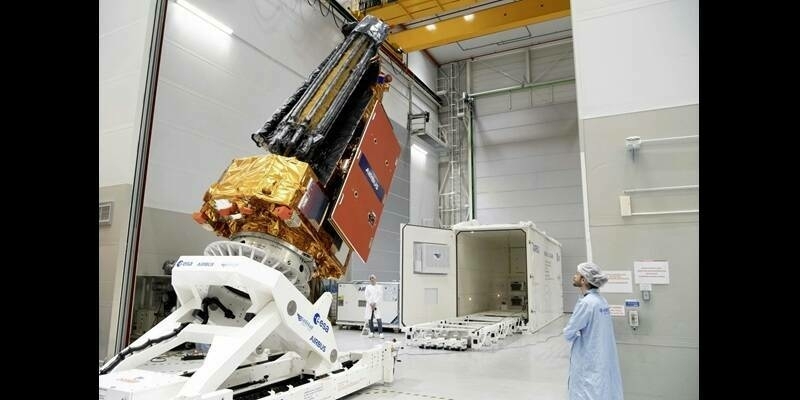
23rd February 2025
Airbus-built Biomass forest measuring satellite shipped to Kourou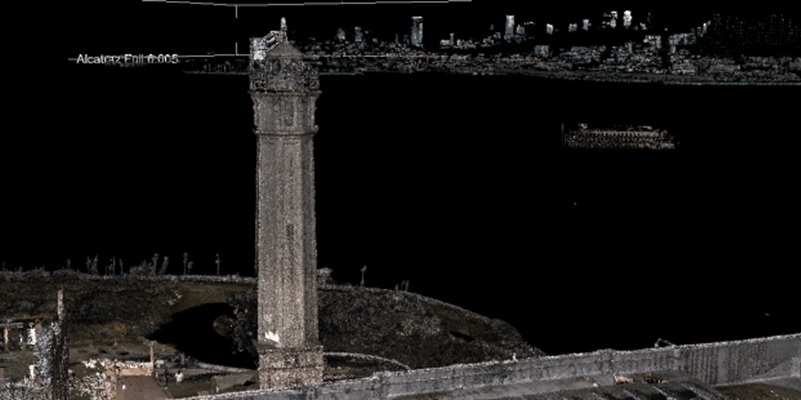
23rd February 2025
RIEGL Technology Unveils Stunning LiDAR Expedition of Alcatraz at Geo Week 2025
21st February 2025
Aero-Graphics Enhances Capabilities with Acquisition of RIEGL’s Latest VQ-1560 III-S Airborne Laser Scanner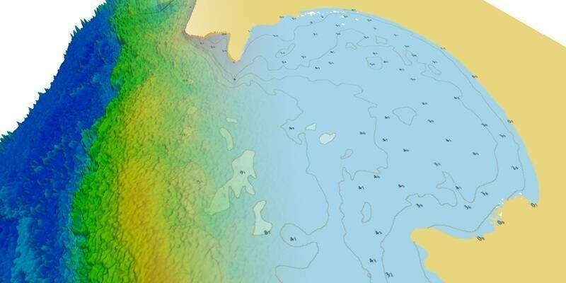
21st February 2025
TCarta Announces Satellite Derived Bathymetry Product to Supplement Official Nautical Charts in Shallow Coastal Zones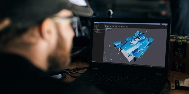
21st February 2025
Creaform Releases Creaform.OS and the Creaform Metrology Suite for the Ultimate User Experience (UX)
20th February 2025
Juniper Systems announces Galileo High Accuracy Service (HAS) enabled Geode GNSS Receiver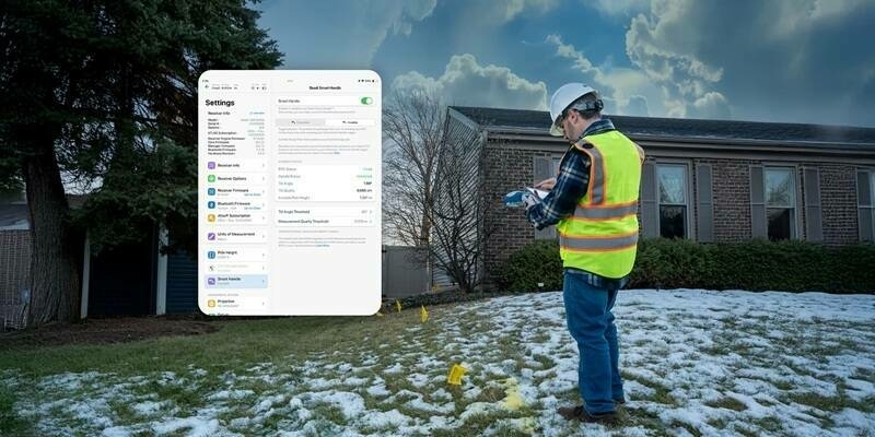
20th February 2025
Eos Positioning Systems Announces Complete Redesign of Eos Tools Pro App on iOS
19th February 2025
Terra Drone Announces Distribution Agreement for “Terra Xross 1” with RMUS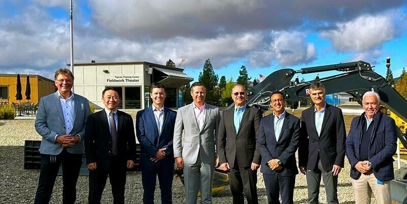
19th February 2025
Topcon and FARO Technologies announce strategic agreement in laser scanning technology
19th February 2025
GMV to Deliver Next-Generation Satellite Control Software Suite for the Telesat Lightspeed Constellation
18th February 2025
SimActive Used to Map Large Oil & Gas Operation