
Skyline Software Systems Releases Terraexplorer for Web V7.0
31st July 2017
Skyline Software Systems Releases Terraexplorer for Web V7.0News as it happens! Keep in touch with the latest developments in business and technology in the regions or worldwide.
31st July 2017
Skyline Software Systems Releases Terraexplorer for Web V7.0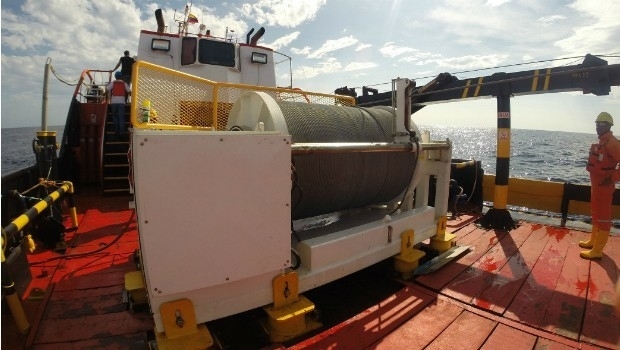
31st July 2017
Okeanus Science & Technology Acquires DT Marine Products

29th July 2017
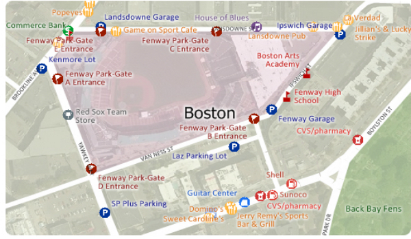
Free Point of Interest Data by Type for Use with Maptitude28th July 2017
UAS Mapping Certification Program at Commercial UAV Expo 201728th July 2017
New subscription plans for Oasis montaj suite of geoscience software
28th July 2017
BP Honored at 2017 Esri International User Conference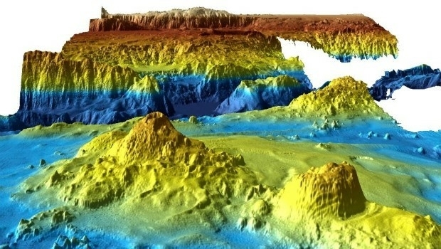
28th July 2017
Unique Seafloor Data Provides New Insight To Scientific Communities28th July 2017
Stakeholders in Global Smart City Market Seek New Funding Models
27th July 2017
MicaSense Atlas is now integrated with Pix4D desktop software
27th July 2017
SuperSurv Selected for Road Data Collection in Meurthe-et-Moselle, France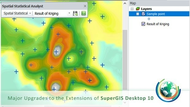
27th July 2017
Upgraded Extensions of SuperGIS Desktop Provide More Insights
27th July 2017
Orbit GT selected as one of 20 most promising geospatial companies27th July 2017
OGC announces Leidos’ upgrade to Principal Membership
27th July 2017
HERE launches supercharged Real-Time Traffic service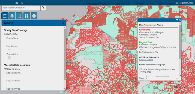
27th July 2017
Explore the World’s Geology with Getech’s Interactive Maps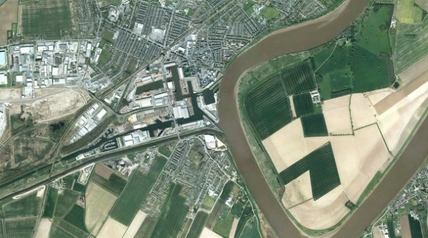
27th July 2017
Bluesky Aerial Photography Helps Yorkshire Water Keep an Eye on Assets27th July 2017
GeoCue GNSS Direct Geopositioning System For Low Cost DJIDrones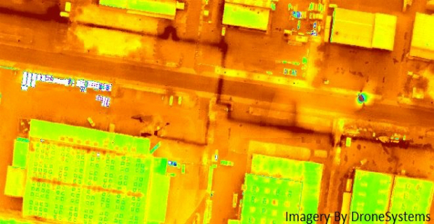
27th July 2017
Icaros and TeAx Announce an Integrated Drone Mapping Solution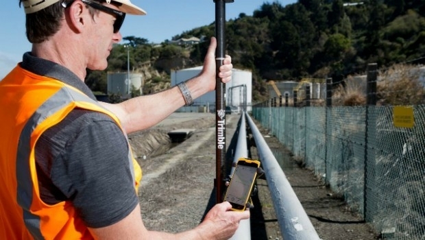
27th July 2017
Trimble Introduces New Android Application26th July 2017
Majority Of Drone Owners Welcome Flying Exam
26th July 2017
ABPmer helps develop new coastal restoration project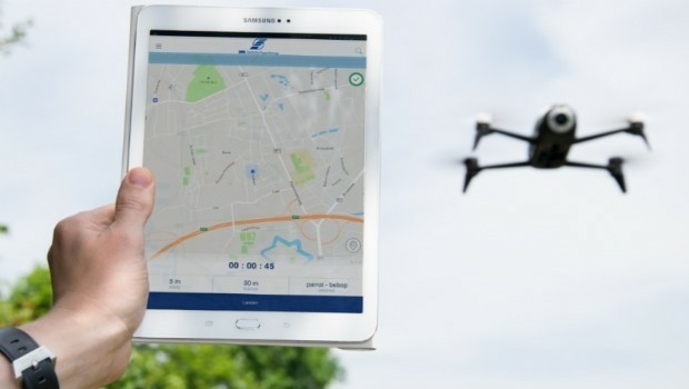
26th July 2017
DFS launches free app to support safe drone flights