Esri and Smart Dubai Sign Enterprise Agreement
8th August 2017
Esri and Smart Dubai Sign Enterprise AgreementNews as it happens! Keep in touch with the latest developments in business and technology in the regions or worldwide.
8th August 2017
Esri and Smart Dubai Sign Enterprise Agreement8th August 2017
Skyline Software Systems Releases Photomesh 7.2
8th August 2017
TCarta Marine Changes the Way Dynamic Environments are Managed
8th August 2017
Survey Highlights Councils’ Need to Encourage Online Reporting8th August 2017
Taboola increases accuracy of mobile and desktop geolocation services
8th August 2017
Shingle B: the online tool helping protect and monitor shingle beaches
8th August 2017
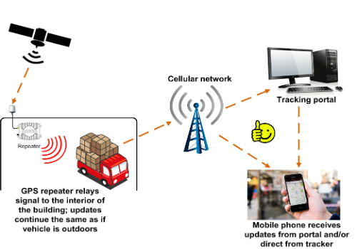
GPS repeater technology ensures end-to-end visibility of cargo

8th August 2017
Route Execution with Visibility of Sub-Contracted Vehicles Enhanced7th August 2017
Oracle makes transportation more efficient with HERE7th August 2017
Participate in a Simulated Exercise at the Disaster Risk Reduction

7th August 2017
Orbit GT and ViaTech, Norway, sign Reseller Agreement
7th August 2017
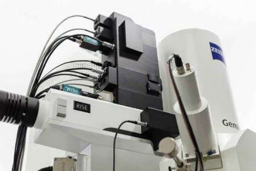
WITec's RISE Microscopy Now Available with ZEISS Sigma 300 SEM7th August 2017
CGG Launches Gippsland ReGeneration reprocessing project in Australia
4th August 2017
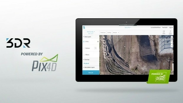
3DR Site Scan processing now powered by Pix4D4th August 2017
AutoPIPE CONNECT Edition Now Includes ASME B31J at No Additional Cost
3rd August 2017
Efficient Management of Large Process Facilities
3rd August 2017
HR Wallingford and G-tec to provide underwater acoustic services3rd August 2017
Global Marketing Insights at “Small Satellites Big Data Conference”
3rd August 2017
Are motorway canopies a worthwhile expense?3rd August 2017
Geovation start-up partners with insurance giant