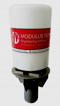
New rugged GPS receiver for marine surveyors
16th August 2017
New rugged GPS receiver for marine surveyorsNews as it happens! Keep in touch with the latest developments in business and technology in the regions or worldwide.

16th August 2017
New rugged GPS receiver for marine surveyors
16th August 2017
TCarta Marine change the way dynamic environments are managed
16th August 2017
KudanSLAM: 3D Recognition and Position Tracking Software16th August 2017
Global Mapper Certification Classes in Atlanta and Ottawa Announced16th August 2017
Timely, Objective Asset Data to be Delivered to the Public Sector
16th August 2017
Vessel Salvage in Pacific Ocean Using ABPmer’s Weather Downtime Tool
15th August 2017
World’s polluters escape detection with outdated approach
15th August 2017
Hexagon announces updates to 2017 airborne imagery collection plans15th August 2017
Yotta targets Latin American and North African market
15th August 2017
Large Companies Target Energy Independent Electric Vehicles
15th August 2017
Presenters promise revelations at Energy Independent Vehicle event15th August 2017
Gold Sponsor of 17th International Scientific and Technical Conference15th August 2017
20 Years of Continuous, Failure-Free Operations14th August 2017
Safety app to check-in with lone working staff around the clock14th August 2017
Digital Element’s location-based technology
11th August 2017
Drone based LiDAR for Aberystwyth University global research
11th August 2017
Michael P. Huerta to Deliver Grand Opening Keynote at InterDrone_2.jpg)
11th August 2017
Bentley Announces Finalists in 2017 "Be Inspired" Awards Program