
Renishaw chief to receive award from the University of Huddersfield
18th September 2017
Renishaw chief to receive award from the University of HuddersfieldNews as it happens! Keep in touch with the latest developments in business and technology in the regions or worldwide.

18th September 2017
Renishaw chief to receive award from the University of Huddersfield17th September 2017
Hamburg and HERE to partner on intelligent mobility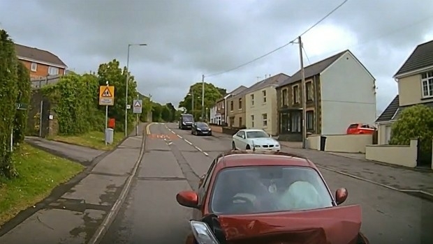
16th September 2017
3G Vehicle Cameras Prove Liability and Defend Against Claims
16th September 2017
Esri to Present at TechCrunch Disrupt SF 2017
16th September 2017
Maptitude Supports High School Course in Geographic Technology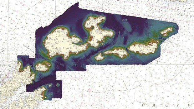
15th September 2017
Fugro Establishes Hydrography Centre of Excellence in Houston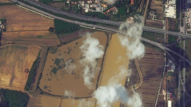
15th September 2017
Italy: Satellite Images of Flooding in Livorno15th September 2017
Unmanned Systems industry leaders are gathering in Odense
15th September 2017
7th International Conference on Cartography & GIS15th September 2017
Second Annual PrecisionAg® Vision Conference
15th September 2017
RENEXPO® BiH 2017 open the doors for the 4th time.
15th September 2017
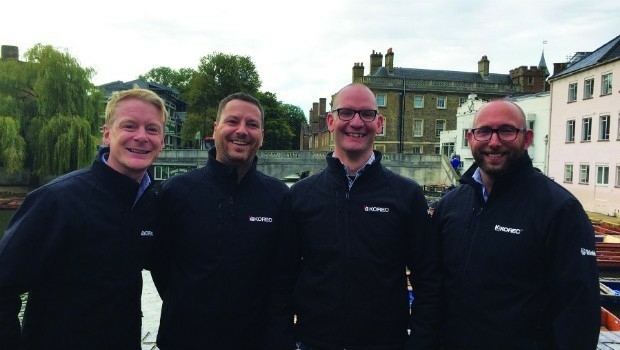
KOREC expansion strengthens its commitment to customer service
15th September 2017
RENEXPO® INTERHYDRO Europe’s #1 Hub for Hydropower
15th September 2017
VolkerWessels to Use Yotta’s Horizons on Dutch Infrastructure Project15th September 2017
INVITATION to international INTERGEO Press Conference 201715th September 2017
INTERGEO 2017 - Are you prepared for your visit?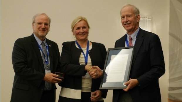
14th September 2017
Marie-Françoise Voidrot receives OGC’s Gardels Award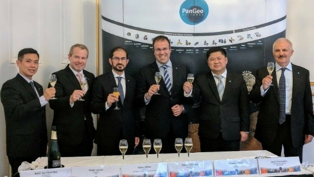
14th September 2017
The PanGeo Alliance welcomes a new member
14th September 2017
Elbit Systems and Lockheed Martin to Partner for the Royal Navy14th September 2017
Dstl to develop Active Protection System technology
14th September 2017
Maxoptra Helps The Tomato Stall Deliver Fresh Produce Across UK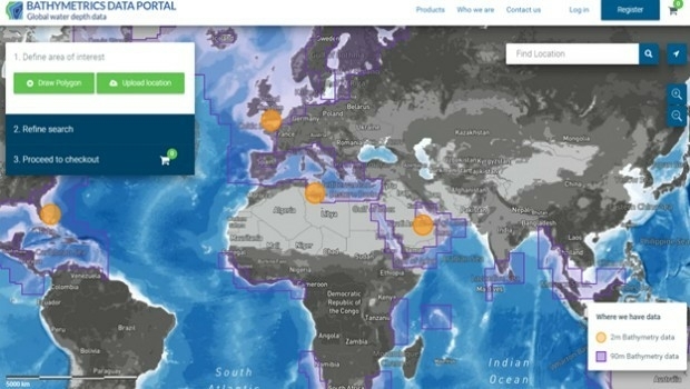
14th September 2017
New Bathymetrics Data Portal delivers quality water depth data online