
News
News as it happens! Keep in touch with the latest developments in business and technology in the regions or worldwide.
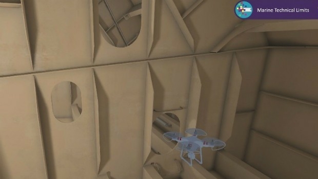
Bureau Veritas joins the RECOMMS drones project
4th October 2017
Bureau Veritas joins the RECOMMS drones project


Satellite Images show Europe's diversity in new book
3rd October 2017
Satellite Images show Europe's diversity in new book
Kenyan Government Mapping Mines with Correlator3D™
3rd October 2017
Kenyan Government Mapping Mines with Correlator3D™Frequentis and Hexagon for Nationwide Integrated Command Centers
2nd October 2017
Frequentis and Hexagon for Nationwide Integrated Command Centers
Approaches and solutions for tomorrow’s transport
2nd October 2017
Approaches and solutions for tomorrow’s transport
Drone Major Group - launches today to provide global connectivity
2nd October 2017
Drone Major Group - launches today to provide global connectivity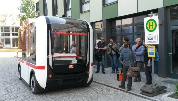
CGG announces overwhelming acceptance by creditors
2nd October 2017
CGG announces overwhelming acceptance by creditors
LAStools Win Big at INTERGEO Taking Home Two Innovation Awards
2nd October 2017
LAStools Win Big at INTERGEO Taking Home Two Innovation Awards
Fugro Wins Highway Data Collection Contract for The State Of Alaska
30th September 2017
Fugro Wins Highway Data Collection Contract for The State Of Alaska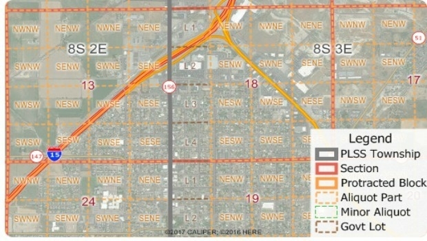
Free Public Land Survey System (PLSS) Data for Use with Maptitude
30th September 2017
Free Public Land Survey System (PLSS) Data for Use with Maptitude
Pitney Bowes selects HERE data to aid insurers
30th September 2017
Pitney Bowes selects HERE data to aid insurers

Bluesky Tree Map Helps Dudley Protect Urban Trees
29th September 2017
Bluesky Tree Map Helps Dudley Protect Urban TreesSuccessfully launching the 3rd Annual Smart Parking UAE Conference
28th September 2017
Successfully launching the 3rd Annual Smart Parking UAE Conference
INTERGEO 2017 – “We are bringing worlds together”
28th September 2017
INTERGEO 2017 – “We are bringing worlds together”
Astun Technology Supports Ordnance Survey
28th September 2017
Astun Technology Supports Ordnance Survey
RIEGL announces significant product news at INTERGEO
28th September 2017
RIEGL announces significant product news at INTERGEOHemisphere GNSS Debuts Next-Generation S321+ and C321+ GNSS Smart Antennas
28th September 2017
Hemisphere GNSS Debuts Next-Generation S321+ and C321+ GNSS Smart Antennas