
FIG Congress 2018 6-11 May 2018 - Registration has opened
18th December 2017
FIG Congress 2018 6-11 May 2018 - Registration has openedNews as it happens! Keep in touch with the latest developments in business and technology in the regions or worldwide.

18th December 2017
FIG Congress 2018 6-11 May 2018 - Registration has opened18th December 2017
Josh Weiss Named President of Hexagon Mining_preview.jpg)
18th December 2017
£4.4m to help reduce 'hidden hunger' in Ethiopia and Malawi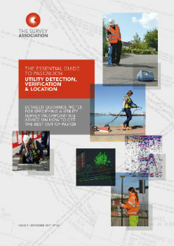
18th December 2017
Survey Association issues new guidance on specifying a utility survey
18th December 2017
A year of progress for commercial drone industry
18th December 2017
SSTL ships RemoveDEBRIS mission for ISS launch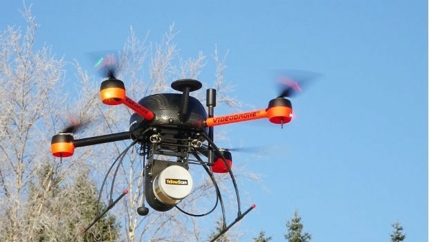
16th December 2017
Newly Launched Seminar Programme at GEO Business 2018
16th December 2017
GEO Business 2018 announce Call for Abstracts
16th December 2017
EUMETSAT takes ownership of two MTG ground stations16th December 2017
Big Data Analytics for Geospatial Solutions Accelerated
15th December 2017
Earth-i chooses Spacemetric for image and video processing
15th December 2017
GeoSLAM Celebrates 5 Years In Business With New HQ & Record Growth
15th December 2017
Fugro Completes The Deep Foundation Testing For Dubai Signature Tower14th December 2017
OGC is seeking sponsors for Phase 2 of its Future Cities Pilot Project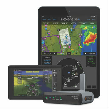
14th December 2017
Garmin® announces availability for the GDL® 52
14th December 2017
Mobility on Demand: Demand-driven transport14th December 2017
Transatel Selected by Airbus to Power Skywise14th December 2017
Airbus CyberSecurity Predictions for 2018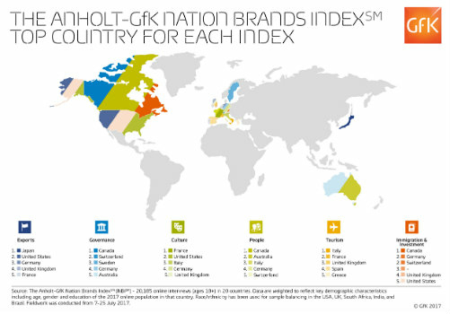
14th December 2017
Anholt-GfK Nation Brands Index study, 201714th December 2017
ESA selects Airbus for Copernicus Data and Information Access Service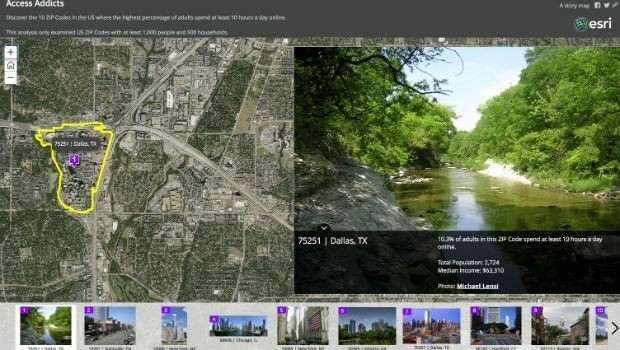
14th December 2017
Esri Maps Highlight Net Neutrality Implications14th December 2017
GPS III and OCX Successfully Complete Factory Mission Readiness Test