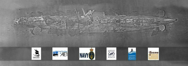
Fugro’s Data Brings Successful Close To The Search For Lost Sub AE1
22nd December 2017
Fugro’s Data Brings Successful Close To The Search For Lost Sub AE1News as it happens! Keep in touch with the latest developments in business and technology in the regions or worldwide.

22nd December 2017
Fugro’s Data Brings Successful Close To The Search For Lost Sub AE122nd December 2017
CGG obtains recognition of the French ruling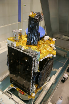
22nd December 2017
Airbus ships high-power electric SES-14 satellite to Kourou
22nd December 2017
Unlock Information from Imagery for Use in Maps and Analysis21st December 2017
An economical, easy-to-install, and rule-compliant ADS-B Out solution
21st December 2017
Healthcare to Smart Cities Showcased by Dassault Systèmes at CES 2018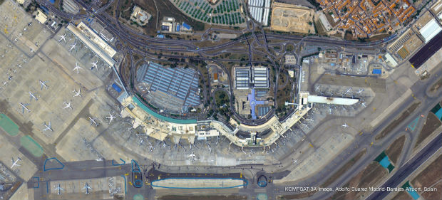

21st December 2017
Joint Exercise between the British Royal Navy and the Israeli Navy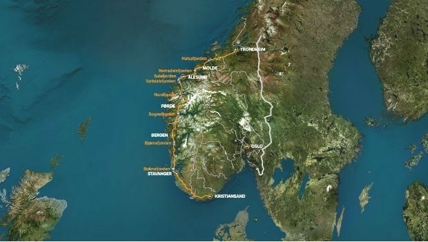
21st December 2017
Fugro To Play Pivotal Role In Norway’s Largest Ever Highway Project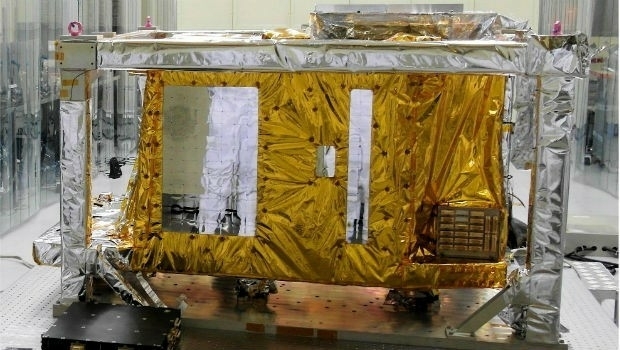
20th December 2017
Airbus delivered GOCI-II instrument to the Korean space agency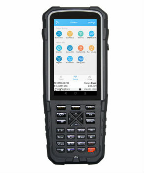
20th December 2017
ComNav Introduces Rugged R500 Android-Based GNSS Data Collector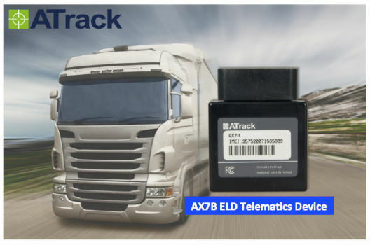
20th December 2017
ATrack Introducing New ELD Telematics Device AX7B20th December 2017
LCCS for the U.S. Army’s C-26 and UC-35 Aircraft Fleet20th December 2017
Blue Marble Adds Chinese Reseller to its Worldwide Network of Partners20th December 2017
Topcon and Bentley announce kick-off of Constructioneering Academy20th December 2017
Linear Draft - 3D BIM Overhead Line Electrification Designer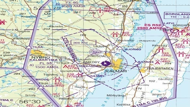
20th December 2017
East View Geospatial Now Offering Swedish Aeronautical Charts
20th December 2017
Hexagon Mining releases improved schedule optimizer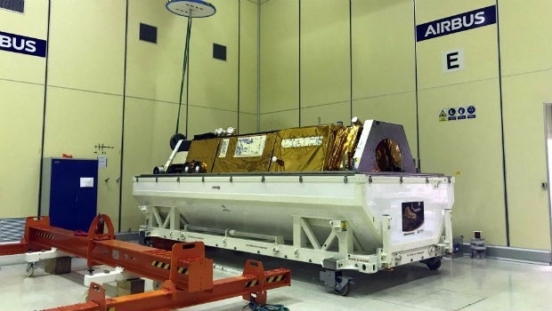
19th December 2017
PAZ satellite starts its journey to space

19th December 2017
Esri Maps Highlight Holiday Traffic around Major Airports19th December 2017
Landmark Information secures Met Office digital contract