News
News as it happens! Keep in touch with the latest developments in business and technology in the regions or worldwide.


Jamie Watson Joins Intelligent Telematics As Field Operations Manager
9th March 2018
Jamie Watson Joins Intelligent Telematics As Field Operations ManagerIrish City of the Future Uses Bluesky Aerial Photomaps to Inform Development Plans
8th March 2018
Irish City of the Future Uses Bluesky Aerial Photomaps to Inform Development PlansEOMAP appointed as Satellite Derived Bathymetry provider
8th March 2018
EOMAP appointed as Satellite Derived Bathymetry provider
Bentley Systems Issues Call for Submissions
8th March 2018
Bentley Systems Issues Call for Submissions
Boundless to Host Roundtable Webinar on Boundless Server Enterprise
8th March 2018
Boundless to Host Roundtable Webinar on Boundless Server EnterpriseTCarta to Highlight Safety Benefits at Oceanology International 2018
8th March 2018
TCarta to Highlight Safety Benefits at Oceanology International 2018
OGC publishes Testbed 13 Engineering Reports
8th March 2018
OGC publishes Testbed 13 Engineering Reports
Plumbing World Maps Out Expansion with Maxoptra Routing
8th March 2018
Plumbing World Maps Out Expansion with Maxoptra RoutingsmartStation: The intelligent stop of the future
8th March 2018
smartStation: The intelligent stop of the future
Esri Releases Survey123 for ArcGIS with New Spike Integration
8th March 2018
Esri Releases Survey123 for ArcGIS with New Spike Integration
Space Flight Laboratory to Highlight Missions at Satellite 2018
8th March 2018
Space Flight Laboratory to Highlight Missions at Satellite 2018Integra and Unifly join forces for safer drone traffic near airports
8th March 2018
Integra and Unifly join forces for safer drone traffic near airportsSupergeo Enhances the Agricultural Productivity in St. Kitts and Nevis
8th March 2018
Supergeo Enhances the Agricultural Productivity in St. Kitts and NevisGarmin® grows Connext® wireless cockpit connectivity portfolio
7th March 2018
Garmin® grows Connext® wireless cockpit connectivity portfolioRezatec extends its global reach into Canada
7th March 2018
Rezatec extends its global reach into Canada
OGC joins ApacheCon as Community Partner and Geospatial Track lead
6th March 2018
OGC joins ApacheCon as Community Partner and Geospatial Track leadData for Use with Maptitude for entire USA
6th March 2018
Data for Use with Maptitude for entire USA
Avenza Releases MAPublisher 10.1 For Adobe Illustrator
6th March 2018
Avenza Releases MAPublisher 10.1 For Adobe IllustratorGeoDATA Ireland Showcase 2018 Registration Now Open
6th March 2018
GeoDATA Ireland Showcase 2018 Registration Now Open
NavAidDrone: new drone-based measurement system
6th March 2018
NavAidDrone: new drone-based measurement system
Adapting satellite technologies for general aviation operations
6th March 2018
Adapting satellite technologies for general aviation operations
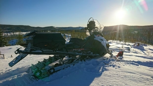
Woodland Managers in Sweden Choose Globalstar’s SPOT Gen3
5th March 2018
Woodland Managers in Sweden Choose Globalstar’s SPOT Gen3