News
News as it happens! Keep in touch with the latest developments in business and technology in the regions or worldwide.
Hardware acceleration boosts science on the ISS
16th April 2018
Hardware acceleration boosts science on the ISS
Integrate Your Products with Supergeo’s GIS Techniques!
14th April 2018
Integrate Your Products with Supergeo’s GIS Techniques!
SuperGIS Web Mapper 2.0 Is Ready for Release!
13th April 2018
SuperGIS Web Mapper 2.0 Is Ready for Release!Mr. Tapio Kallonen appointed CEO, Specim Spectral Imaging Ltd. Oy
12th April 2018
Mr. Tapio Kallonen appointed CEO, Specim Spectral Imaging Ltd. Oy
National Insurance Crime Bureau to Present at the Business Summit
12th April 2018
National Insurance Crime Bureau to Present at the Business SummitsenseFly announces the appointment of new CEO, Gilles Labossière
12th April 2018
senseFly announces the appointment of new CEO, Gilles Labossière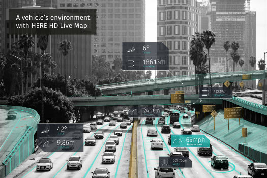
HERE Technologies opens self-driving car R&D site in Boulder, Colorado
12th April 2018
HERE Technologies opens self-driving car R&D site in Boulder, Colorado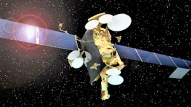
Airbus has shipped SES-12 highly innovative satellite to launch base.
12th April 2018
Airbus has shipped SES-12 highly innovative satellite to launch base.Satellite imagery and AI software for vineyard health in Australia
12th April 2018
Satellite imagery and AI software for vineyard health in AustraliaGEO Business 2018 Launch Brand New Seminar and Workshop Programme
12th April 2018
GEO Business 2018 Launch Brand New Seminar and Workshop Programme

GeoDATA Ireland Showcase 2018 two weeks to go
11th April 2018
GeoDATA Ireland Showcase 2018 two weeks to goSphereVision Project Provides Complete 360 Imaging Platform
11th April 2018
SphereVision Project Provides Complete 360 Imaging Platform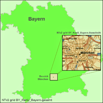
Solutions for problems with large NTv2 files in GIS and Geosoftware
11th April 2018
Solutions for problems with large NTv2 files in GIS and Geosoftware
Elbit Systems Acquires Universal Avionics Systems Corporation
11th April 2018
Elbit Systems Acquires Universal Avionics Systems CorporationEfficient Data Collection for Crash and Crime Scene Investigators
11th April 2018
Efficient Data Collection for Crash and Crime Scene Investigators
GEO Business 2018 reveal brand new seminar and workshop programme
11th April 2018
GEO Business 2018 reveal brand new seminar and workshop programme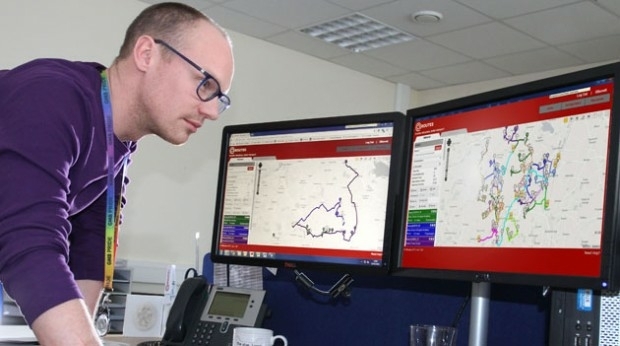
Bedford Boosts Transport Efficiency with QRoutes
11th April 2018
Bedford Boosts Transport Efficiency with QRoutes
More than a Dozen Federal Agencies to Present at GEOINT 2018
10th April 2018
More than a Dozen Federal Agencies to Present at GEOINT 2018
Explore What's in Store for You at the World’s Largest GIS Event
10th April 2018
Explore What's in Store for You at the World’s Largest GIS Event_2017_21AT_Image_All_rights_reserved_-_Distribution_Airbus_DS.jpg)
Airbus further strengthens its Earth observation imagery portfolio
10th April 2018
Airbus further strengthens its Earth observation imagery portfolio