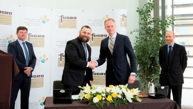
Fugro and KAUST To Train Saudi Students In Marine Technology
3rd May 2018
Fugro and KAUST To Train Saudi Students In Marine TechnologyNews as it happens! Keep in touch with the latest developments in business and technology in the regions or worldwide.

3rd May 2018
Fugro and KAUST To Train Saudi Students In Marine Technology
3rd May 2018
Maptitude Mapping Software Team Provides Awards & Prizes3rd May 2018
Aptiv Launches Fleet of Autonomous Vehicles on the Lyft Network
2nd May 2018
thinkWhere helps Scotland's Superfast Broadband achieve 95% coverage
2nd May 2018
PTV Transport Consult GmbH counts among Germany's top consultants
2nd May 2018
SphereVision Introduces Smoke Layer and VR Viewing2nd May 2018
Boundless Exchange Now Available as Managed Offering in the Cloud2nd May 2018
New Rugged Atlas®-Capable UAV GNSS Antenna from Hemispere GNSS
2nd May 2018
Free Drone Strategy Sessions Available to UK Surveying Businesses
2nd May 2018
OGC calls for Sponsors of a major Innovation Initiative, Testbed 15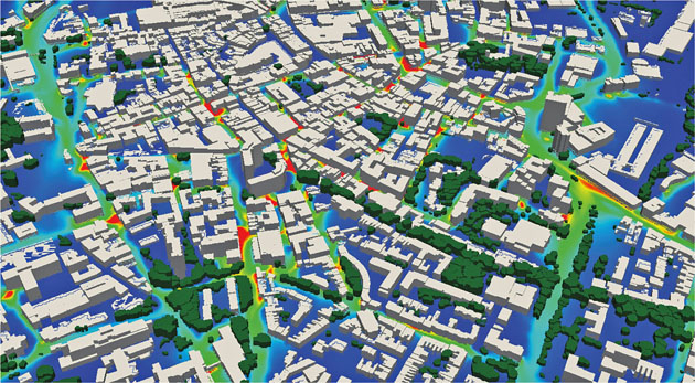
1st May 2018
EarthSense Maps Show Homeowners Air Pollution Levels1st May 2018
Bentley Systems Invites Members of the Press and Industry Analysts1st May 2018
GeoSpock launches unique location intelligence platform
1st May 2018
Space Forum 2018: From Space Application To Space Exploration1st May 2018
Esri Joins Smart Cities New York 2018 Conference
1st May 2018
Kinesis Takes to the Water with Speedboat Tracking on Lake Garda
1st May 2018
BIM 101 - An Introduction to BIM Level 2 and Digital Engineering
30th April 2018
OGC Calls for Sponsors for Maritime Limits and Boundaries Pilot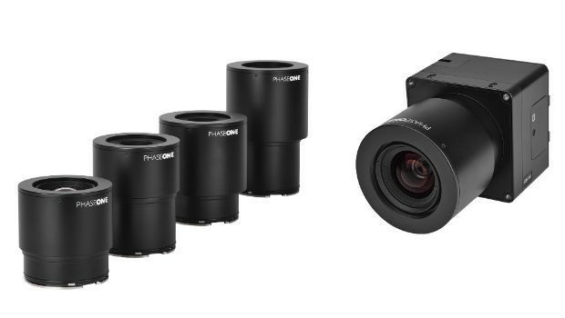
30th April 2018
Phase One Industrial Innovates UAV-based Aerial Imagery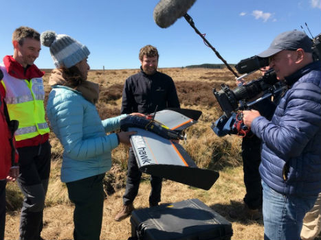
27th April 2018
QuestUAV showcasing on BBC One’s Countryfile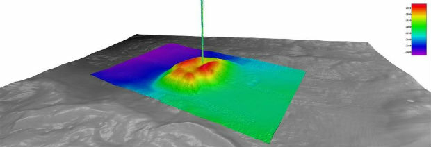
27th April 2018
Fugro Provides Seep Hunting Expertise Offshore Brazil
27th April 2018
First International Satellite-Derived Bathymetry Conference Announced
27th April 2018
Supergeo Supports Philippine Reseller RASA Surveying to Further Expand Business26th April 2018
Wet Infrastructure Summit and Future Drainage Conference