Unifly supports UNICEF's humanitarian drone corridor
8th May 2018
Unifly supports UNICEF's humanitarian drone corridorNews as it happens! Keep in touch with the latest developments in business and technology in the regions or worldwide.
8th May 2018
Unifly supports UNICEF's humanitarian drone corridor
8th May 2018
GEO|Design+BIM 2018 Opens Call for Speakers
8th May 2018
MilSatCom USA Conference Agenda has been Updated7th May 2018
Boundless Continues its Commitment to the Open Source Community7th May 2018
GPI Geospatial Purchases RIEGL VQ-1560i Airborne LiDAR System!
7th May 2018
OGC seeks public comment on new Interoperable Simulation


4th May 2018
MapAction GIS volunteers to join Royal Wedding celebrations4th May 2018
Wet Infrastructure Summit and Future Drainage Abu Dhabi Conference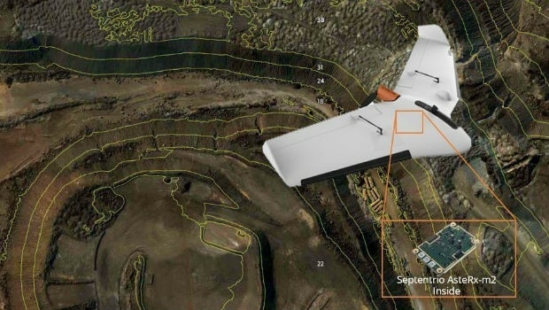
4th May 2018
Septentrio supplies AsteRx-m2 for Delair UX11 large-area mapping UAV
4th May 2018
Sponsorship for MGGG Geometry of Redistricting Workshops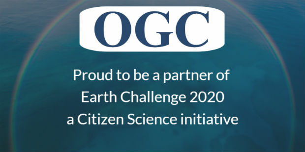
4th May 2018
OGC announced as official partner of Earth Challenge 2020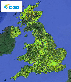
4th May 2018
CGG Launches New MotionMap UK National Ground Stability Database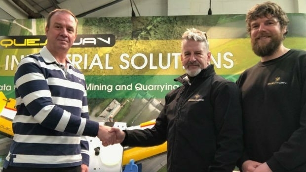
4th May 2018
QuestUAV Closes deal to Map World’s Largest Construction Project

4th May 2018
ISPS Code Fails To Contemplate Aerial Threats From Drones
4th May 2018
New Update for SuperGIS Desktop 10 After a Long Wait
3rd May 2018
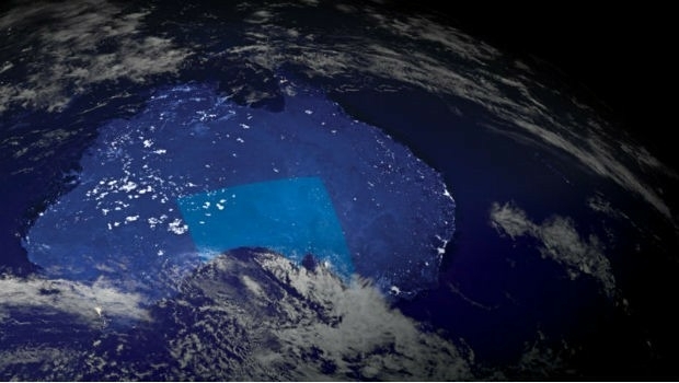
Australian states line up for slice of national space agency3rd May 2018
ELWAG Project announced to advance autonomous vehicle positioning