
Ordnance Survey underpins UK driverless car testing
16th August 2018
Ordnance Survey underpins UK driverless car testingNews as it happens! Keep in touch with the latest developments in business and technology in the regions or worldwide.
16th August 2018
Ordnance Survey underpins UK driverless car testing
16th August 2018
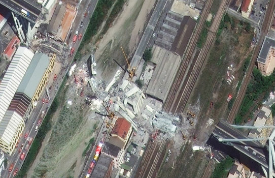
GENOA, ITALY: Satellite Images of Morandi Bridge Collapse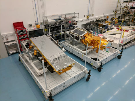
16th August 2018
SSTL announces NovaSAR-1 and SSTL S1-4 will launch on ISRO’s PSLV
16th August 2018
Drone Major Group invests in SUAS Global expansion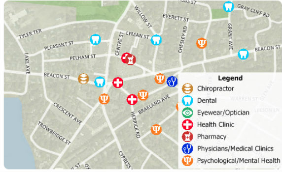
16th August 2018
Free Healthcare Data for Use with Maptitude 2018 Mapping Software
16th August 2018
Eos, LaserTech and Esri Introduce Laser Mapping Workflow15th August 2018
Hexagon expands Mining division’s channel program
15th August 2018
Martek Announce New Head of Counter-Drone Technology M.A.DS15th August 2018
UrtheCast Announce Term Sheet for Purchase of Geosys
15th August 2018
Remote Geo "Graduates" from Esri Startup to Silver Partner15th August 2018
The Danish Geodata Agency selects Teledyne CARIS15th August 2018
2018 URISA Exemplary Systems in Government Award Recipients Announced
14th August 2018
Garmin® expands cost-effective navigation databases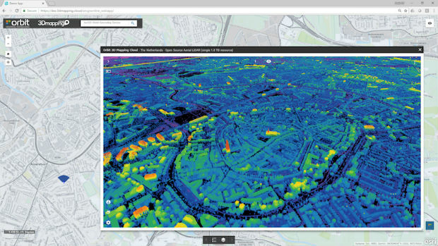
14th August 2018
Orbit GT releases free Esri ArcOnline Widget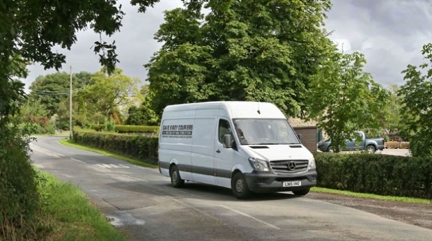
14th August 2018
Kinesis Live Route Tracking Gives Courier a Performance Boost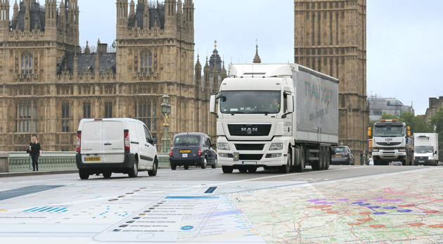
13th August 2018
Maxoptra and Geotab Integration Boosts Routing Precision
13th August 2018
Bluesky Captures Ultra High Resolution Aerial Images of Dublin
13th August 2018
Over 70% of exhibitors from the last show rebooked their stand
13th August 2018
ABPmer Appointed Designated Person for Langstone Harbour
13th August 2018
KYOCERA manufactures new ultra-small robust ceramic UHF RFID Tags