
Hexagon presents solutions for smart digital realities at INTERGEO
9th October 2018
Hexagon presents solutions for smart digital realities at INTERGEONews as it happens! Keep in touch with the latest developments in business and technology in the regions or worldwide.
9th October 2018
Hexagon presents solutions for smart digital realities at INTERGEO
9th October 2018
Handheld announces free MaxGo Android apps for staging and security9th October 2018
GIS4SmartGrid 2018, 20-22 November, Amsterdam, Smart Grid Forums
8th October 2018
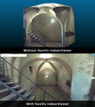
NavVis IndoorViewer converts static scans into immersive 360° imagery
8th October 2018
Highways Surveyors map out a new direction with Saber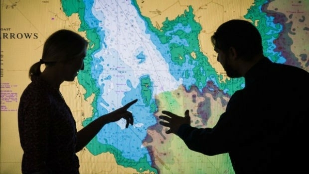
8th October 2018
UK Hydrographic Office to unlock the value of location-based information
8th October 2018
Hexagon Launches Public Safety Data Visualization and Analytics Software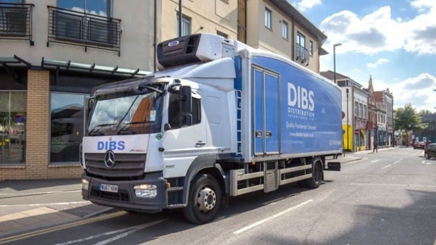
8th October 2018
Maxoptra Dynamic Routing Speeds Fast Food Deliveries8th October 2018
ERM Advanced Telematics launches a unique product8th October 2018
Airbus and Atos awarded major cyber security contract5th October 2018
URISA Releases White Paper Defining the Boundaries of Practice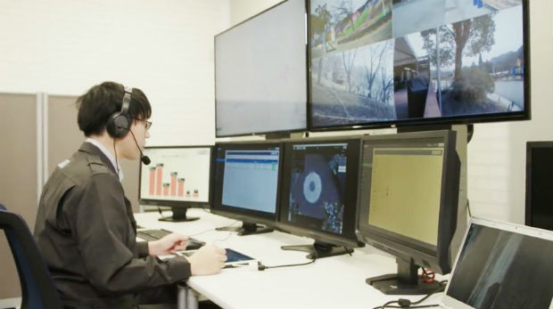
5th October 2018
Unifly and Terra Drone co-develop UTM system with Hitachi
5th October 2018
Hybrid multipair custom cable to enhance geophysical borehole5th October 2018
Leading Maritime Experts to Present Comprehensive Technical Briefings4th October 2018
Esri Incorporates BuildingFootprintUSA Data for Deep Learning
4th October 2018
HERE Technologies introduces HERE XYZ, a new cloud service
4th October 2018
Garmin announces the G1000 NXi upgrade for the Piper M500
4th October 2018
OGC requests comment on candidate standard: Geographic Information

3rd October 2018
Orbit GT opens Singapore office to support APAC region expansion
3rd October 2018
USGIF Launches Third Annual EdGEOcation Giving Campaign3rd October 2018
Fugro Enhances Support For Oil And Gas Industry In Nigeria