
1W Output Power at 577nm - Yellow High Power Laser
23rd October 2018
1W Output Power at 577nm - Yellow High Power LaserNews as it happens! Keep in touch with the latest developments in business and technology in the regions or worldwide.

23rd October 2018
1W Output Power at 577nm - Yellow High Power Laser23rd October 2018
Schneider Electric Expands Electric, Gas And Water Features
23rd October 2018
Bentley Systems Announces Winners of Year in Infrastructure 2018 Awards
23rd October 2018
Kinesis Keeps Markovitz Fleet on Track with Integrated Telematics
23rd October 2018
APLITOP & MAPTEC: Full solution for Surveying and Civil Engineering projects22nd October 2018
Esri Announces Student Poster Competition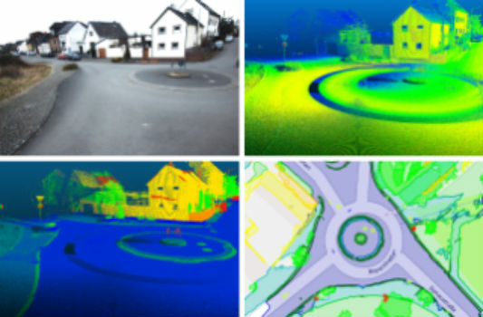
22nd October 2018
Fraunhofer IPM supports route planning for fiber-optic networks
22nd October 2018
OGC seeks public comment on Symbology Conceptual Core Model
22nd October 2018
Ordnance Survey appoints John Clarke as Non-Executive Director
22nd October 2018
ARUP Hosted BIM Event Success for 3D Repo
22nd October 2018
Comprehensive Modeling Environment for Multidiscipline CollaborationAirbus20171.jpg)
21st October 2018
Ariane 5 successfully launched from KourouAirbus2017.jpg)
21st October 2018
Ariane 5 successfully launched from Kourou21st October 2018
MOBtronic Man Overboard Solution Wins Prestigious Safety at Sea Award21st October 2018
Royal Navy’s invitation to Maritime Information Warfare 201819th October 2018
Royal Navy’s invitation to Maritime Information Warfare 201819th October 2018
Spectra Precision Announces Name Change and a New Brand Identity19th October 2018
Government of Canada to Invest $7.2 Million in exactEarth
19th October 2018
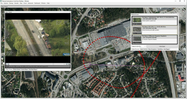
Remote GeoSystems Releases New MISB FMV Module18th October 2018
Apps from Avineon Now Available in the ArcGIS Marketplace
18th October 2018
Digitalisation gets everyone talking at INTERGEO 201818th October 2018
Geospatial Media and Communications announces GEO|Design+BIM Awards