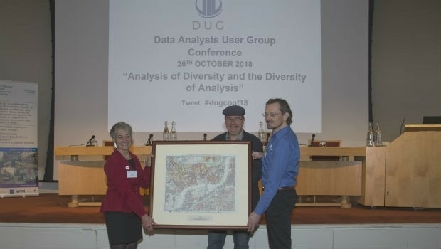
MapAction wins Data Analysts User Group award
7th November 2018
MapAction wins Data Analysts User Group awardNews as it happens! Keep in touch with the latest developments in business and technology in the regions or worldwide.

7th November 2018
MapAction wins Data Analysts User Group award
7th November 2018
All good things come in threes: MetOp-C successfully launched
7th November 2018
RIEGL is Expanding their Airborne and UAV Sensor Product Range!7th November 2018
Esri announces 20th annual GIS Day to be held on Nov 14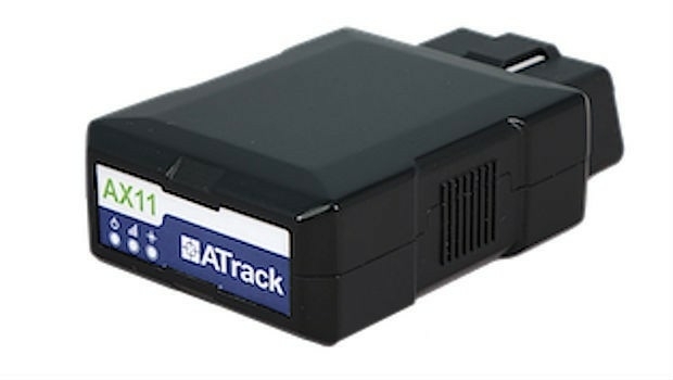
7th November 2018
ATrack Recognized with 2018 ICT Month Innovative Elite Award7th November 2018
TPC Desktop 2018 Release 2 is Now Available!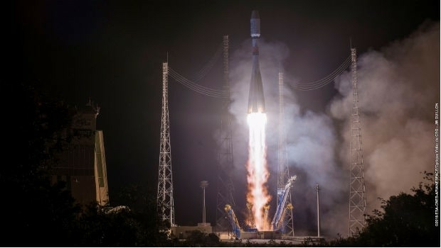
7th November 2018
EUMETSAT’s third Metop satellite successfully launched7th November 2018
RIEGL will be attending and exhibiting at Autodesk University 2018!
7th November 2018
Data validation from 1Spatial helps support Rural Payment Agency (RPA)
7th November 2018
Bluesky 3D Models Help Anglian Water Improve Infrastructure
6th November 2018
Kinesis Telematics Give John Hardie Transport Total Control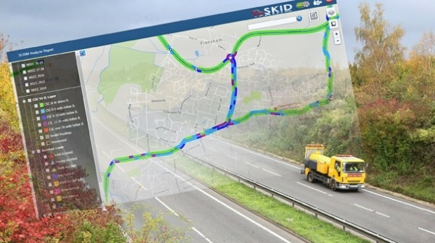
6th November 2018
Saber Skid Analysis Software Drives Safer Road Planning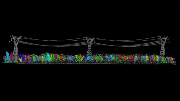
5th November 2018
GreenValley International launches new power line analysis software
1st November 2018
Bluesky Aerial Mapping Features in Orbx Flight Simulator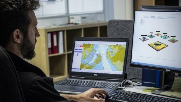
1st November 2018
L3 ASV to Conduct Autonomous Navigation Study for U.K. Government
31st October 2018
Fujitsu: New satellite navigation module MSB1054_Airbus-news.jpg)
31st October 2018
WorldDEM now entirely edited and available via streaming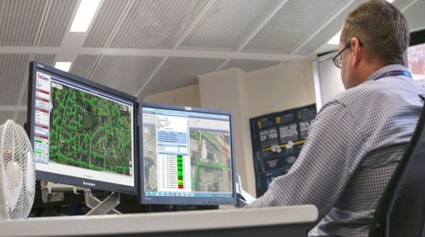
30th October 2018
Saber Online Surveys Aid Forward Planning for West Sussex Highways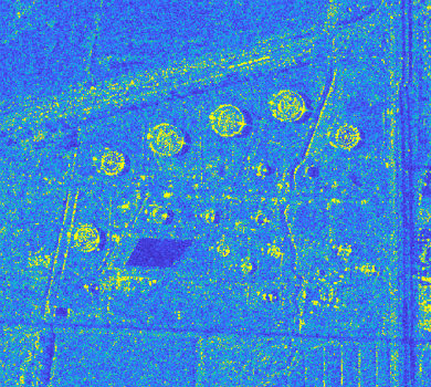
29th October 2018
Airbus and Ursa to continue partnership on use of radar satellite data29th October 2018
GfK releases updated maps for all of Europe
29th October 2018
SAFIR consortium chosen to carry out U-space drone demonstrations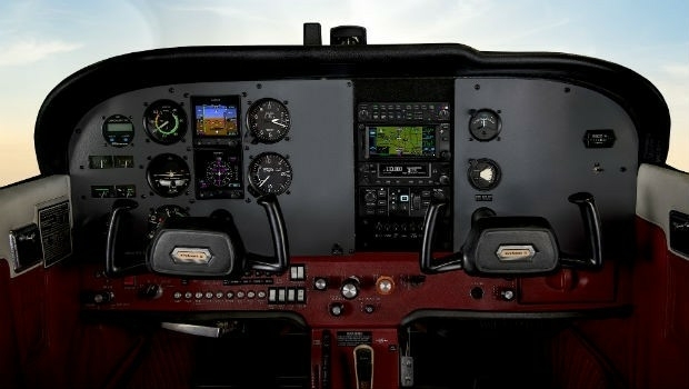
27th October 2018
Garmin receives approval for the GFC 500 autopilot
27th October 2018
Eos Supports Haiti Outreach in its Sustainable Water Initiative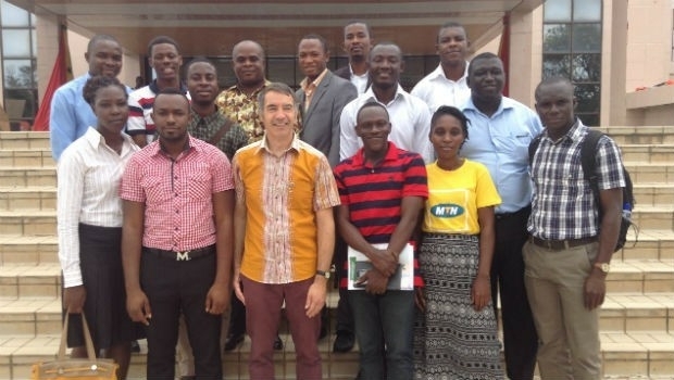
26th October 2018
DARA project wins Better Satellite World Award